Curated by PaddleWays
Montello River
- River
- 1 hazard marked
Montello River
- River
- 1 hazard marked
- River length
- 14.6 mi
- Curated route
- 1
- Hazard marked
- 1
- Public shoreline
- 0%
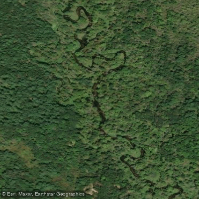
The Montello River is a scenic waterway in central Wisconsin, originating near Harris Pond and flowing generally eastward before joining the Fox River in the city of Montello. This relatively short river, approximately 15-20 miles in length, is part of the Upper Fox River watershed. Paddling opportunities on the Montello River range from quiet flatwater sections to more challenging stretches with obstacles. The river offers several distinct paddling segments, including the popular 3.7-mile stretch from 11th Road to Lake Montello, and a short but interesting 0.6-mile urban paddle from the Montello Dam to the Fox River confluence.
The difficulty of the Montello River varies from easy flatwater to Class II rapids, depending on the section and water levels. Most segments are suitable for intermediate paddlers, though some areas require more advanced skills to navigate around fallen trees and other obstacles. Spring and early summer typically offer the best paddling conditions, with higher water levels. Late summer and fall can still be enjoyable, but paddlers may encounter more exposed rocks and need to portage in low-water areas.
The river corridor supports a diverse ecosystem, with sandy bottoms and good water quality attracting various fish species. Paddlers may spot wildlife such as deer, waterfowl, and possibly beavers along the wooded banks. Key landmarks include the Montello Dam, featuring a man-made waterfall, and the historic lock where the Montello River meets the Fox River. Lake Montello serves as a central feature, offering additional paddling opportunities and access to Wells Point Park.
Primary access points include the 11th Road bridge near Crooked River Campground, Lawrence Lake Dam, and downtown Montello. The city of Montello serves as the main urban center along the river's course. Historically, the Montello River played a role in the region's logging industry and early settlement. Today, it contributes to the area's recreational appeal, drawing paddlers and anglers to its waters.
Safety considerations include being prepared for fallen trees and other obstacles, especially on less-traveled sections. Paddlers should check water levels and be aware of the Montello Dam's influence on water flow. While the Montello River's length doesn't lend itself to extensive multi-day trips, paddlers can combine segments or incorporate nearby Fox River sections for longer adventures. The river's proximity to campgrounds and the town of Montello makes it conducive to weekend getaways for outdoor enthusiasts.
Curated routes
Popular routes to paddle
Hand-picked by the PaddleWays team, with put-ins, take-outs, paddle times and the hazards along the way.
Hazards
Hazards on Montello River
No paddler has reported a hazard here yet, so these are the dams, falls and big rapids on our map. Hazards change with flows and storms, so check them before you launch.
From the community
Montello River trip reports
Nobody has shared a trip on Montello River yet. Paddle it, then tell the next paddler how it went.
Water access & public shoreline
See exactly where the public can get on and off the river. Launch points and boat ramps are paired with PaddleWays' public land data so you know where you can legally land.
Public shoreline
0%of the river's shoreline is public
- Public
- 0%
- Private
- 100%
Most of the riverbank is private. Launch, land and camp only at public access points.
Flows & paddling conditions (10 day forecast)
Flows, weather and a route-by-route verdict, so you know which stretch of the Montello River is worth paddling today.
No forecast data available.
Paddle smarter with real-time insights
Live flows, marked hazards and fresh trip reports from paddlers who were just on the water, all in one place.







Find Places to Paddle

Over 400,000 Places to Paddle
Every user gets free access to launch points, boat ramps, and public property parcels.



Paddling near Montello River
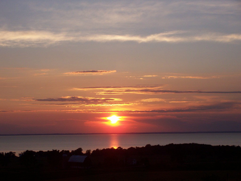
Lake Winnebago
Wisconsin
48.9 miles away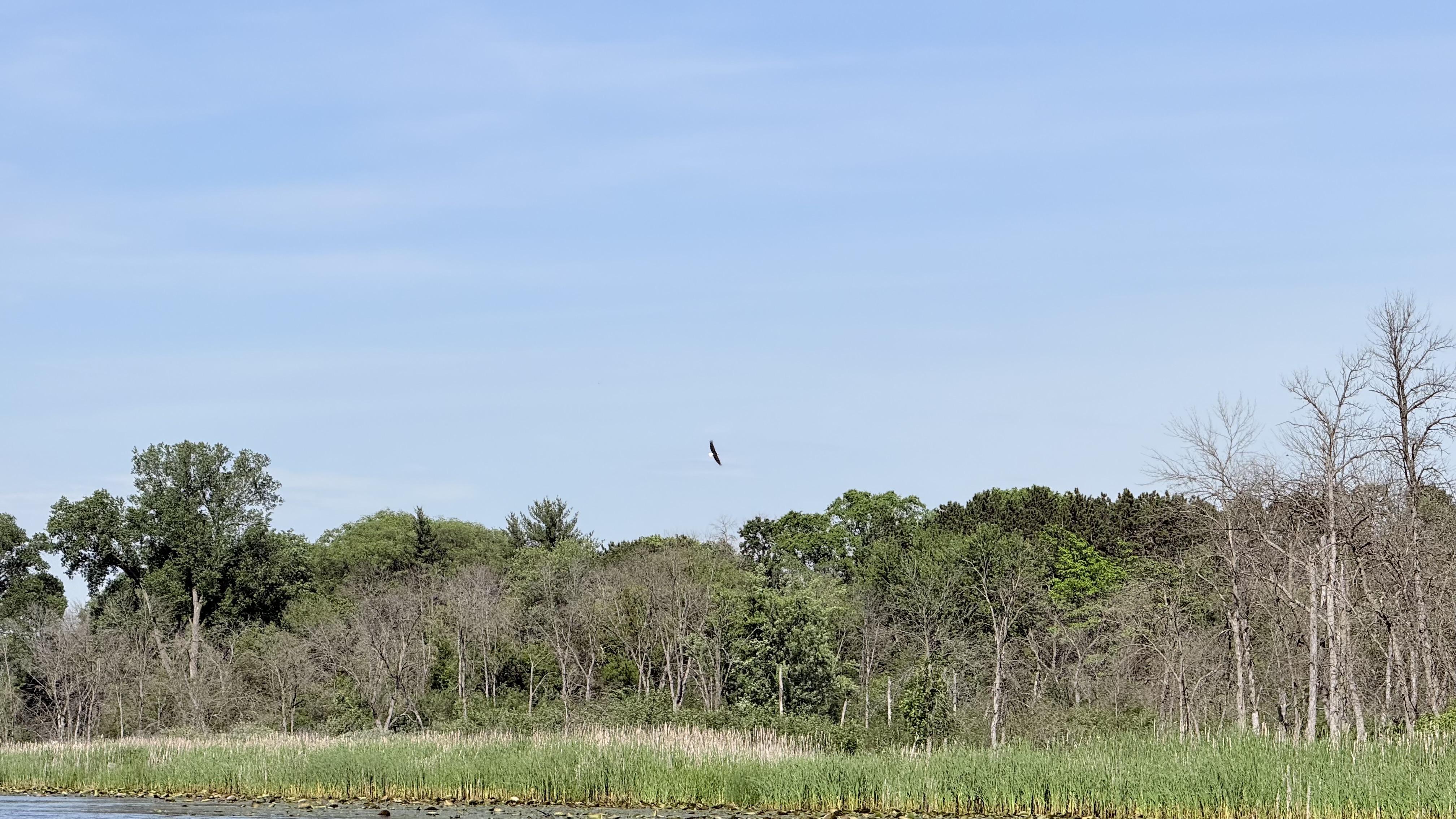
Fox River
Wisconsin
23.7 miles away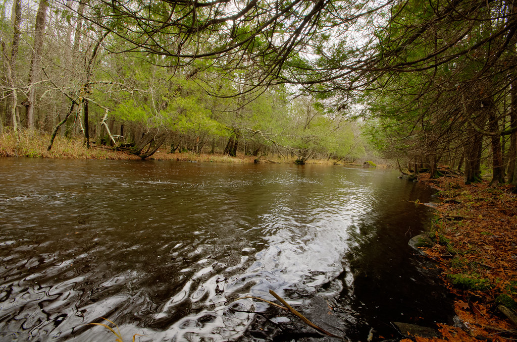
Wolf River
Wisconsin
81.2 miles away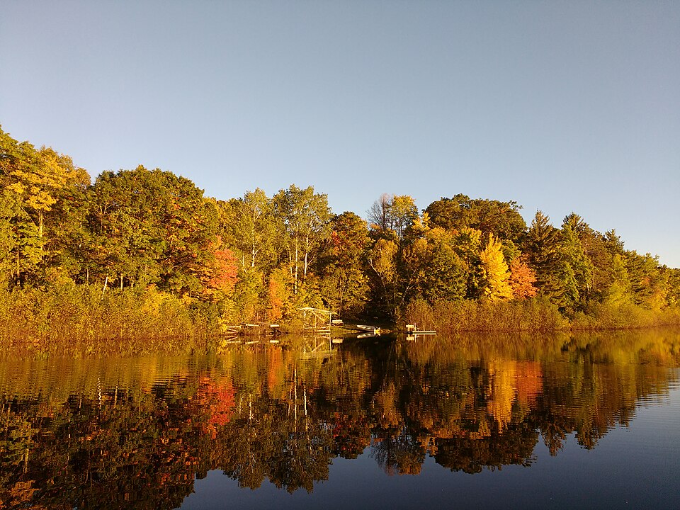
Silver Lake
Wisconsin
17.1 miles away
Lake Michigan
Illinois, Indiana, Michigan, Wisconsin
114.7 miles away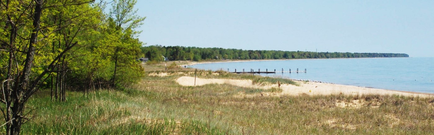
Sheboygan River
Wisconsin
67.5 miles away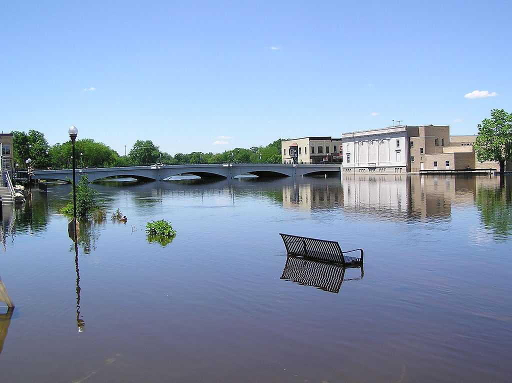
Rock River
Illinois, Wisconsin
96.1 miles away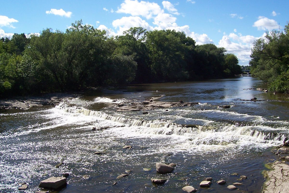
Milwaukee River
Wisconsin
70.9 miles away
Lake Butte des Morts
Wisconsin
40.7 miles away
Lake Poygan
Wisconsin
34.8 miles awayExplore Wisconsin waters
Top paddling waters
Popular Cities
Loading popular cities...
Explore near Montello River

Smarter Paddling Starts in the App.
PaddleWays gives you everything you need to plan smarter, paddle better, and own every trip from first launch to takeout.