Curated by PaddleWays
RouteClass I–II
- Distance
- 5 mi
- Paddle time
- ~1.5 hrs
- Best for
- Experienced paddlers
- Put-in → take-out
- Highway 23 → Rogersville Road - West Spur
Blind corners and pushy current
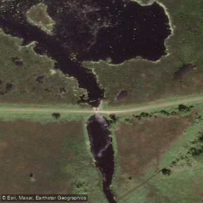
The West Branch Fond du Lac River originates near the Winnebago County line in Wisconsin and flows southeasterly through Fond du Lac County before turning sharply northward through the city of Fond du Lac to empty into Lake Winnebago. This waterway carves through pink loamy soils and lake sediments across remarkably flat terrain—geological remnants of ancient Glacial Lake Oshkosh. A defining feature along its course is the expansive Eldorado Marsh, a 1,500-acre wetland formed 10,000 years ago by the retreating Green Bay ice sheet and enhanced by a 1963 dike construction.
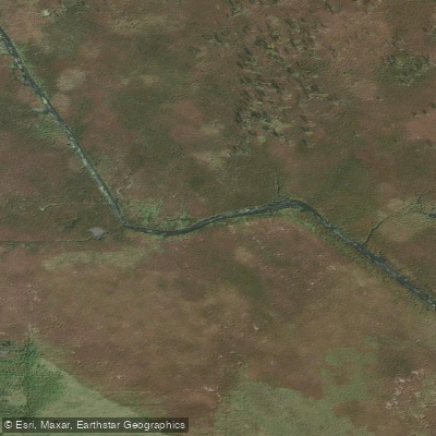
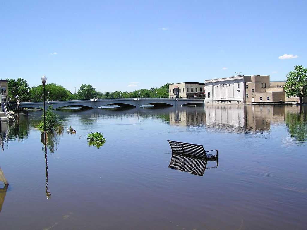
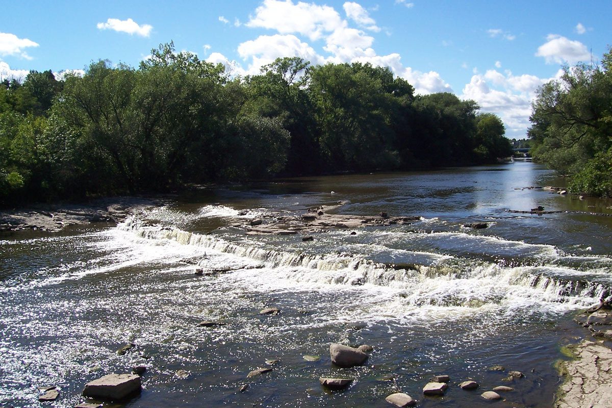
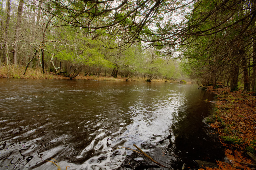
Paddlers can explore approximately 20 miles of navigable water from Highway C downstream to Lake Winnebago, with the river's character transforming dramatically along its journey. The upper section near Highway C begins as an inviting riffly creek flowing through wooded corridors before entering the cattail-dominated Eldorado Marsh. Below the Eldorado Dam, the river maintains swift current through narrow cattail channels with exceptional water clarity—pondweeds flowing gracefully in three-foot depths. From Highway 23 downstream, the West Branch transitions into its most engaging stretch, featuring sustained riffle beds, small boulder gardens, and surprisingly spirited rapids for such a flat landscape. The river gradually widens and slows as it approaches downtown Fond du Lac, passing industrial mills and concrete retaining walls before merging with the East Branch and continuing its final mile to Wisconsin's largest inland lake.
Difficulty ranges from Class I flatwater in the marsh and lower urban sections to Class I-II whitewater in the middle reaches between Highway 23 and Rogersville Road. Intermediate paddlers comfortable with pushy current, blind corners, and occasional deadfall will find the upper sections most rewarding, while beginners can safely navigate the lower flatwater stretches. Spring runoff and periods following two-inch rainfall provide optimal water levels for the riffly sections, though summer paddling remains viable with careful attention to water gauges.
Wildlife viewing opportunities abound throughout the system. The Eldorado Wildlife Area hosts nesting waterfowl including ducks and geese, wild pheasants, wild turkeys, and diverse songbirds. Paddlers regularly encounter great blue herons, frogs, turtles, and various fish species including northern pike, yellow perch, largemouth bass, and rock bass.
Primary access points include Highway C, Eldorado Dam/Dike Road, Highway 23 (the most popular put-in despite challenging roadside access), Forest Avenue, Rogersville Road, Western Avenue, South Hickory Street, and Lakeside Park at Lake Winnebago—all within or near Fond du Lac. The river flows entirely within Fond du Lac County, with the city of Fond du Lac serving as the primary gateway community.
Curated routes
Hand-picked by the PaddleWays team, with put-ins, take-outs, paddle times and the hazards along the way.
RouteClass I–II
RouteClass I–II
RouteClass I
Hazards
No paddler has reported a hazard here yet, so these are the dams, falls and big rapids on our map. Hazards change with flows and storms, so check them before you launch.
From the community
Nobody has shared a trip on West Branch Fond Du Lac River yet. Paddle it, then tell the next paddler how it went.
See exactly where the public can get on and off the river. Launch points and boat ramps are paired with PaddleWays' public land data so you know where you can legally land.
Public shoreline
24%of the river's shoreline is public
Most of the riverbank is private. Launch, land and camp only at public access points.
Flows, weather and a route-by-route verdict, so you know which stretch of the West Branch Fond Du Lac River is worth paddling today.
No forecast data available.
Live flows, marked hazards and fresh trip reports from paddlers who were just on the water, all in one place.





Every user gets free access to launch points, boat ramps, and public property parcels.

Loading popular cities...
PaddleWays gives you everything you need to plan smarter, paddle better, and own every trip from first launch to takeout.