Arroyo Buñirigo
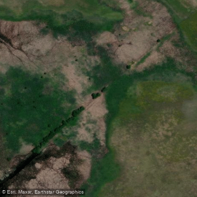
Arroyo Buñirigo
- Boat Ramps
- 0
- Access Points
- 0
- Campsites
- 0
Arroyo Buñirigo is a stream in the Atalaya area of Buenos Aires province that flows into the Río de la Plata. The arroyo carries significant historical weight, having served as an active colonial port through which salt arrived from southern Buenos Aires province and La Pampa, and salted meat was exported to the Caribbean and Brazil — a period during which as many as 40 vessels were reportedly moored here at once.
The most critical consideration for paddlers is water depth at and near the mouth. Sediment accumulation is a persistent and serious problem: the Río de la Plata deposits sediment in a north-south direction, building up to the north of the breakwater structures, while prevailing southeast winds contribute additional sand to the south side. The combined effect means that on most days the depth is insufficient even for small motorboats and inflatable craft to pass through. Paddlers should be aware that low water conditions can render the mouth effectively impassable, and conditions vary considerably depending on river levels.
At the mouth, there are partially constructed breakwater structures (escolleras) from an unfinished marina project that was begun several years ago and subsequently stalled. These structures present a navigational consideration and are visible during low-water periods. The intended marina would have served both recreational and commercial purposes, but the works remain incomplete.
Given the chronic shallow-water and sediment issues at the confluence with the Río de la Plata, paddlers planning to transit the mouth should carefully assess water levels before launching, as conditions that allow passage are the exception rather than the norm.
Water access, boat ramps & amenities
Learn how to get on Arroyo Buñirigo. Uncover great paddling access points, boat ramps, and all the facilities you need for an unforgettable day on the water. Some locations shown may border or include private property. Always check property boundaries and applicable regulations before visiting. PaddleWays's Public & Private Land layer can help you plan your access with confidence.
Paddle smarter with real-time insights
Whether you're en route and conditions shift or you're looking for the best spot based on current flows, we enable you to make informed decisions on the fly.







Buenos Aires licenses and regulations

Find Places to Paddle

Over 400,000 Places to Paddle
Every user gets free access to launch points, boat ramps, and public property parcels.


Water and weather conditions (10 day forecast)
See the best times to paddle Arroyo Buñirigo and check the forecast before you go.
Atalaya
Paddling near Arroyo Buñirigo

Rïo de la PLata
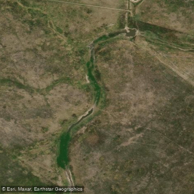
Arroyo El Pescado
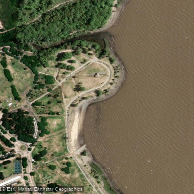
Playa de rellenos urbanos
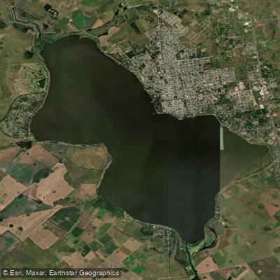
Laguna Chascomús
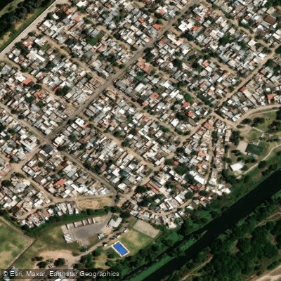
Río de la Reconquista
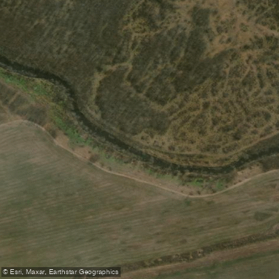
Río Luján
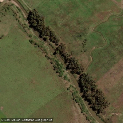
Río Samborombón Chico
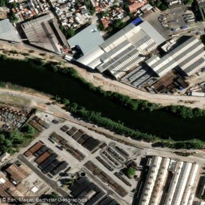
Riachuelo
Arroyo Espinillo
Explore Buenos Aires waters
Top paddling waters
No waters available right now.
Popular Cities
Loading popular cities...
Explore near Arroyo Buñirigo

Smarter Paddling Starts in the App.
Paddleways gives you everything you need to plan smarter, paddle better, and own every trip from first launch to takeout.