Arroyo Espinillo
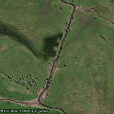
Arroyo Espinillo
- Boat Ramps
- 0
- Access Points
- 0
- Campsites
- 0
Arroyo Espinillo is a slow-moving stream located in the Partido de Magdalena, Buenos Aires province, flowing approximately 30 kilometers before emptying into the Río de la Plata. It runs through low-lying agricultural land with a minimal gradient, and its channel is carved into Cenozoic sedimentary deposits composed predominantly of silty-clay sediments with abundant organic detritus. The banks are defined by gentle, low bluffs in places.
Water depth in the dry season averages around 60 to 70 centimeters at its deepest points, making it quite shallow for much of the year. During periods of heavy rainfall, depths can reach approximately one meter, at which point the stream overflows its banks and inundates surrounding fields. The stream is fed primarily by local rainfall and by springs along its middle section. Water clarity varies depending on the zone and the volume of water being carried at any given time.
The area near Atalaya provides one known access point, reachable from Ruta Provincial 11 at approximately kilometer 48. From La Plata, a route via RP 36 through General Mansilla and Estación Bavio connects to RP 11 heading toward the Atalaya area.
The stream supports a notable diversity of aquatic life, including fish from the families Characidae, Crenuchidae, and Cichlidae, among others. Species such as Astyanax stenohalinus, Bryconamericus iheringii, Oligosarcus oligolepis, Characidium rachovii, and Australoheros facetus inhabit these waters. Aquatic diversity is most abundant during the dry season.
Given the very shallow depths in dry conditions, paddlers should be aware that the stream may not be navigable throughout its full length depending on seasonal water levels. The low current and flat terrain suggest a calm, unhurried character, though the shallow, turbid water and soft substrate are practical considerations for trip planning.
Water access, boat ramps & amenities
Learn how to get on Arroyo Espinillo. Uncover great paddling access points, boat ramps, and all the facilities you need for an unforgettable day on the water. Some locations shown may border or include private property. Always check property boundaries and applicable regulations before visiting. PaddleWays's Public & Private Land layer can help you plan your access with confidence.
Paddle smarter with real-time insights
Whether you're en route and conditions shift or you're looking for the best spot based on current flows, we enable you to make informed decisions on the fly.







Buenos Aires licenses and regulations

Find Places to Paddle

Over 400,000 Places to Paddle
Every user gets free access to launch points, boat ramps, and public property parcels.


Water and weather conditions (10 day forecast)
See the best times to paddle Arroyo Espinillo and check the forecast before you go.
No forecast data available.
Paddling near Arroyo Espinillo

Rïo de la PLata
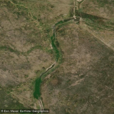
Arroyo El Pescado
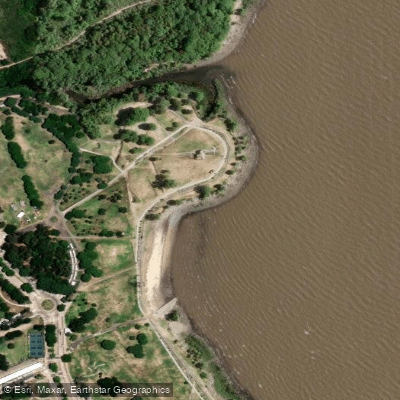
Playa de rellenos urbanos
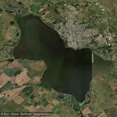
Laguna Chascomús
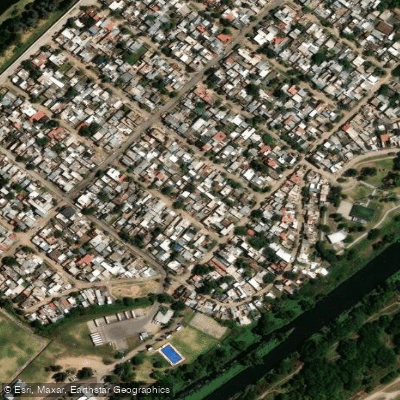
Río de la Reconquista
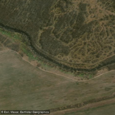
Río Luján
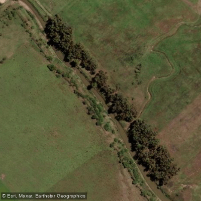
Río Samborombón Chico
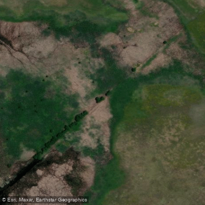
Arroyo Buñirigo
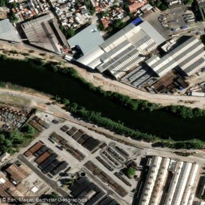
Riachuelo
Explore Buenos Aires waters
Top paddling waters
No waters available right now.
Popular Cities
Loading popular cities...
Explore near Arroyo Espinillo

Smarter Paddling Starts in the App.
Paddleways gives you everything you need to plan smarter, paddle better, and own every trip from first launch to takeout.