Río Salado
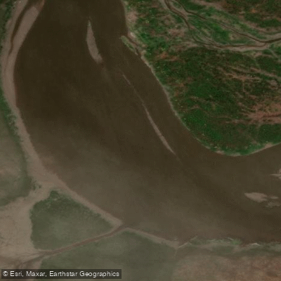
Río Salado
- Boat Ramps
- 0
- Access Points
- 0
- Campsites
- 2
The Río Salado in Buenos Aires Province is a substantial lowland river that originates at Lake El Chañar on the border with Santa Fe Province, at an elevation of roughly 40 metres above sea level, and flows generally southeast for approximately 640 kilometres before emptying into Samborombón Bay, part of the Río de la Plata estuary. The river's mouth lies about 170 kilometres south of the city of Buenos Aires. As a Pampas river, it moves through flat, open terrain characteristic of the region.
A popular paddling route runs approximately 50 kilometres downstream from the bridge at Ruta Nacional 3 to the city of General Belgrano, typically completed as a two-day trip with an overnight camp along the bank. The itinerary involves launching at the Puente Ruta 3 crossing, stopping midway at the paraje known as "La Chumbeada" for a midday rest, and making camp before continuing to General Belgrano on the second day. The river's wide channel is the defining feature of this stretch, and paddlers should ease into maneuvering on the broad waterway at the start.
General Belgrano, the downstream terminus of this route, sits directly on the river and offers a maintained riverside walk ideal for birdwatching, with numerous bird species present in the area. Hot springs are located a short distance from the riverbank in General Belgrano as well.
The river supports trahira, common carp, and Argentinian silverside, reflecting its character as a warm, slow-moving lowland waterway. Kayak trips on this stretch typically accommodate group sizes of two to four participants, making it manageable for small groups. The flat Pampas terrain means there are no significant rapids or technical whitewater features on this section; the primary challenge is the physical distance covered over two days of paddling.
Water access, boat ramps & amenities
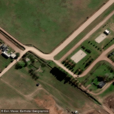
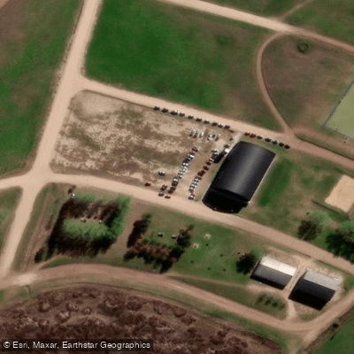
Learn how to get on Río Salado. Uncover great paddling access points, boat ramps, and all the facilities you need for an unforgettable day on the water. Some locations shown may border or include private property. Always check property boundaries and applicable regulations before visiting. PaddleWays's Public & Private Land layer can help you plan your access with confidence.
Paddle smarter with real-time insights
Whether you're en route and conditions shift or you're looking for the best spot based on current flows, we enable you to make informed decisions on the fly.







Buenos Aires licenses and regulations

Find Places to Paddle

Over 400,000 Places to Paddle
Every user gets free access to launch points, boat ramps, and public property parcels.


Water and weather conditions (10 day forecast)
See the best times to paddle Río Salado and check the forecast before you go.
Salado - RP Nº50
All Flow Stations
Paddling near Río Salado
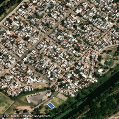
Río de la Reconquista
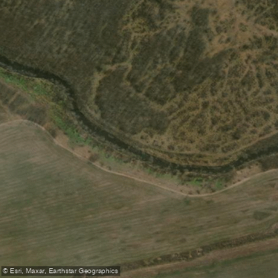
Río Luján
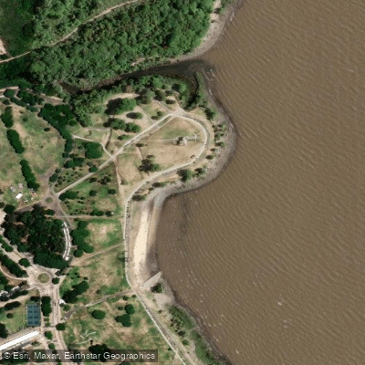
Playa de rellenos urbanos
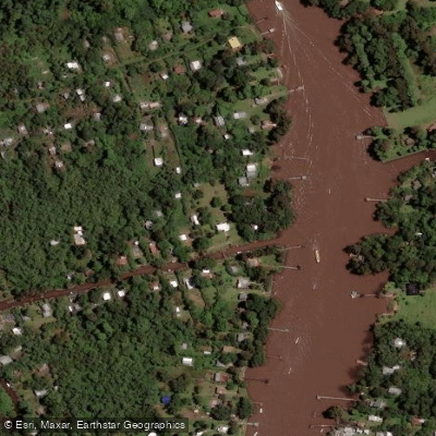
Río Sarmiento
Rïo de la PLata

Río Paraná
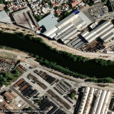
Riachuelo
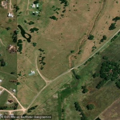
Arroyo Durazno Chico
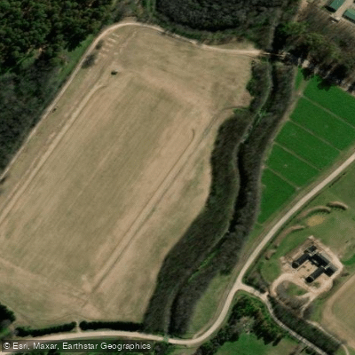
Arroyo Cañuelas
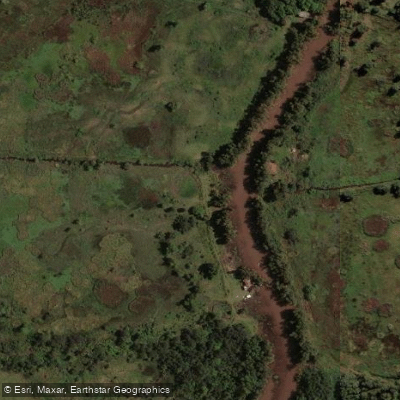
Arroyo Espera
Explore Buenos Aires waters
Top paddling waters
No waters available right now.
Popular Cities
Loading popular cities...
Explore near Río Salado

Smarter Paddling Starts in the App.
Paddleways gives you everything you need to plan smarter, paddle better, and own every trip from first launch to takeout.