Arroyo Garuhapé
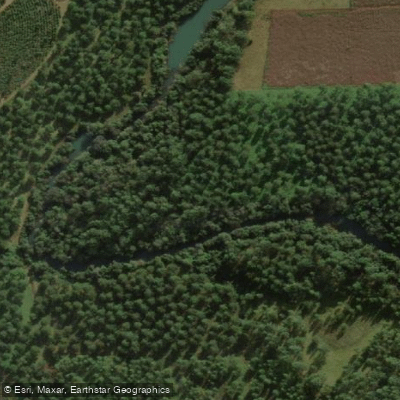
Arroyo Garuhapé
- Boat Ramps
- 0
- Access Points
- 0
- Campsites
- 5
Arroyo Garuhapé is a stream located in Misiones, Argentina, at approximately 26°47′24.4″S, 54°57′41.8″W. It flows through dense monte and jungle vegetation typical of the Misiones region, with crystal clear water. The surrounding landscape offers an immersive natural environment with forest canopy close to the water.
The arroyo is used for both kayak and inflatable raft (gomón) excursions. Guided kayak trips are organized departing from Cueva del Yaguareté, a nearby landmark that serves as a practical staging point for paddlers. These outings typically run two to three hours in duration and are considered appropriate for both beginners and more experienced paddlers, suggesting the stream presents no extreme technical challenges under normal conditions. Guided tours include kayak, paddle, life vest, and a permanent coordinator, indicating that organized access with safety support is available.
The inflatable raft option on the arroyo offers a more adrenaline-oriented experience, suggesting there are sections with enough current or features to make that craft worthwhile, though specific rapid classifications or gradient data are not documented.
In terms of fishing, the arroyo is a habitat for Golden dorado, a species associated with clean, well-oxygenated subtropical rivers, which is consistent with the reported water clarity.
Paddlers planning independent trips should note that most documented access to the arroyo appears to be through guided operators based at Cueva del Yaguareté. No specific information is available regarding independent put-in or take-out points, seasonal water level variations, or formal regulations governing paddling on the stream.
Water access, boat ramps & amenities
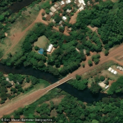
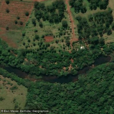
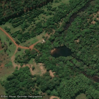
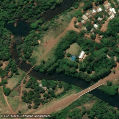
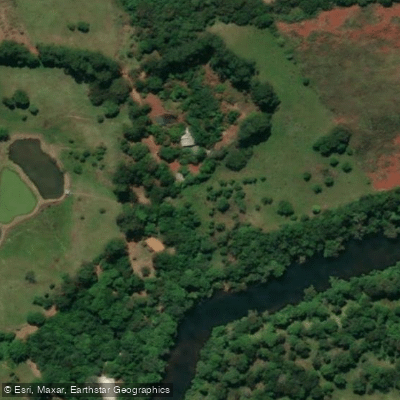
Learn how to get on Arroyo Garuhapé. Uncover great paddling access points, boat ramps, and all the facilities you need for an unforgettable day on the water. Some locations shown may border or include private property. Always check property boundaries and applicable regulations before visiting. PaddleWays's Public & Private Land layer can help you plan your access with confidence.
Paddle smarter with real-time insights
Whether you're en route and conditions shift or you're looking for the best spot based on current flows, we enable you to make informed decisions on the fly.







Misiones licenses and regulations

Find Places to Paddle

Over 400,000 Places to Paddle
Every user gets free access to launch points, boat ramps, and public property parcels.


Water and weather conditions (10 day forecast)
See the best times to paddle Arroyo Garuhapé and check the forecast before you go.
No forecast data available.
Paddling near Arroyo Garuhapé
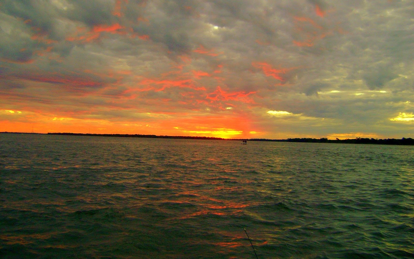
Río Paraná

Río Paraná
Arroyo del Medio
Arroyo Acaraguá
Arroyo Yabebiry
Arroyo Ramón
Río Paraná
Arroyo Ñacanguazú
Arroyo Mártires
Explore Misiones waters
Top paddling waters
No waters available right now.
Popular Cities
Loading popular cities...
Explore near Arroyo Garuhapé

Smarter Paddling Starts in the App.
Paddleways gives you everything you need to plan smarter, paddle better, and own every trip from first launch to takeout.