Arroyo Yabotí Miní
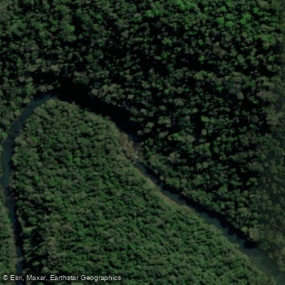
Arroyo Yabotí Miní
- Boat Ramps
- 0
- Access Points
- 0
- Campsites
- 0
Arroyo Yabotí Miní originates in the northeastern extreme of the Sierra de Misiones and flows from north to south, running along the eastern edge of Parque Provincial Esmeralda, which forms the core zone of the Reserva de Biosfera Yabotí. Where it meets the Arroyo Yabotí Guazú, the two streams combine to form the Arroyo Yabotí, which in turn flows into the Río Uruguay a short distance downstream from the Saltos del Moconá.
A documented expedition in February 2018 navigated approximately 9 km along the Arroyo Yabotí Miní and a further 22 km along the Yabotí, beginning at the margins of the Guaraní community of Tucuaruchú and ending at the bridge marking the entrance to Parque Provincial Moconá. This route passed through areas of the Parque Provincial Esmeralda that had not previously been explored, suggesting the corridor is remote and sees very little traffic. The expedition was conducted over two days, giving an indication of the time commitment involved for this stretch.
The surrounding landscape is characterized by primary rainforest, rocky walls, and tributary streams — features consistent with the dense Atlantic Forest of Misiones. The area falls within a protected biosphere reserve, and the expedition's scientific purpose involved collecting ferns and lycophytes, reflecting the botanical richness of the riparian environment.
Detailed information on access logistics, hazards, water levels, facilities, and regulations is limited. Paddlers considering this route should seek current guidance from local authorities or park administration for the Reserva de Biosfera Yabotí and Parque Provincial Esmeralda, as the waterway borders protected core zones where specific rules may apply.
Water access, boat ramps & amenities
Learn how to get on Arroyo Yabotí Miní. Uncover great paddling access points, boat ramps, and all the facilities you need for an unforgettable day on the water. Some locations shown may border or include private property. Always check property boundaries and applicable regulations before visiting. PaddleWays's Public & Private Land layer can help you plan your access with confidence.
Paddle smarter with real-time insights
Whether you're en route and conditions shift or you're looking for the best spot based on current flows, we enable you to make informed decisions on the fly.







Misiones licenses and regulations

Find Places to Paddle

Over 400,000 Places to Paddle
Every user gets free access to launch points, boat ramps, and public property parcels.


Water and weather conditions (10 day forecast)
See the best times to paddle Arroyo Yabotí Miní and check the forecast before you go.
No forecast data available.
Paddling near Arroyo Yabotí Miní
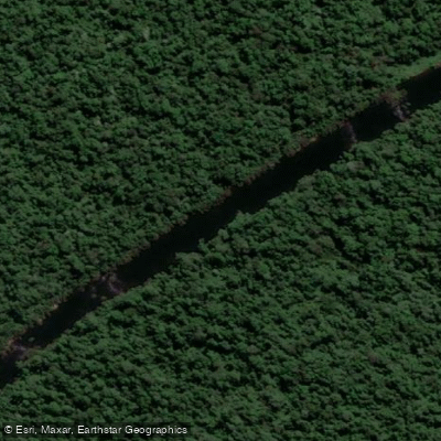
Arroyo Piray Guazú
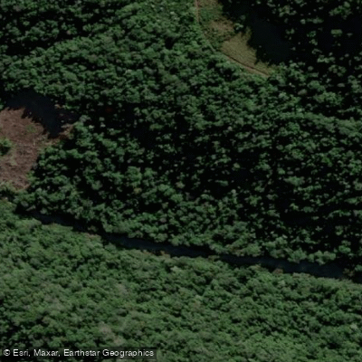
Arroyo Soberbio
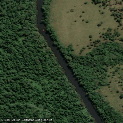
Arroyo Piray Miní

Río Uruguay
Río Paraná

Río Paraná
Arroyo Urugua-í o Grande
Río Pepirí Guazú
Arroyo Uruguay o Grande
Explore Misiones waters
Top paddling waters
No waters available right now.
Popular Cities
Loading popular cities...
Explore near Arroyo Yabotí Miní

Smarter Paddling Starts in the App.
Paddleways gives you everything you need to plan smarter, paddle better, and own every trip from first launch to takeout.