Río Pepirí Guazú
Río Pepirí Guazú
- Boat Ramps
- 0
- Access Points
- 0
- Campsites
- 0
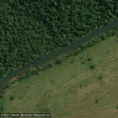
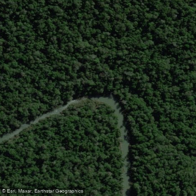
The Río Pepirí Guazú is a 319-kilometer river that runs the entire length of the international border between the province of Misiones, Argentina and the state of Santa Catarina, Brazil. It originates in the Sierra de Misiones near the town of Bernardo de Irigoyen and flows southward, eventually emptying into the río Uruguay a short distance upstream from the Saltos del Moconá. Throughout its course the river traces numerous meanders, giving it a winding, sinuous character that defines much of the paddling experience.
One of the river's most striking features is the sharp contrast between its two banks. The Argentine side remains largely intact as Atlantic Forest, protected within the Reserva de la Biosfera Yabotí, while the Brazilian side has been extensively cleared for agriculture, resulting in a landscape that is almost entirely cultivated. This juxtaposition makes the river a visible boundary between two very different land-use histories.
Along the course of the river, paddlers will encounter several significant drops and rapids. Named features include the Gran Salto Macora, the Salto de la Marca, the Salto Leicao, the Salto Valiente, and the rapids section known as Macacos Blancos. These features represent serious hazards that require careful assessment and portaging depending on water levels and paddler experience. The principal tributaries entering from the Argentine side are the arroyos Los Hermanos and Toro; the río das Flores joins from the Brazilian side.
The river's remote setting within the Yabotí Biosphere Reserve means that infrastructure and amenities for paddlers are minimal. The reserve status on the Argentine bank implies that access and activities may be subject to regulations, and paddlers should verify current permit requirements with provincial authorities before planning a trip. The combination of waterfalls, rapids, dense forest cover on the Argentine bank, and the river's role as an international border all add logistical complexity to any expedition here. Given its length, southward orientation, and the presence of multiple significant drops, any multi-day descent requires thorough advance planning regarding portages, resupply, and border formalities.
Water access, boat ramps & amenities
Learn how to get on Río Pepirí Guazú. Uncover great paddling access points, boat ramps, and all the facilities you need for an unforgettable day on the water. Some locations shown may border or include private property. Always check property boundaries and applicable regulations before visiting. PaddleWays's Public & Private Land layer can help you plan your access with confidence.
Paddle smarter with real-time insights
Whether you're en route and conditions shift or you're looking for the best spot based on current flows, we enable you to make informed decisions on the fly.







Misiones licenses and regulations

Find Places to Paddle

Over 400,000 Places to Paddle
Every user gets free access to launch points, boat ramps, and public property parcels.


Water and weather conditions (10 day forecast)
See the best times to paddle Río Pepirí Guazú and check the forecast before you go.
Pepirí Guazú-Pte.Int.P.Rosales
All Flow Stations
Paddling near Río Pepirí Guazú
Arroyo Piray Guazú
Arroyo Soberbio
Arroyo Piray Miní

Río Uruguay
Río Paraná

Río Paraná
Arroyo Urugua-í o Grande
Arroyo Yabotí Miní
Arroyo Uruguay o Grande
Explore Misiones waters
Top paddling waters
No waters available right now.
Popular Cities
Loading popular cities...
Explore near Río Pepirí Guazú

Smarter Paddling Starts in the App.
Paddleways gives you everything you need to plan smarter, paddle better, and own every trip from first launch to takeout.