Lago Gutiérrez
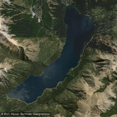
Lago Gutiérrez
- Boat Ramps
- 0
- Access Points
- 0
- Campsites
- 3
Lago Gutiérrez is a glacially formed, moraine-dammed lake located in the Bariloche Department of Río Negro Province, Argentina, within the Nahuel Huapi National Park. It sits at an elevation of approximately 790 meters above sea level, covers a surface area of 17.4 km², and reaches a maximum depth of 111 meters. The lake lies roughly 15 to 16 kilometers from the center of San Carlos de Bariloche, positioned in a valley flanked by Cerro Otto, Cerro Catedral, and Cerro de la Ventana. Its outflow is the río Gutiérrez, which drains into the neighboring Lago Nahuel Huapi and ultimately into the Atlantic Ocean via the Limay and Negro rivers. The lake receives inflows from streams descending from Cerro Catedral and the Ñirihuau range.
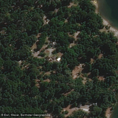
The western shore is the primary base for kayaking activity, where the Camping Lago Gutiérrez sits adjacent to a park rangers' station. This is the standard put-in location for guided tours. The lake features calm, tranquil waters, making it accessible to paddlers without prior experience. Guided half-day kayaking excursions typically cover a total of 6 kilometers, often broken into two paddling segments of roughly 50 minutes each, with a rest stop at a beach midway. Double kayaks are the standard craft used on guided tours. The lake hosts the largest number of kayak crossings among the lakes in the Bariloche area.
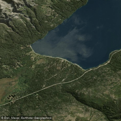
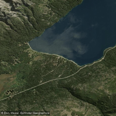
Several beaches are accessible along the lake's shores, including Villa Los Coihues at the northern end, reachable via Ruta 40 approximately 15 kilometers from the city center. The western shore is accessible by road, and the southern margin, toward El Bolsón, is also reachable by vehicle. The surrounding landscape is characterized by coihue forests and other southern beech species, denser on the western side and more open to the east.
The lake supports populations of rainbow trout, brown trout, and brook trout, making it a destination for sport fishing. Kelp gulls and blue-eyed cormorants are present on the lake despite its inland, high-altitude location. The majority of the shoreline falls within Nahuel Huapi National Park. Camping facilities are available at the lake, and guided kayak tours include life vests, paddles, professional guides, and liability coverage.
Water access, boat ramps & amenities
Learn how to get on Lago Gutiérrez. Uncover great paddling access points, boat ramps, and all the facilities you need for an unforgettable day on the water. Some locations shown may border or include private property. Always check property boundaries and applicable regulations before visiting. PaddleWays's Public & Private Land layer can help you plan your access with confidence.
Paddle smarter with real-time insights
Whether you're en route and conditions shift or you're looking for the best spot based on current flows, we enable you to make informed decisions on the fly.







Río Negro licenses and regulations

Find Places to Paddle

Over 400,000 Places to Paddle
Every user gets free access to launch points, boat ramps, and public property parcels.


Water and weather conditions (10 day forecast)
See the best times to paddle Lago Gutiérrez and check the forecast before you go.
No forecast data available.
Paddling near Lago Gutiérrez
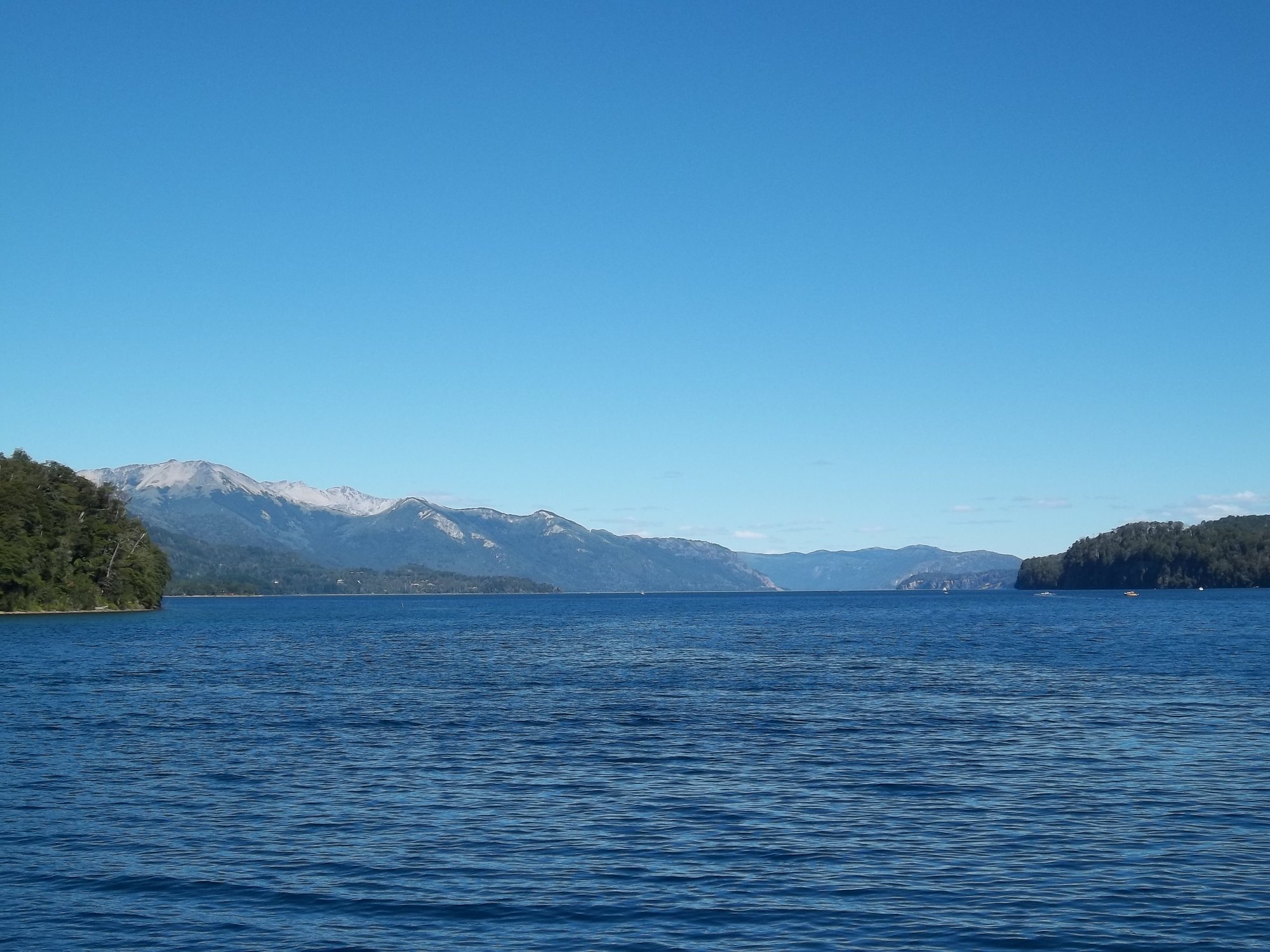
Lago Nahuel Huapi
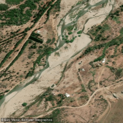
Río Ñirihuau
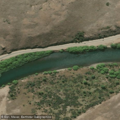
Río Limay
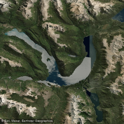
Lago Mascardi
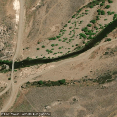
Río Pichi Leufú
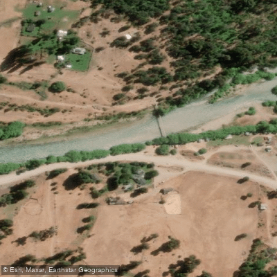
Río Manso
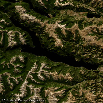
Lago Traful
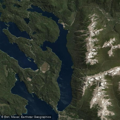
Lago Correntoso
Río Chubut
Explore Río Negro waters
Top paddling waters
No waters available right now.
Popular Cities
Loading popular cities...
Explore near Lago Gutiérrez

Smarter Paddling Starts in the App.
Paddleways gives you everything you need to plan smarter, paddle better, and own every trip from first launch to takeout.