Río Salado
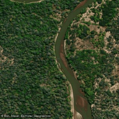
Río Salado
- Boat Ramps
- 0
- Access Points
- 0
- Campsites
- 1
The Río Salado is a major river system in Argentina, flowing for approximately 1,150 kilometers from its source in Salta Province. The section flowing through Santiago del Estero province is part of this extensive watercourse. The river's name translates to "Salty River," which provides a clue to its character. Specific paddling experiences are organized, such as multi-day kayaking trips that begin with participants lowering kayaks into the river and gradually adapting their maneuvers to enjoy the wide channel. These organized excursions typically involve a midday stop for a picnic lunch on the riverbank. The river's broad channel and the surrounding landscape of the Santiago del Estero region define the paddling environment. Access points, boat ramps, and facilities for a day on the water are noted, including at the Predio del Bicentenario. The river is listed among other significant waterways in the province, such as the Río Dulce and Río Horcones, indicating its regional importance. The overall experience is presented as one suited for organized recreational paddling on a substantial river course.
Water access, boat ramps & amenities
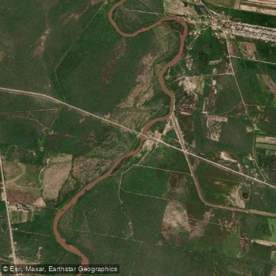
Learn how to get on Río Salado. Uncover great paddling access points, boat ramps, and all the facilities you need for an unforgettable day on the water. Some locations shown may border or include private property. Always check property boundaries and applicable regulations before visiting. PaddleWays's Public & Private Land layer can help you plan your access with confidence.
Paddle smarter with real-time insights
Whether you're en route and conditions shift or you're looking for the best spot based on current flows, we enable you to make informed decisions on the fly.







Salta licenses and regulations

Find Places to Paddle

Over 400,000 Places to Paddle
Every user gets free access to launch points, boat ramps, and public property parcels.


Water and weather conditions (10 day forecast)
See the best times to paddle Río Salado and check the forecast before you go.
Canal Liag - Quebrachal
All Flow Stations
Paddling near Río Salado

Río Paraná
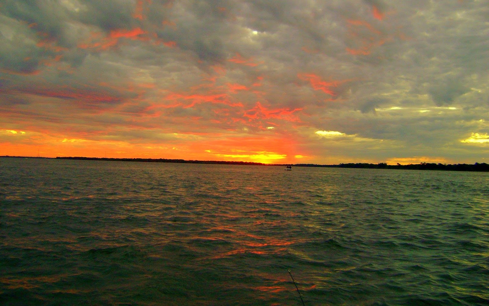
Río Paraná
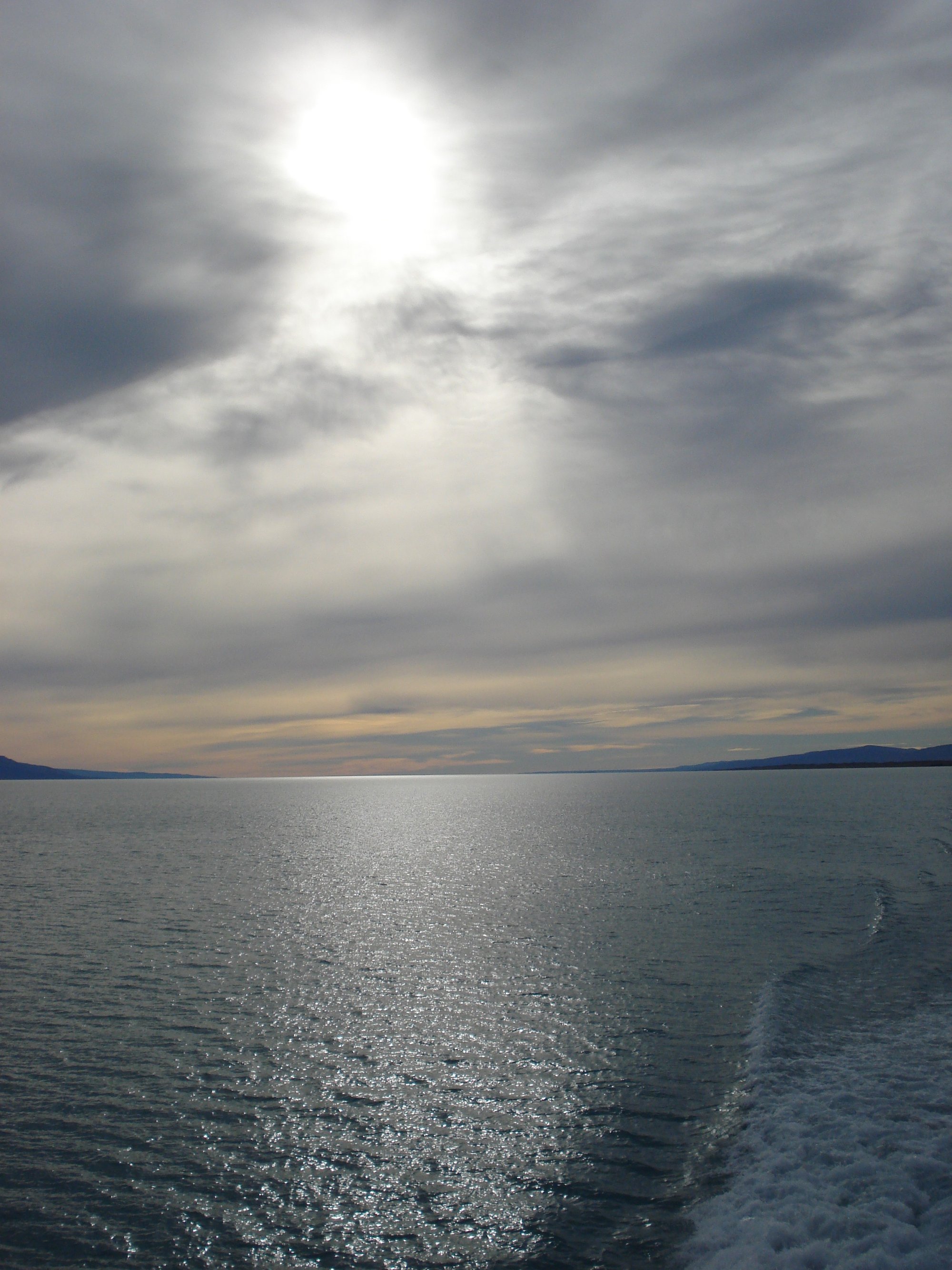
Lago Argentino
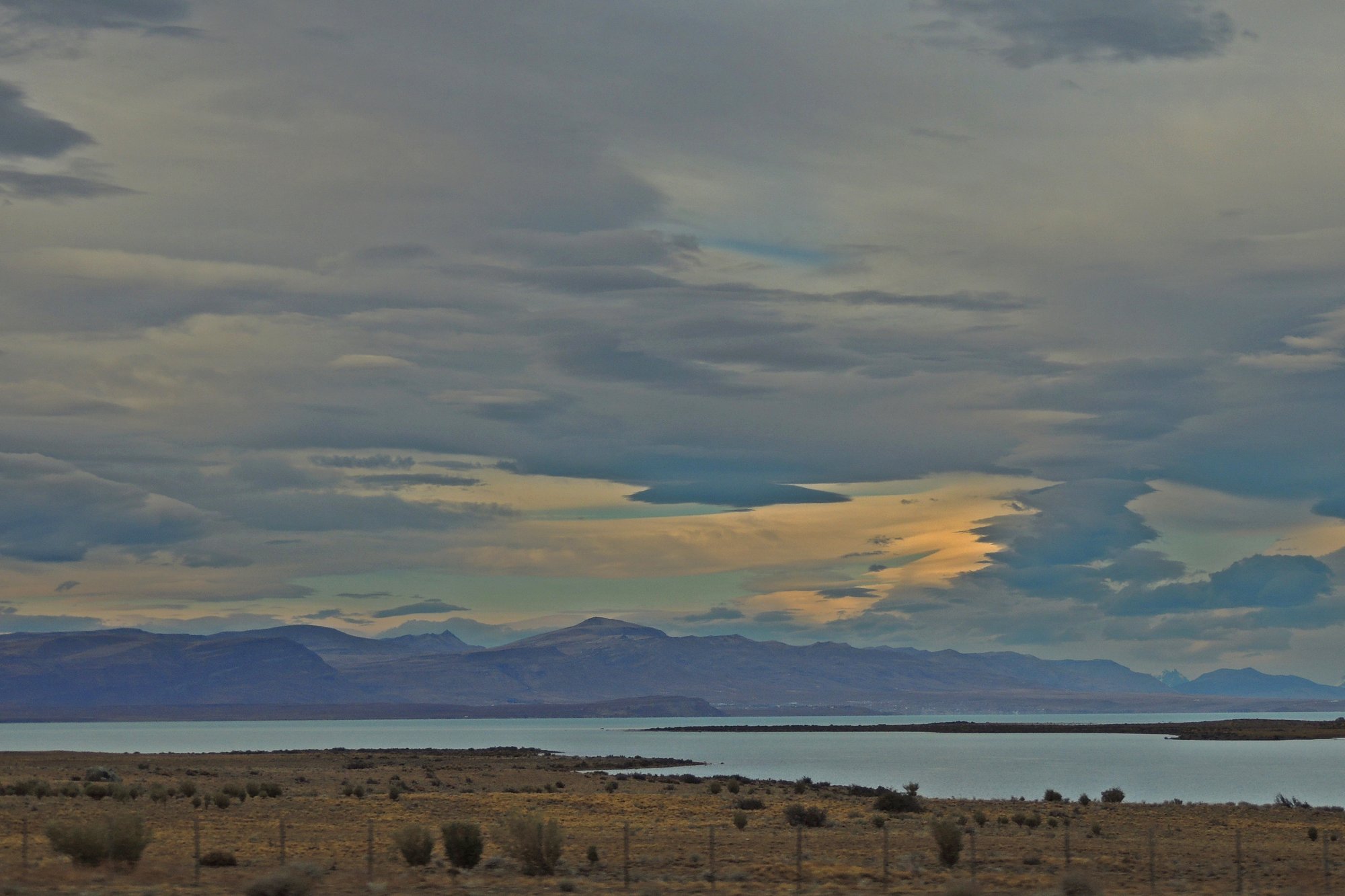
Lago Viedma
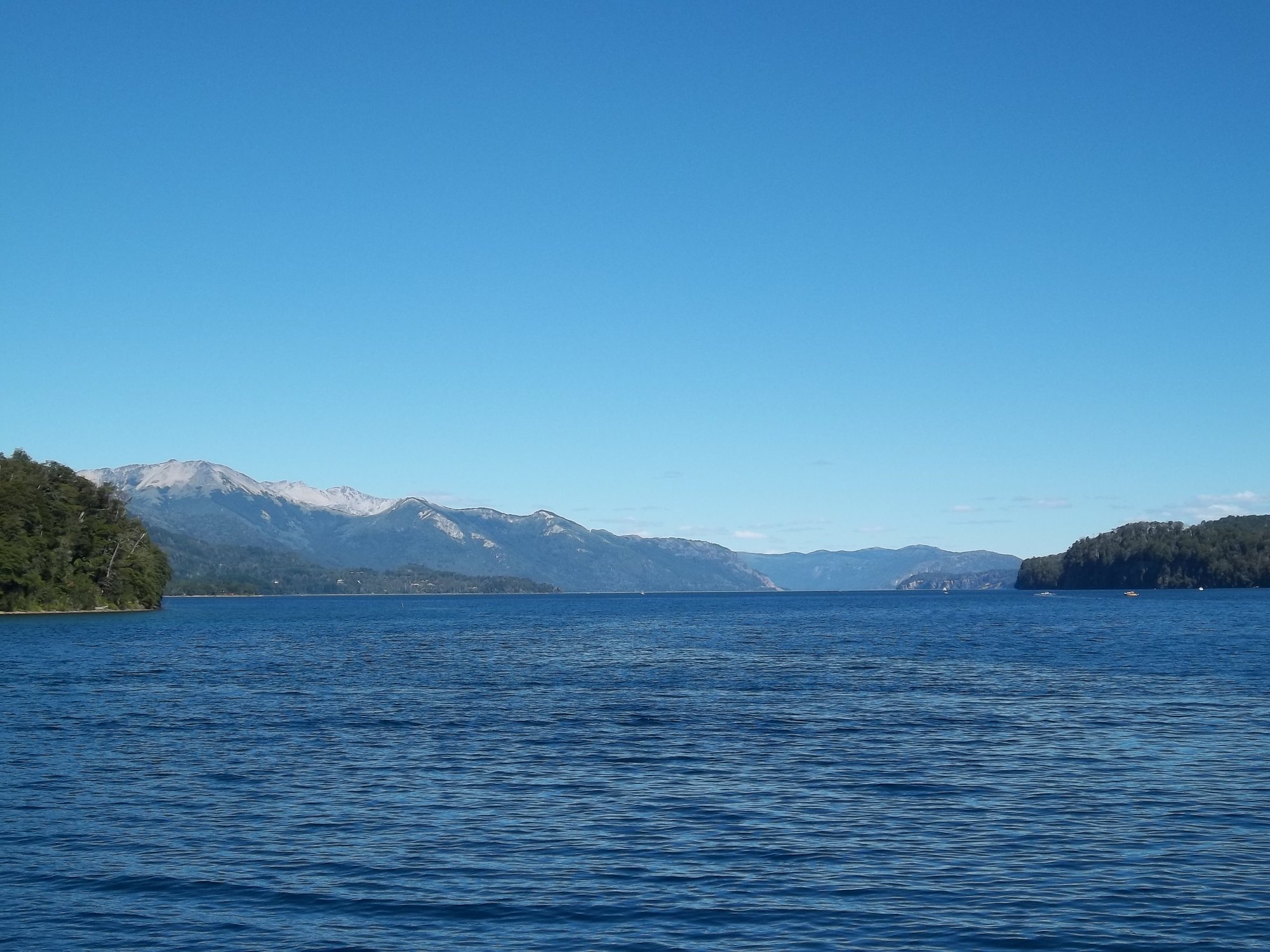
Lago Nahuel Huapi
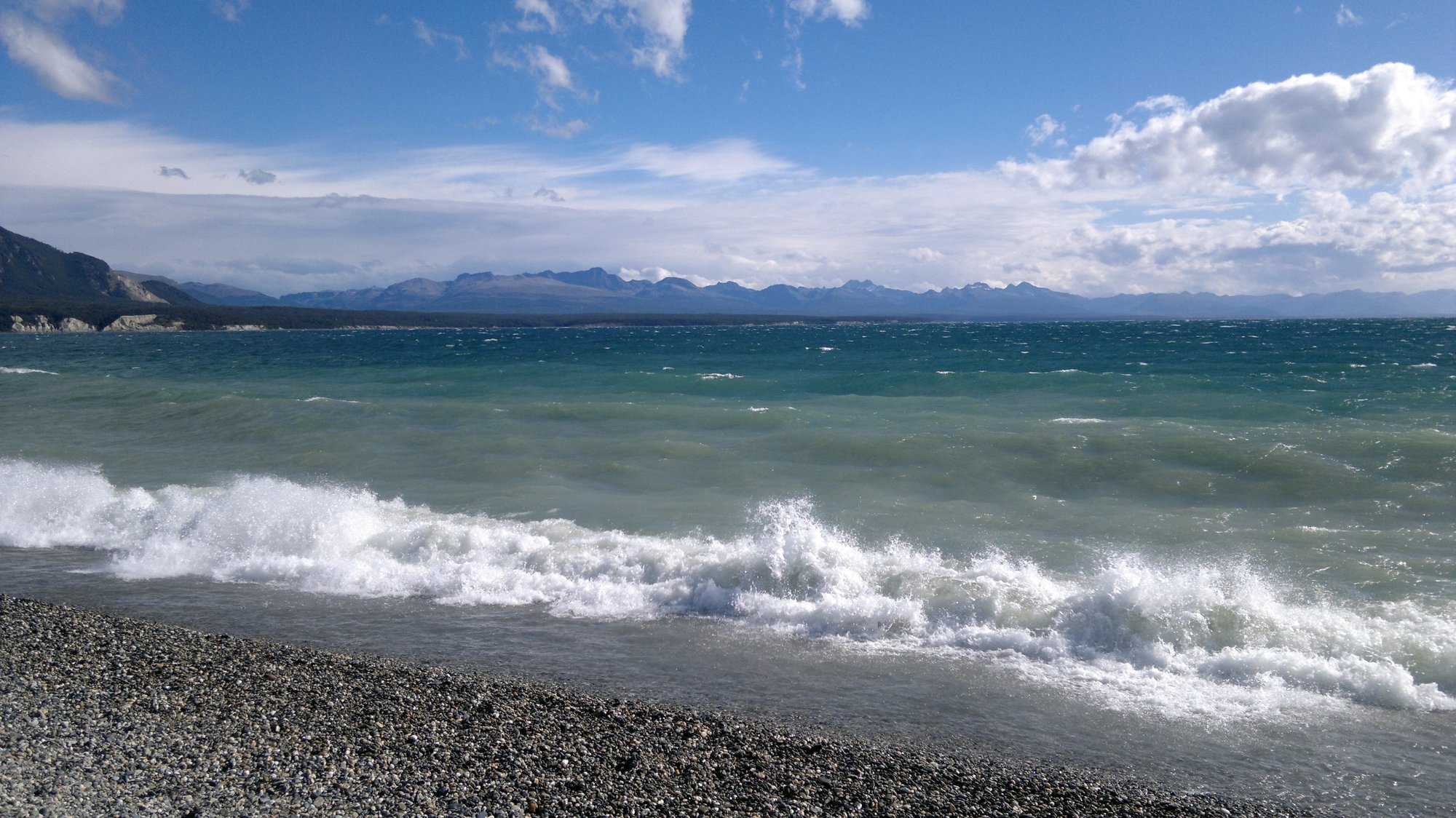
Lago Fagnano
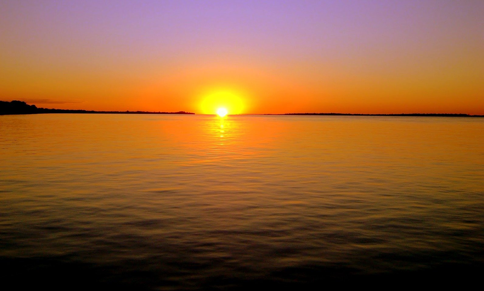
Río Paraná
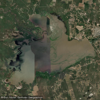
Embalse Río Hondo
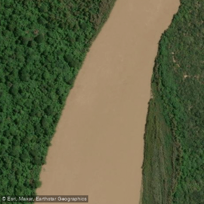
Río Bermejo
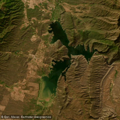
Embalse Cabra Corral
Explore Salta waters
Top paddling waters
No waters available right now.
Popular Cities
Loading popular cities...
Explore near Río Salado

Smarter Paddling Starts in the App.
Paddleways gives you everything you need to plan smarter, paddle better, and own every trip from first launch to takeout.