Lago Frías
Lago Frías
- Boat Ramps
- 0
- Access Points
- 0
- Campsites
- 1
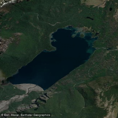
Lago Frías is a glacial lake located within Nahuel Huapi National Park in the province of Río Negro, Argentina, in the Bariloche department, at approximately 41° South latitude. The lake has an elongated oval shape oriented north to south, with steep rock walls on both its eastern and western banks that are partially covered by vegetation and plunge directly into the water, giving the lake the visual character of a fjord. Its most striking feature is its emerald green color, produced by fine mineral particles carried by glacial meltwater originating from Cerro Tronador, the glacier-capped peak that forms the natural border between Argentina and Chile.
The surrounding landscape is dominated by the Selva Valdiviana, a temperate rainforest ecosystem found only in this corner of Argentina. The area receives approximately 3,500 mm of annual precipitation, with winter recording the highest rainfall. The humid winds blowing year-round from the Pacific Ocean sustain this dense, jungle-like vegetation. Paddlers should be prepared for wet and cold conditions in any season; waterproof gear, warm layers, and waterproof pants are strongly recommended. Summer mornings are generally considered the best time to experience the lake's emerald hues.
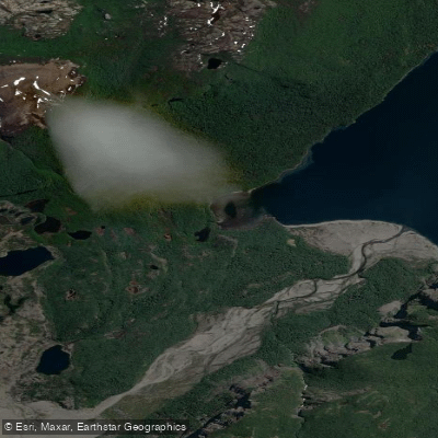
Access to Lago Frías is not straightforward. The primary route involves sailing across Lago Nahuel Huapi to Puerto Blest, approximately 25 km from Puerto Pañuelo near San Carlos de Bariloche. An alternative approach comes from the Chilean side via the Paso Pérez Rosales border crossing. There is no road access; all logistics depend on boat transport, and tickets and excursions should be booked well in advance. Puerto Blest serves as the main staging area, and guided kayaking trips depart from there. One route involves trekking through the Frías Valley along the Río Frías — whose turquoise and brown glacial-milk coloring contrasts with the lake's green — before reaching the lake itself.
The only habitable facility in the immediate area is the Puerto Blest Hotel, which sits within the Selva Valdiviana surrounded by Cerro Tronador and Cerro Tres Hermanos. The remoteness of the location means paddlers should plan self-sufficiency carefully, as services are extremely limited beyond what the hotel provides.
Water access, boat ramps & amenities
Learn how to get on Lago Frías. Uncover great paddling access points, boat ramps, and all the facilities you need for an unforgettable day on the water. Some locations shown may border or include private property. Always check property boundaries and applicable regulations before visiting. PaddleWays's Public & Private Land layer can help you plan your access with confidence.
Paddle smarter with real-time insights
Whether you're en route and conditions shift or you're looking for the best spot based on current flows, we enable you to make informed decisions on the fly.







Santa Cruz licenses and regulations

Find Places to Paddle

Over 400,000 Places to Paddle
Every user gets free access to launch points, boat ramps, and public property parcels.


Water and weather conditions (10 day forecast)
See the best times to paddle Lago Frías and check the forecast before you go.
No forecast data available.
Paddling near Lago Frías
Lago Argentino
Río Santa Cruz
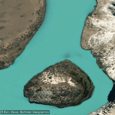
Río La Leona
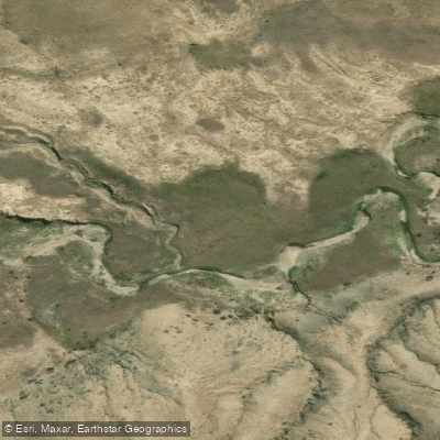
Arroyo El Turbio
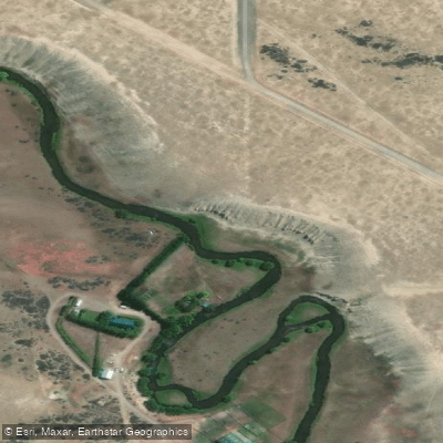
Río Vizcachas
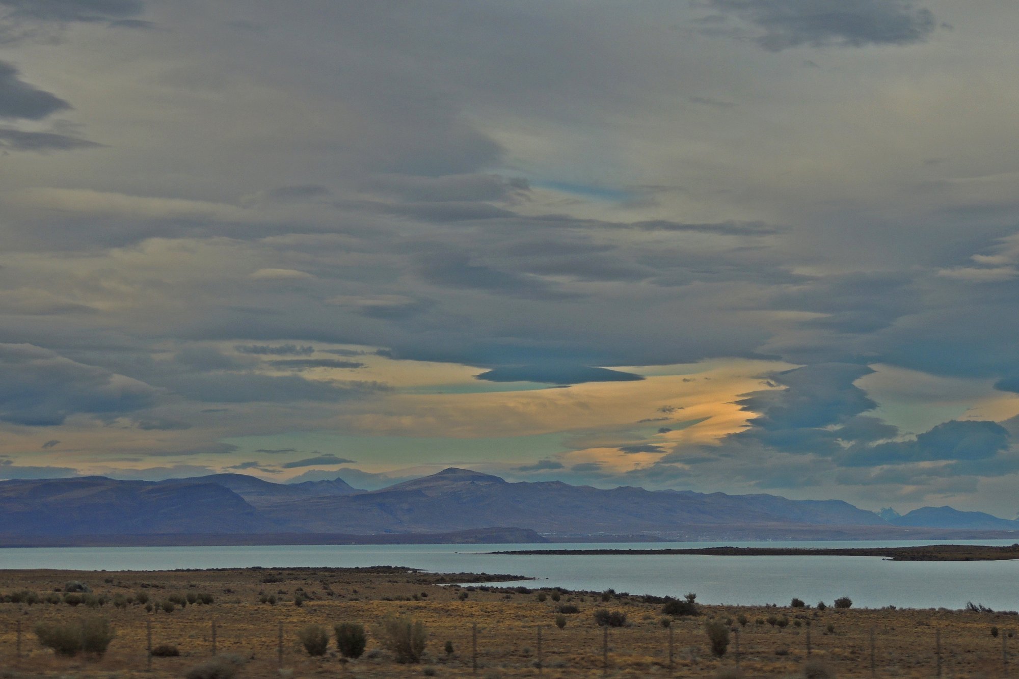
Lago Viedma
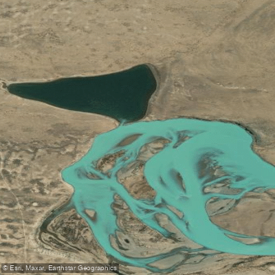
Laguna Grande
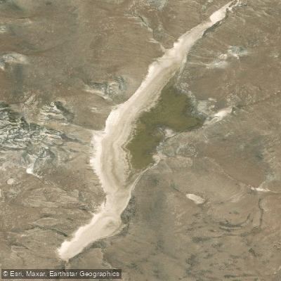
Laguna Larga
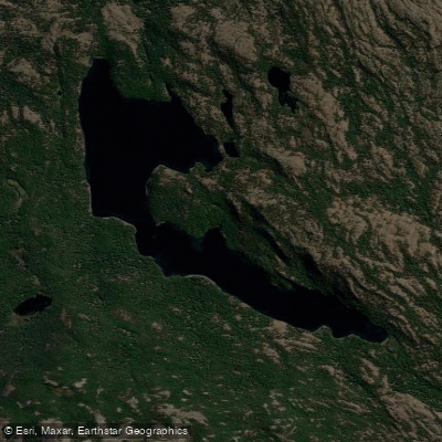
Laguna Larga
Explore Santa Cruz waters
Top paddling waters
No waters available right now.
Popular Cities
Loading popular cities...
Explore near Lago Frías
Access points
Nearby waters
More in Santa Cruz

Smarter Paddling Starts in the App.
Paddleways gives you everything you need to plan smarter, paddle better, and own every trip from first launch to takeout.