Laguna Larga
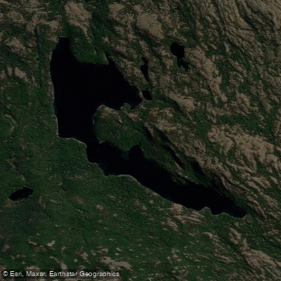
Laguna Larga
- Boat Ramps
- 0
- Access Points
- 0
- Campsites
- 0
Laguna Larga is a hidden lagoon located in the Patagonian region of Santa Cruz, Argentina, near the town of El Chaltén. It is situated within the Lago del Desierto area, skirting the border with Chile. The primary access for paddlers is via a boat service that crosses Lago del Desierto from Punta Sur to Punta Norte, a journey of just under an hour. The trailhead for reaching the lagoon itself begins behind the National Gendarmerie Post at Punta Norte. The lagoon is characterized by its secluded setting within an overwhelming and silent Lenga forest, described as practically unexplored. The water body is fed by a small stream, which the hiking trail crosses via basic tree trunk bridges. The overall aesthetic is one of remote wilderness, with spectacular views of the full expanse of Lago del Desierto, the Fitz Roy massif from the north, and the surrounding Del Bosque and Vespignani mountain ranges with their hanging glaciers.
Paddling activities are offered in a different regional context by the Laguna Larga Lodge, which operates within Los Alerces National Park, far to the north in Chubut province. This lodge provides guided kayaking tours on the lakes of the park, including multi-day crossings, with all necessary equipment and certified guides. For fly-fishing paddlers visiting the lodge, the recommended gear includes rods for dry flies, nymphs, and streamers, with a fly box containing specific patterns and colors. Weather in that region is noted as unpredictable, with warm days (20-28°C) and cold nights (6-12°C), requiring paddlers to prepare with layered clothing, rain gear, and breathable waders. The dry climate necessitates lip balm and skin protection. Insect presence is noted for November, December, and early January.
Water access, boat ramps & amenities
Learn how to get on Laguna Larga. Uncover great paddling access points, boat ramps, and all the facilities you need for an unforgettable day on the water. Some locations shown may border or include private property. Always check property boundaries and applicable regulations before visiting. PaddleWays's Public & Private Land layer can help you plan your access with confidence.
Paddle smarter with real-time insights
Whether you're en route and conditions shift or you're looking for the best spot based on current flows, we enable you to make informed decisions on the fly.







Santa Cruz licenses and regulations

Find Places to Paddle

Over 400,000 Places to Paddle
Every user gets free access to launch points, boat ramps, and public property parcels.


Water and weather conditions (10 day forecast)
See the best times to paddle Laguna Larga and check the forecast before you go.
No forecast data available.
Paddling near Laguna Larga
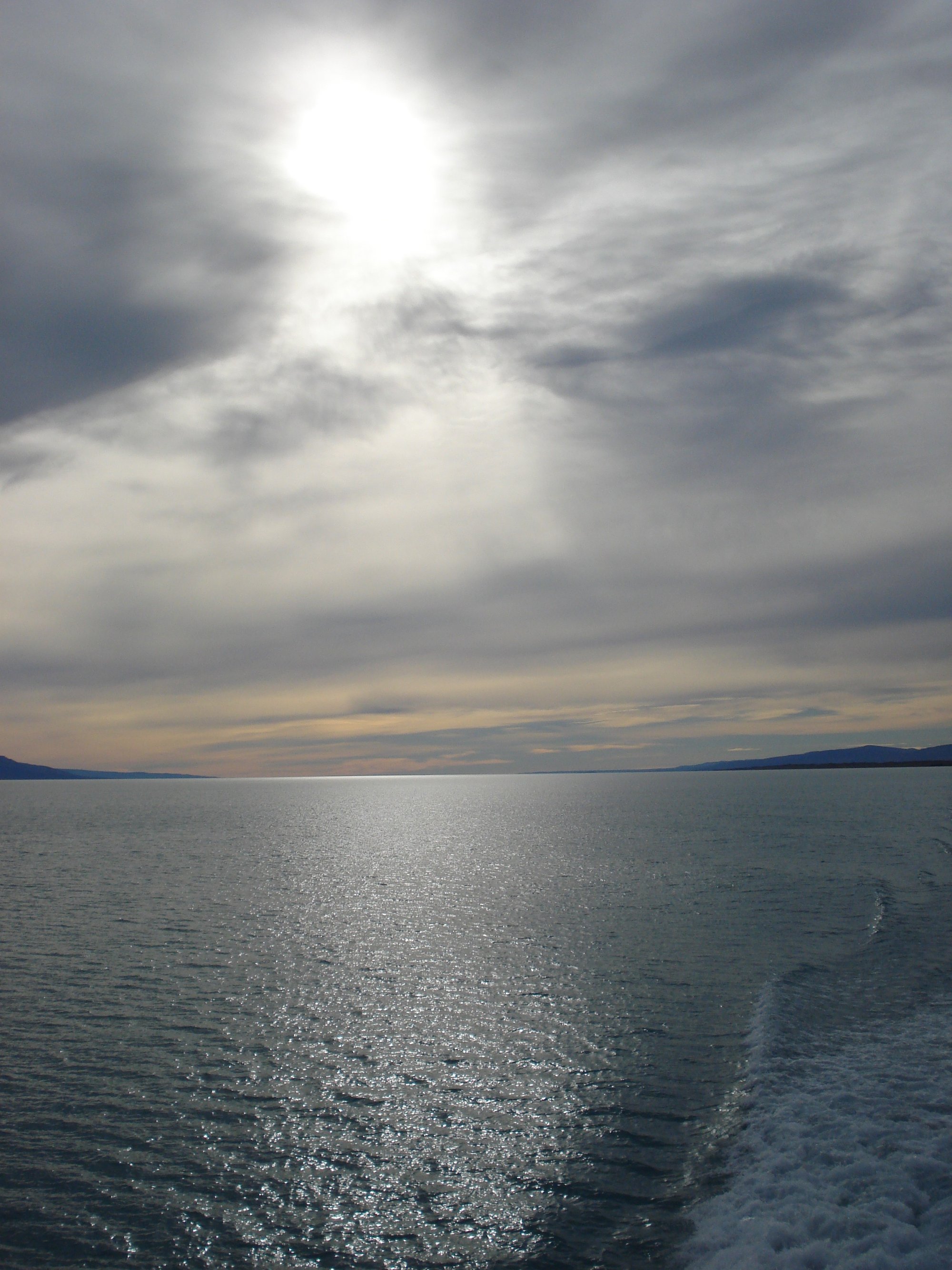
Lago Argentino
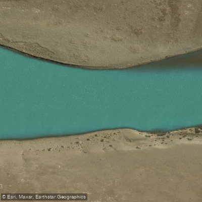
Río Santa Cruz
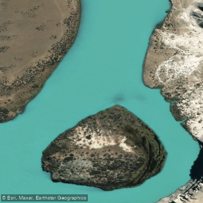
Río La Leona
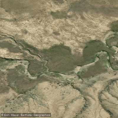
Arroyo El Turbio
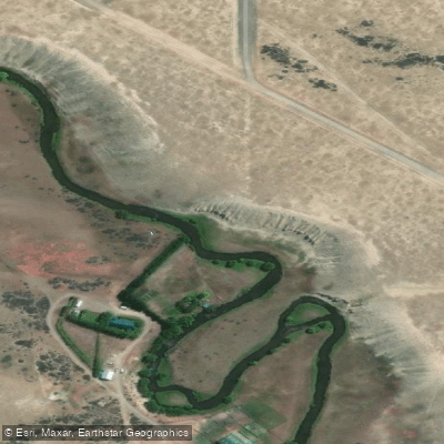
Río Vizcachas
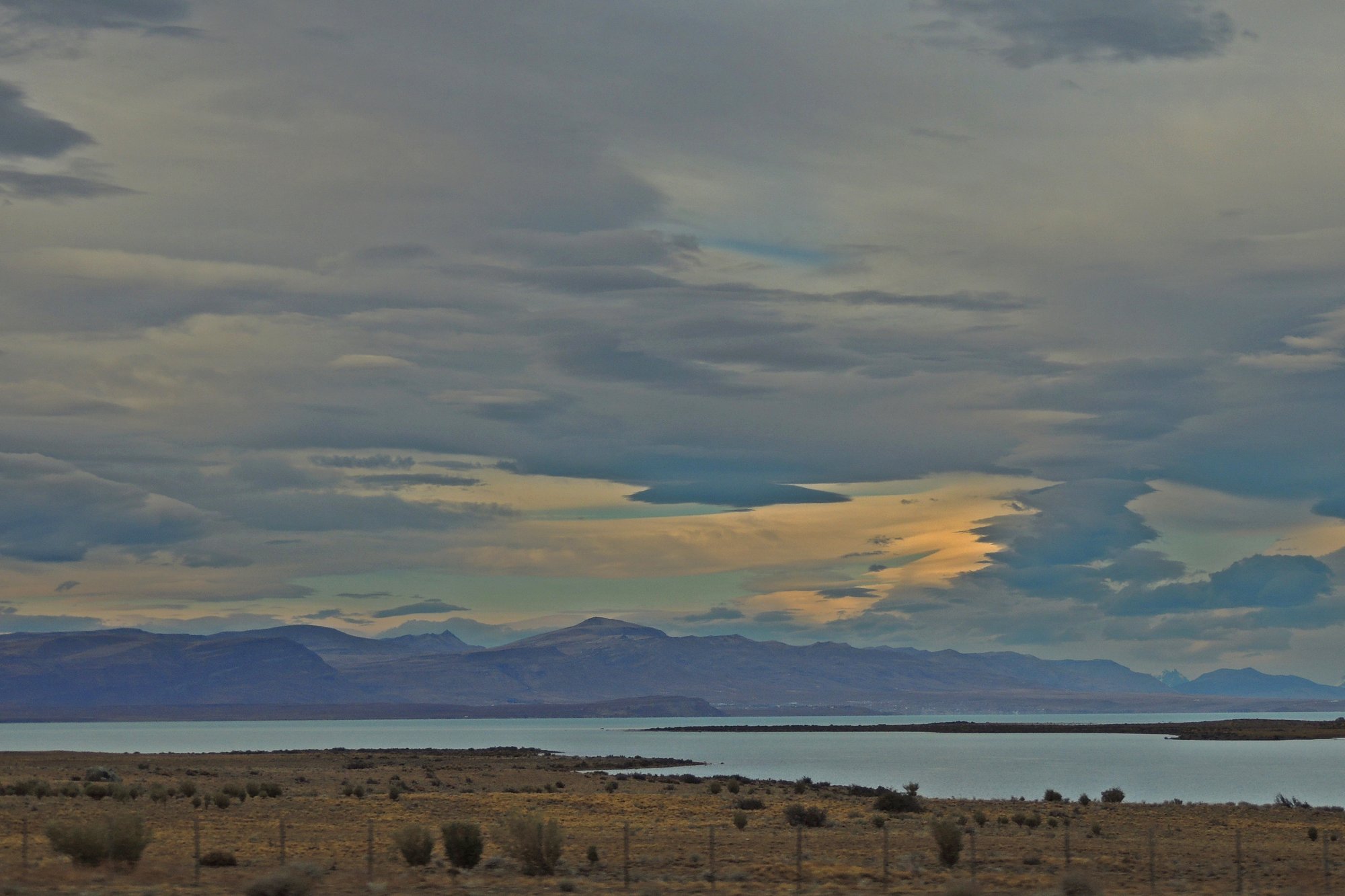
Lago Viedma
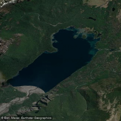
Lago Frías
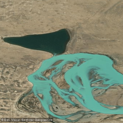
Laguna Grande
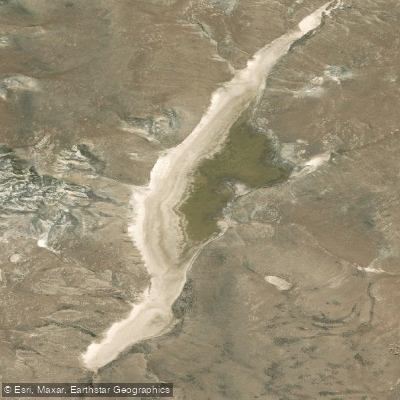
Laguna Larga
Explore Santa Cruz waters
Top paddling waters
No waters available right now.
Popular Cities
Loading popular cities...
Explore near Laguna Larga

Smarter Paddling Starts in the App.
Paddleways gives you everything you need to plan smarter, paddle better, and own every trip from first launch to takeout.