Río La Leona
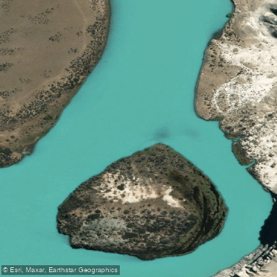
Río La Leona
- Boat Ramps
- 0
- Access Points
- 0
- Campsites
- 1
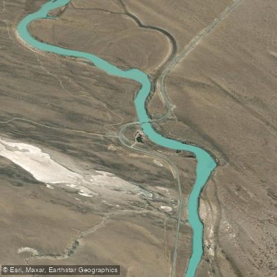
The Río La Leona is a river in the Patagonian province of Santa Cruz, Argentina, offering a popular full-day adventure combining kayaking and trekking. The primary access point for paddlers is via organized tours originating from the nearby tourist hub of El Calafate. These tours typically transport participants to a starting point on the river, with Estancia La Estela mentioned as a trailhead. The standard paddling route covers approximately 14 kilometers of the river, with one tour operator specifying the first kayaking leg is about 8 to 10 kilometers long, taking roughly one hour to one hour and fifteen minutes. The river is characterized by a mix of small rapids and calm stretches, providing an easy to moderate kayaking experience suitable for a range of skill levels. The water is glacial in origin, flowing through a landscape of plains and open skies, with views of features like Cerro Fortaleza near Estancia La Meseta. The river eventually flows into Lake Viedma. The overall experience is structured as a full-day excursion, with kayaking complemented by a guided hiking segment, often around 5 kilometers in length. This activity is strictly seasonal, operating only from October through April, aligning with the Patagonian summer and early autumn. No specific water temperature data, water quality issues, or paddling regulations are detailed, which focuses on commercial tour offerings. The river's aesthetic is defined by its remote Patagonian setting, framed by plains and dramatic skies.
Water access, boat ramps & amenities
Learn how to get on Río La Leona. Uncover great paddling access points, boat ramps, and all the facilities you need for an unforgettable day on the water. Some locations shown may border or include private property. Always check property boundaries and applicable regulations before visiting. PaddleWays's Public & Private Land layer can help you plan your access with confidence.
Paddle smarter with real-time insights
Whether you're en route and conditions shift or you're looking for the best spot based on current flows, we enable you to make informed decisions on the fly.







Santa Cruz licenses and regulations

Find Places to Paddle

Over 400,000 Places to Paddle
Every user gets free access to launch points, boat ramps, and public property parcels.


Water and weather conditions (10 day forecast)
See the best times to paddle Río La Leona and check the forecast before you go.
La Leona
Paddling near Río La Leona
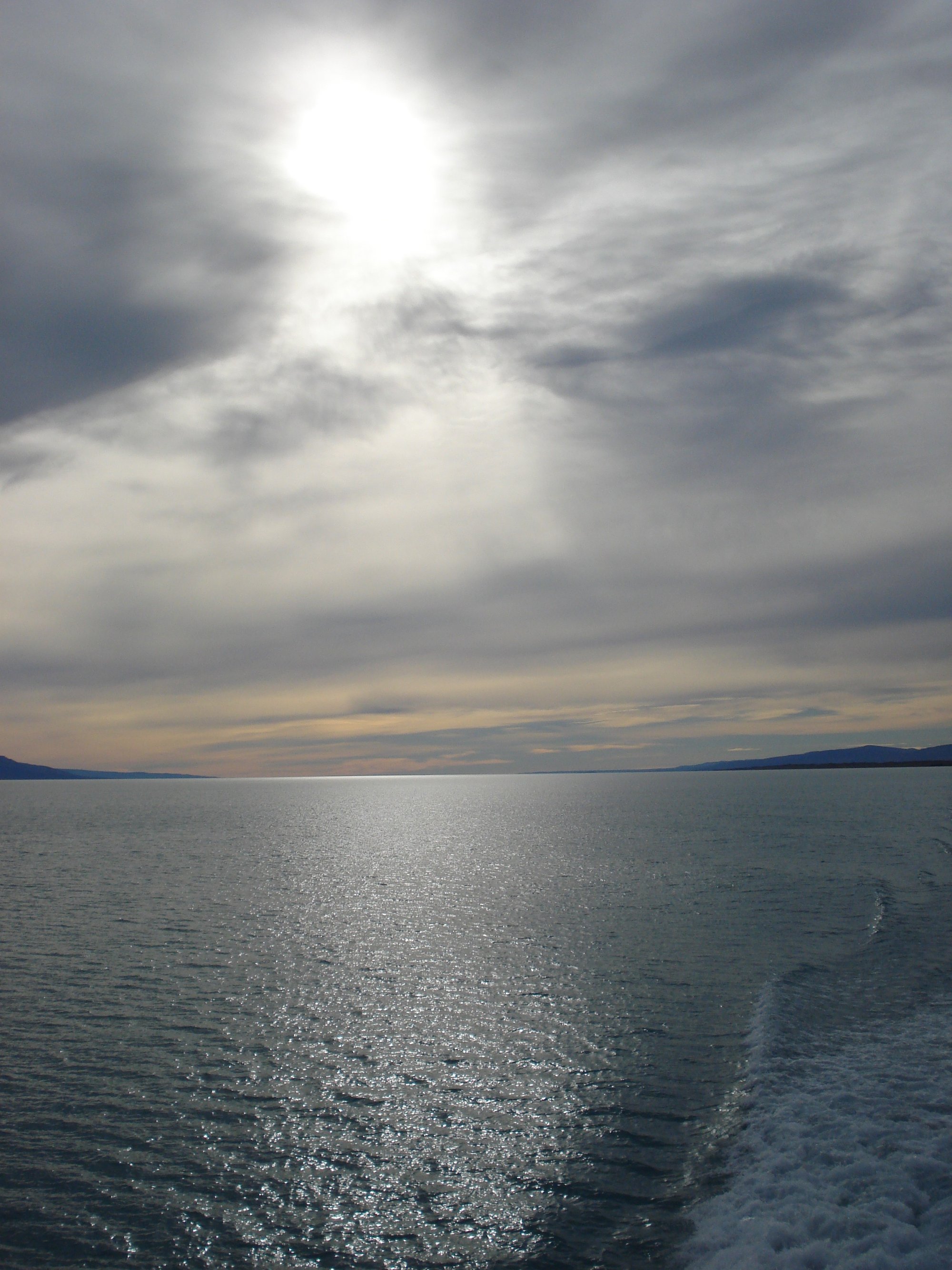
Lago Argentino
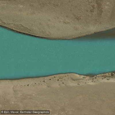
Río Santa Cruz
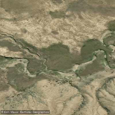
Arroyo El Turbio
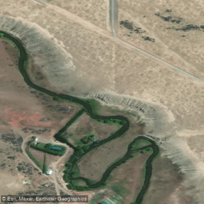
Río Vizcachas
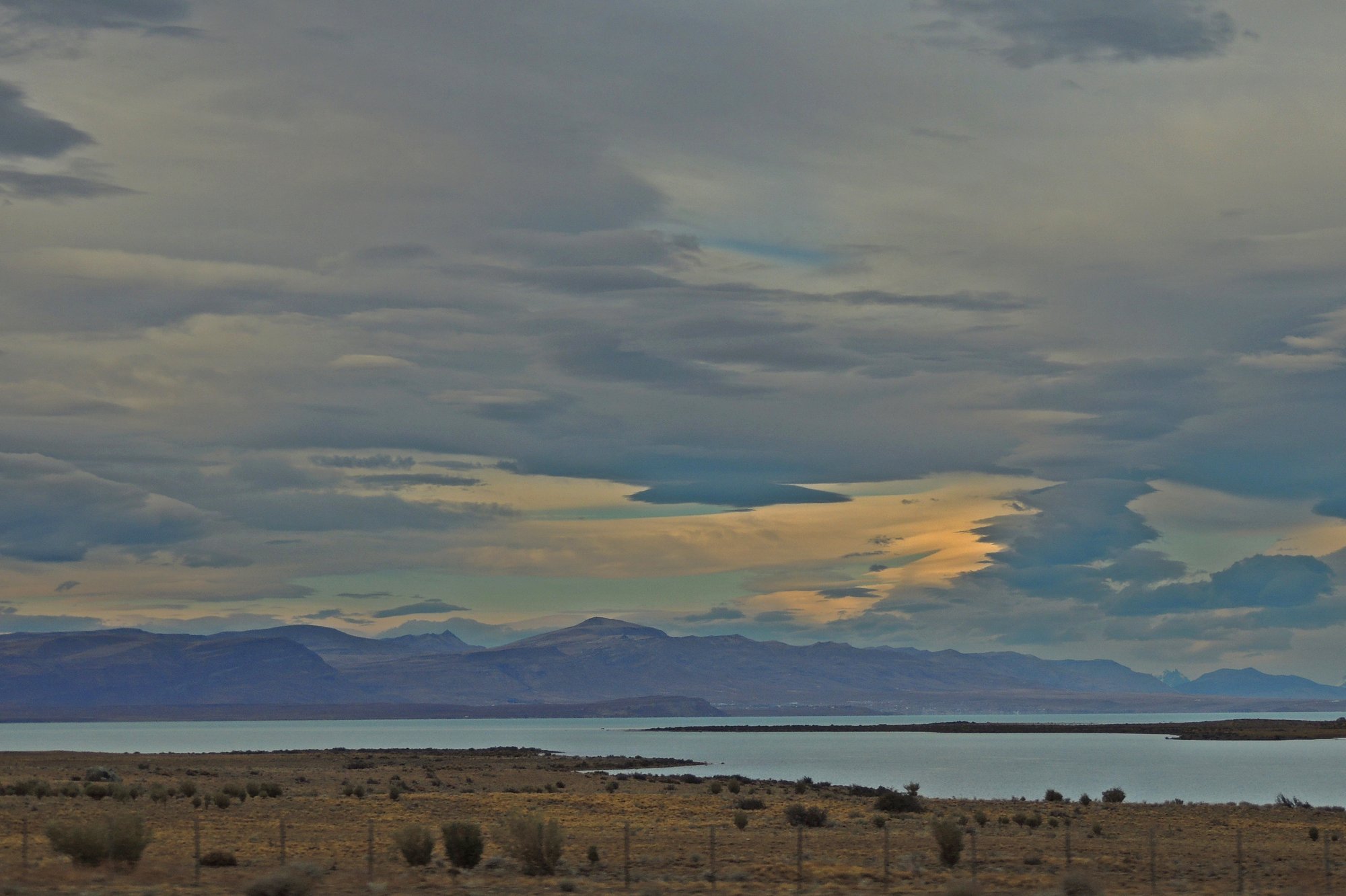
Lago Viedma
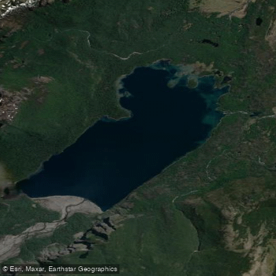
Lago Frías
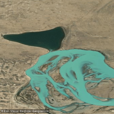
Laguna Grande
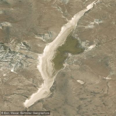
Laguna Larga
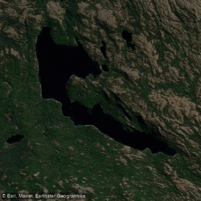
Laguna Larga
Explore Santa Cruz waters
Top paddling waters
No waters available right now.
Popular Cities
Loading popular cities...
Explore near Río La Leona
Access points
Nearby waters
More in Santa Cruz

Smarter Paddling Starts in the App.
Paddleways gives you everything you need to plan smarter, paddle better, and own every trip from first launch to takeout.