Bahía Golondrina
- Saltwater
- Bay
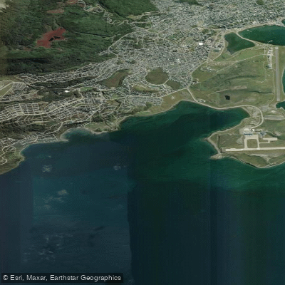
Bahía Golondrina
- Saltwater
- Bay
- Sq. miles
- 2.1
- Boat Ramps
- 0
- Access Points
- 0
- Campsites
- 0
Bahía Golondrina is a bay on the Beagle Channel, located near the city of Ushuaia in Tierra del Fuego, Argentina. It serves as a primary launch point for guided sea kayaking tours into the channel. These tours typically begin with a briefing and training session at the bay before paddlers set out. A common route heads west along the coast of the Beagle Channel, passing Redonda Island and Zaratiegui Cove, and concludes at Cauquenes Bay, which is near Ushuaia's hotels, providing a convenient take-out. Another described circuit borders the coast with arrival at Bahía Cucharita and a final stop at Bahía Cauquenes. The entire paddling experience is conducted on the open, saltwater Beagle Channel, which is subject to significant weather conditions; tours are explicitly dependent on weather and require an authorized guide. The activity is seasonal, with one operator offering trips from August 1st to May 1st.
The paddling offers views of Ushuaia's natural world, including flocks of birds. The area is near historical sites, including a small cemetery on a hill overlooking the bay where Thomas Bridges was buried in 1898. The overall character is that of an expedition into a more isolated and virgin area of the channel, with tours often lasting a full day and involving several hours of paddling. Physical fitness, the ability to swim, and a positive attitude are emphasized as requirements for participants. Guided tours provide all necessary gear, including sea kayaks, neoprene suits, spray skirts, and lifejackets, along with transportation, meals, and safety briefings.
Water access, boat ramps & amenities
Learn how to get on Bahía Golondrina. Uncover great paddling access points, boat ramps, and all the facilities you need for an unforgettable day on the water. Some locations shown may border or include private property. Always check property boundaries and applicable regulations before visiting. PaddleWays's Public & Private Land layer can help you plan your access with confidence.
Paddle smarter with real-time insights
Whether you're en route and conditions shift or you're looking for the best spot based on current flows, we enable you to make informed decisions on the fly.







Tierra Del Fuego licenses and regulations

Find Places to Paddle

Over 400,000 Places to Paddle
Every user gets free access to launch points, boat ramps, and public property parcels.


Tides, wind & water conditions (10 day forecast)
On open water, wind and tide matter as much as the weather. See the best times to paddle Bahía Golondrina and check the marine forecast before you launch.
Loading tide predictions…
Paddling near Bahía Golondrina
Río Pipo
Río Lasifashaj
Bahía de Ushuaia
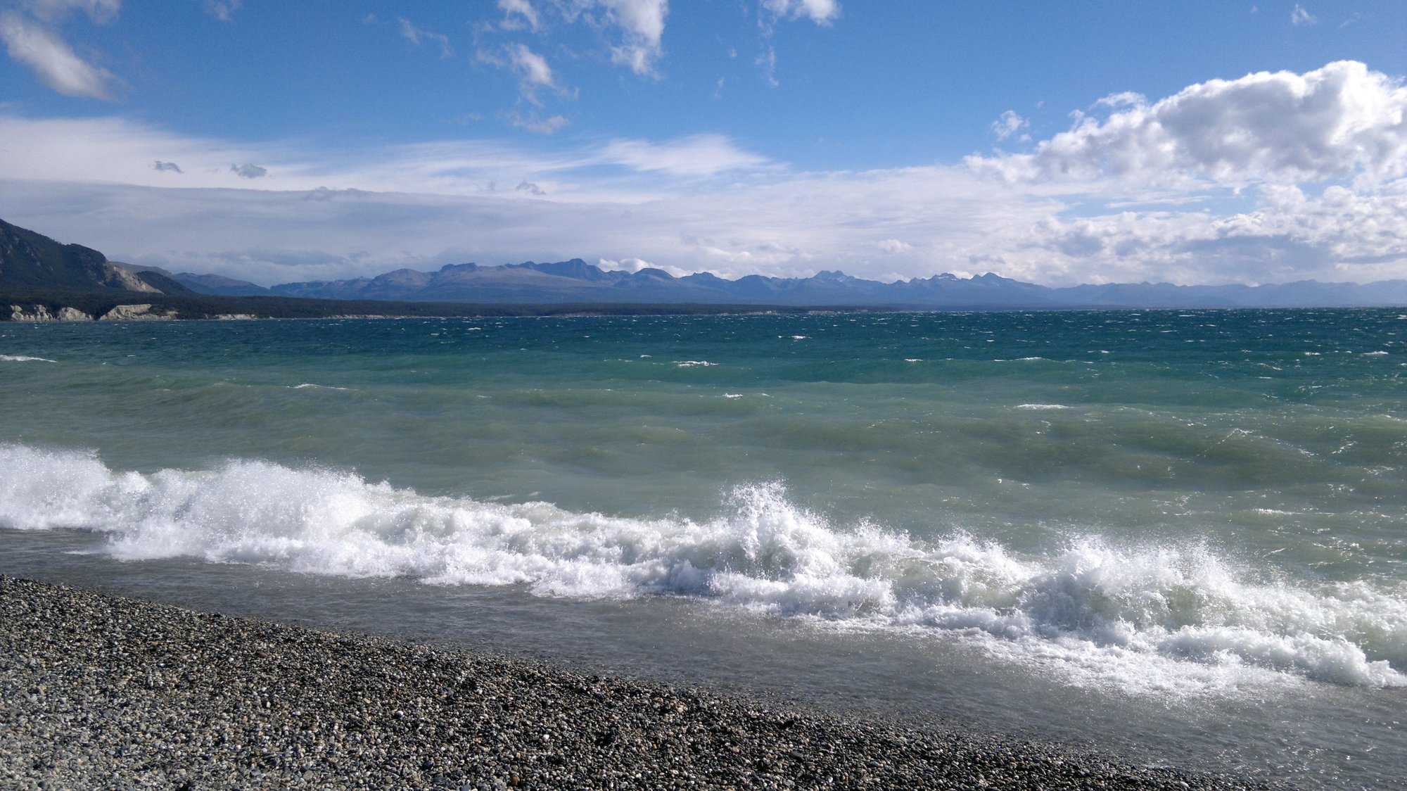
Lago Fagnano
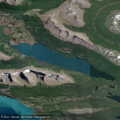
Lago Errázuriz / Lago Roca
Río Encajonado
Río Varela
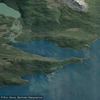
Bahía Lapataia
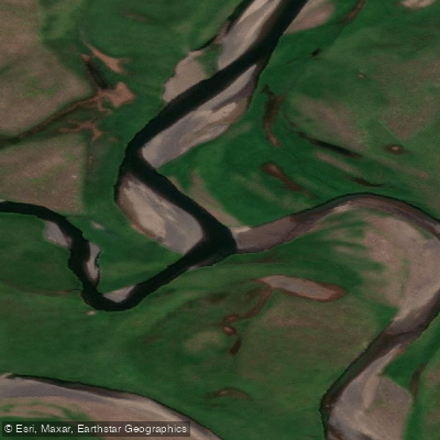
Río de las Turbas o Menéndez
Explore Tierra Del Fuego waters
Top paddling waters
No waters available right now.
Popular Cities
Loading popular cities...
Explore near Bahía Golondrina

Smarter Paddling Starts in the App.
Paddleways gives you everything you need to plan smarter, paddle better, and own every trip from first launch to takeout.