Berowra Creek
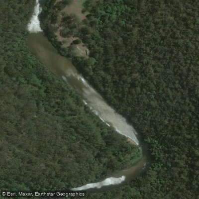
Berowra Creek
- Boat Ramps
- 0
- Access Points
- 0
- Campsites
- 4
Berowra Creek is a 22-kilometre tidal waterway in the Hornsby Shire of New South Wales, flowing generally north-northeast from its source near Pennant Hills to its confluence with the Hawkesbury River approximately 7 kilometres west of Brooklyn. It passes through the Berowra Valley Regional Park, Muogamarra Nature Reserve, and Marramarra National Park, with steep, largely undeveloped banks that are accessible only by boat along much of its length. The creek is part of the Hawkesbury-Nepean catchment and is tidal throughout its lower reaches.
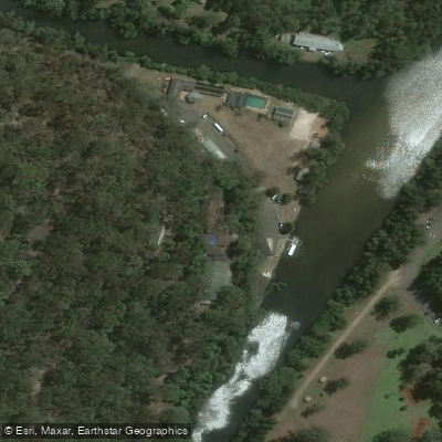
The primary launch point is the Dust Hole Boat Ramp at Berowra Waters Marina, which offers four lanes, free parking, and a café nearby. Kayak hire is available at the marina, with single kayaks available from around $30 for two hours and doubles from $50. A 24-hour car ferry crosses the creek at Berowra Waters, connecting Berowra Heights on the east bank to the marina on the west; paddlers arriving from the east will need to use this ferry.
From Berowra Waters, two main routes are available. Heading south toward Crosslands Reserve covers roughly 14 kilometres return. This direction is narrower and more sheltered, but tidal depth is a significant consideration — at low tide the creek becomes too shallow to paddle past a certain point, and paddlers risk getting stranded in mud as the tide falls. Paddling at high tide allows access all the way to Crosslands Reserve. Heading north toward Twin Beaches and the Hawkesbury River is a more open paddle with numerous inlets and bays to explore, including Calabash Bay, Deep Bay, and Half Moon Bay. The Twin Beaches campground is approximately 20 kilometres return from Berowra Waters, making it a suitable overnight destination.
Tidal flow is the primary safety consideration on Berowra Creek. Currents can be strong, particularly in the northward direction where the creek widens, and paddling against the tide is slow and energy-intensive. Planning around tidal cycles is essential for both directions. Muogamarra Nature Reserve, which borders part of the creek to the north of Half Moon Bay, is closed to the public for most of the year and only opens when its wildflowers are in bloom. The creek supports birdlife along its quieter southern reaches, and wildlife including stingrays and azure kingfishers has been observed on the water.
Water access, boat ramps & amenities
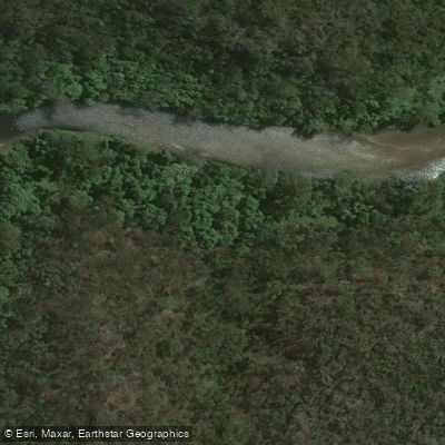
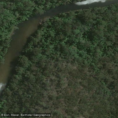
Learn how to get on Berowra Creek. Uncover great paddling access points, boat ramps, and all the facilities you need for an unforgettable day on the water. Some locations shown may border or include private property. Always check property boundaries and applicable regulations before visiting. PaddleWays's Public & Private Land layer can help you plan your access with confidence.
Paddle smarter with real-time insights
Whether you're en route and conditions shift or you're looking for the best spot based on current flows, we enable you to make informed decisions on the fly.








Find Places to Paddle

Over 400,000 Places to Paddle
Every user gets free access to launch points, boat ramps, and public property parcels.


Water and weather conditions (10 day forecast)
See the best times to paddle Berowra Creek and check the forecast before you go.
No forecast data available.
Paddling near Berowra Creek
Sydney
Parramatta River
Port Jackson
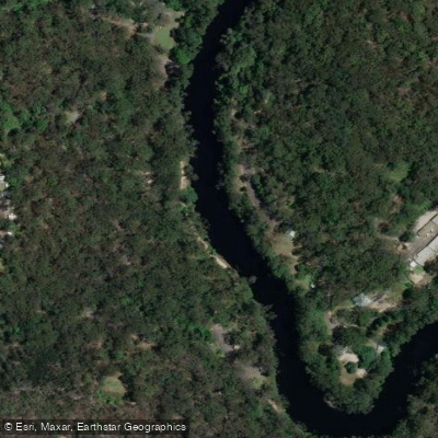
Lane Cove River
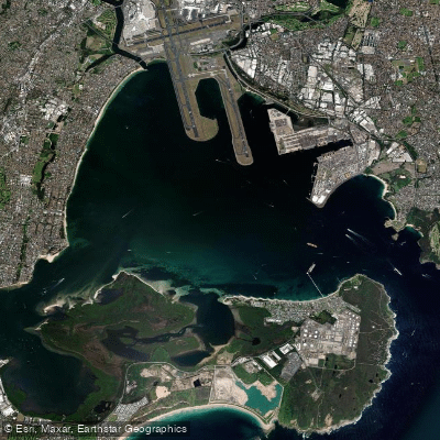
Botany
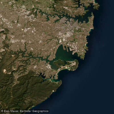
Botany Bay
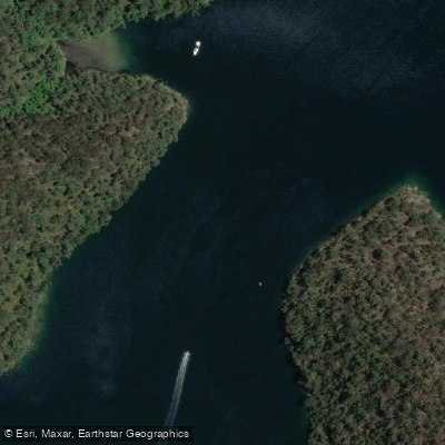
Cowan Creek

Georges River
Bate Bay
Woronora River
Explore New South Wales waters
Top paddling waters
No waters available right now.
Popular Cities
Loading popular cities...
Explore near Berowra Creek

Smarter Paddling Starts in the App.
Paddleways gives you everything you need to plan smarter, paddle better, and own every trip from first launch to takeout.