Broughton Creek
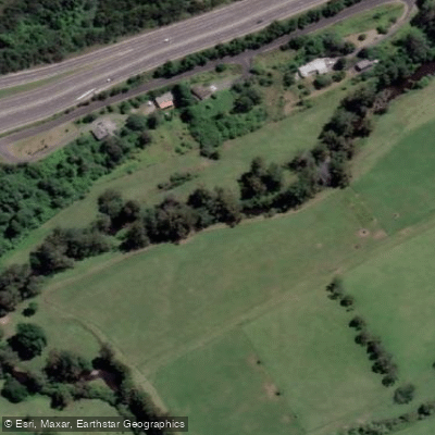
Broughton Creek
- Boat Ramps
- 2
- Access Points
- 0
- Campsites
- 0
Broughton Creek is a tidal creek in the Shoalhaven region of New South Wales, flowing through rural farmland near the town of Berry before joining the Shoalhaven River. The creek offers a relatively flat, calm paddling experience suited to a range of skill levels, with long reed beds lining the banks and views across adjacent agricultural land to distant mountains. The overall character is quiet and pastoral, with dragonflies common along the water's edge.
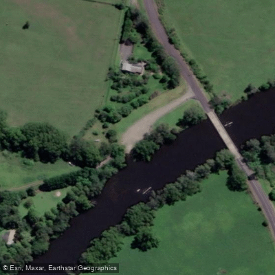
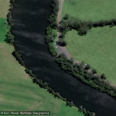
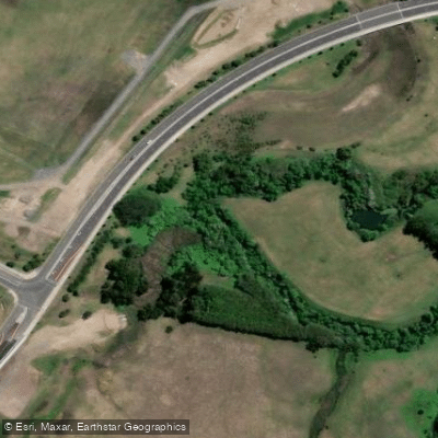
There are two main access points for paddlers. The first is off Wharf Road near Berry, which provides entry for paddling up and down the creek. The second is off Backforest Road near Far Meadow, approximately one kilometre from the creek's junction with the Shoalhaven River. The Backforest Road site features a basic gravel boat ramp with a grass parking area and a small fish-cleaning basin. There are no shops or other facilities within walking distance of this ramp, though mobile phone coverage is available. Road access to both sites is sealed.
From the Backforest Road ramp, paddlers can head upstream into the creek or downstream to reach the Shoalhaven River, making it a useful launching point for those wanting to connect to the broader river system. The creek's junction with the Shoalhaven opens up options for multi-day trips exploring the surrounding bush, with wildlife including wallabies, kangaroos, wombats, kingfishers, and sea eagles reported in the area.
The full length of Broughton Creek as a day paddle is listed at approximately 30 kilometres return, with an estimated duration of six to seven hours. Paddlers finishing near Berry have convenient access to the town's food and hospitality options. The Backforest Road access point is described as a rural setting with free public land tenure and a public boat ramp, making it accessible without fees or permits.
Water access, boat ramps & amenities
Learn how to get on Broughton Creek. Uncover great paddling access points, boat ramps, and all the facilities you need for an unforgettable day on the water. Some locations shown may border or include private property. Always check property boundaries and applicable regulations before visiting. PaddleWays's Public & Private Land layer can help you plan your access with confidence.
Paddle smarter with real-time insights
Whether you're en route and conditions shift or you're looking for the best spot based on current flows, we enable you to make informed decisions on the fly.








Find Places to Paddle

Over 400,000 Places to Paddle
Every user gets free access to launch points, boat ramps, and public property parcels.


Water and weather conditions (10 day forecast)
See the best times to paddle Broughton Creek and check the forecast before you go.
No forecast data available.
Paddling near Broughton Creek
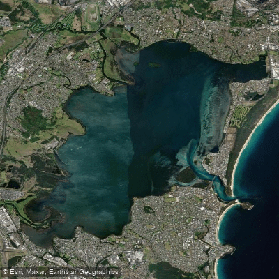
Lake Illawarra
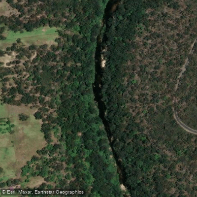
Georges River
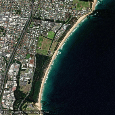
Towradgi Beach
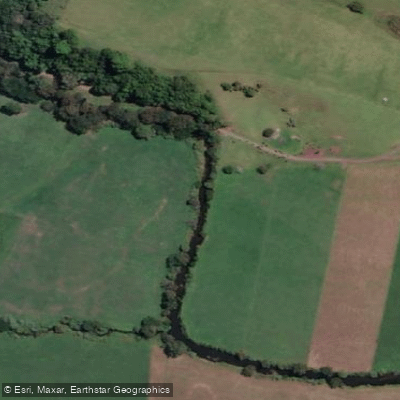
Minnamurra River
Hacking River
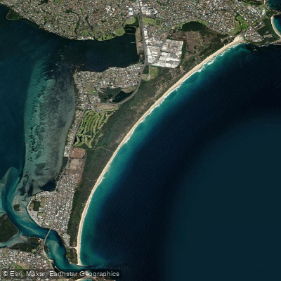
Perkins Beach
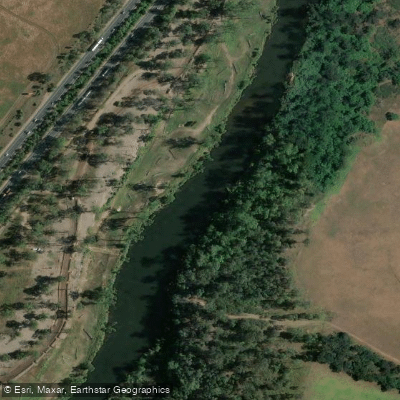
Nepean River
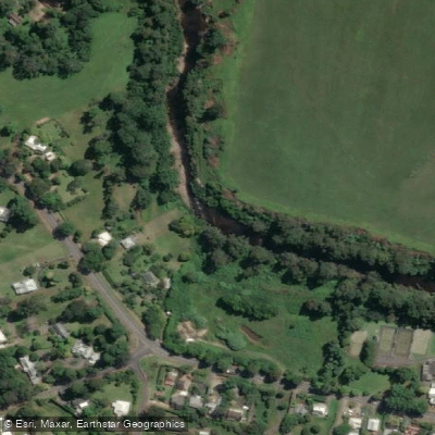
Kangaroo River
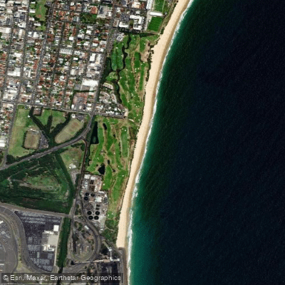
Coniston Beach
Mullet Creek
Explore New South Wales waters
Top paddling waters
No waters available right now.
Popular Cities
Loading popular cities...
Explore near Broughton Creek

Smarter Paddling Starts in the App.
Paddleways gives you everything you need to plan smarter, paddle better, and own every trip from first launch to takeout.