Brunswick River
Brunswick River
- Boat Ramps
- 3
- Access Points
- 2
- Campsites
- 4
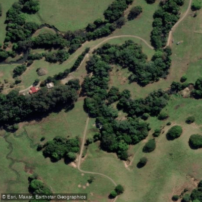
The Brunswick River flows through the Northern Rivers region of New South Wales, approximately 15 kilometres north of Byron Bay, emptying into the sea at the town of Brunswick Heads. The river is tidal in its lower and middle reaches, and paddlers who time their trips with the tides can significantly reduce the effort required. The main paddling corridor runs roughly east–west, with the town of Mullumbimby sitting upstream to the west.
A popular launch point is Memorial Beach Park in Brunswick Heads, from which paddlers can head either east toward the river mouth and Torakina Beach, or west into the river's upper reaches. The main river trip can be structured as a 10-kilometre one-way journey or a 20-kilometre return. A key navigational note: where King's Creek meets the river at roughly the halfway point to Mullumbimby, paddlers should keep right to stay on the main channel. The Pacific Highway bridge crosses the river to the west of town, and just beyond it lies Mangrove Island — deeper water runs to the left, though kayaks can typically pass on either side.
Simpson's Creek, accessed by turning right shortly after launching from Memorial Beach Park, offers a distinct side trip through mangrove environments. After a wooden footbridge, the creek opens into tidal mangrove habitat with clear water and visible marine life. Around the 5-kilometre mark, the water takes on a dark brown colour from tannins leaching out of surrounding Tea Tree (Melaleuca) forests. A small mangrove island appears before the creek widens into a shallow area.
Wildlife along the river and its creeks is varied and frequently encountered. Pelicans, striated herons, sacred kingfishers, white-bellied sea eagles, and lewins honeyeaters have all been observed. Turtles and stingrays are also present in the lower reaches. Views of Mt Chincogan and the Nightcap National Park Range are visible from several points along the main river.
Motorised boat traffic is a notable consideration, particularly on weekends when the Brunswick Heads Harbour boat ramp sees heavy use. Boat wash is most pronounced in the lower reaches between the harbour and the river mouth. Most land along the main arm of the river is privately owned, and paddlers are encouraged to observe customary access protocols when approaching the banks.
Water access, boat ramps & amenities
Learn how to get on Brunswick River. Uncover great paddling access points, boat ramps, and all the facilities you need for an unforgettable day on the water. Some locations shown may border or include private property. Always check property boundaries and applicable regulations before visiting. PaddleWays's Public & Private Land layer can help you plan your access with confidence.
Paddle smarter with real-time insights
Whether you're en route and conditions shift or you're looking for the best spot based on current flows, we enable you to make informed decisions on the fly.








Find Places to Paddle

Over 400,000 Places to Paddle
Every user gets free access to launch points, boat ramps, and public property parcels.


Water and weather conditions (10 day forecast)
See the best times to paddle Brunswick River and check the forecast before you go.
Brunswick River At Durrumbul (Sherrys Crossing)
All Flow Stations
Paddling near Brunswick River
Nerang River
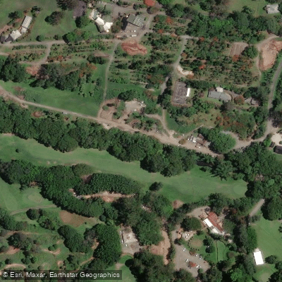
Mudgeeraba Creek
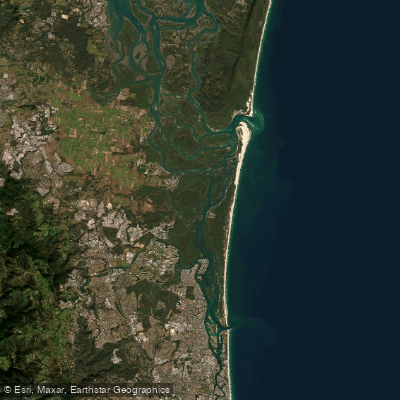
Southern Moreton Bay
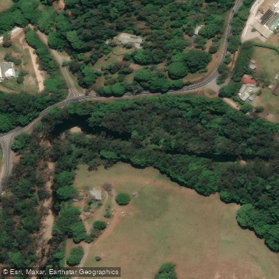
Tallebudgera Creek
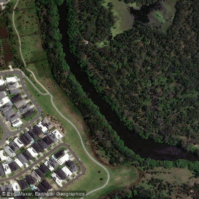
Coombabah Creek

Moreton Bay
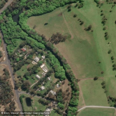
Coomera River
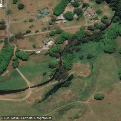
Currumbin Creek
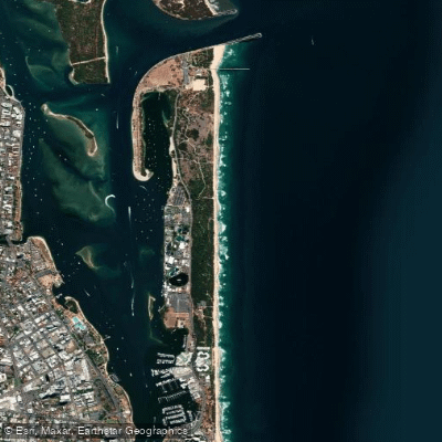
The Spit Beach
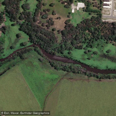
Pimpama River
Explore New South Wales waters
Top paddling waters
No waters available right now.
Popular Cities
Loading popular cities...
Explore near Brunswick River
Access points
Nearby waters
More in New South Wales

Smarter Paddling Starts in the App.
Paddleways gives you everything you need to plan smarter, paddle better, and own every trip from first launch to takeout.