Coal and Candle Creek
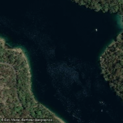
Coal and Candle Creek
- Boat Ramps
- 0
- Access Points
- 1
- Campsites
- 0
Coal and Candle Creek is a tributary of the Cowan Creek system north of Sydney, New South Wales, terminating at Akuna Bay. The creek sits within the Ku-Ring-Gai Chase National Park area, roughly 35 minutes' drive from central Sydney, and forms part of a broader paddling network that includes Cowan Creek and Refuge Bay.
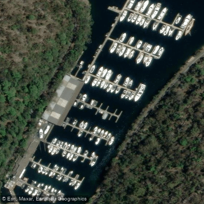
The creek is commonly paddled as part of a longer route taking in Refuge Bay and Cowan Creek, with the full circuit running approximately 20 kilometres return and typically taking around five hours. Access to the area is available via the boat ramp at Akuna Bay or the Apple Tree Bay ramp at Bobbin Head. Akuna Bay, situated at the end of Coal and Candle Creek, operates as a 4-knot zone, so paddlers sharing the water with motorised vessels should be aware of this restriction and the associated boat traffic.
The broader Cowan Creek system is noted for clear waters and numerous bays and beaches. Refuge Bay is a frequently cited destination within the network, offering a waterfall and a sheltered beach. Cottage Rock is a lesser-visited alternative with a spring-fed waterspout and a beach accessible at low tide. Hallets Beach is another popular stopping point, though goannas are known to investigate unattended food.
In winter, Coal and Candle Creek is a recognised fishing location for hairtail, which attracts boat traffic to the area during that season. Paddlers planning winter trips should factor in the possibility of cold temperatures and increased fishing activity on the water.
Facilities in the area include public moorings across various bays, and two marinas — d'Albora Marinas at Akuna Bay and Empire Marina at Bobbin Head — providing amenities for those on the water.
Water access, boat ramps & amenities
Learn how to get on Coal and Candle Creek. Uncover great paddling access points, boat ramps, and all the facilities you need for an unforgettable day on the water. Some locations shown may border or include private property. Always check property boundaries and applicable regulations before visiting. PaddleWays's Public & Private Land layer can help you plan your access with confidence.
Paddle smarter with real-time insights
Whether you're en route and conditions shift or you're looking for the best spot based on current flows, we enable you to make informed decisions on the fly.








Find Places to Paddle

Over 400,000 Places to Paddle
Every user gets free access to launch points, boat ramps, and public property parcels.


Water and weather conditions (10 day forecast)
See the best times to paddle Coal and Candle Creek and check the forecast before you go.
No forecast data available.
Paddling near Coal and Candle Creek
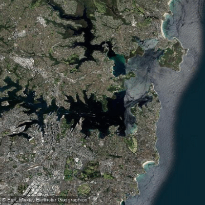
Sydney
Parramatta River
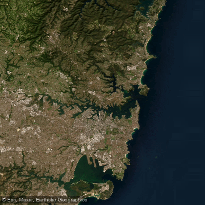
Port Jackson
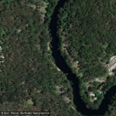
Lane Cove River
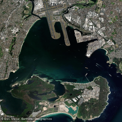
Botany
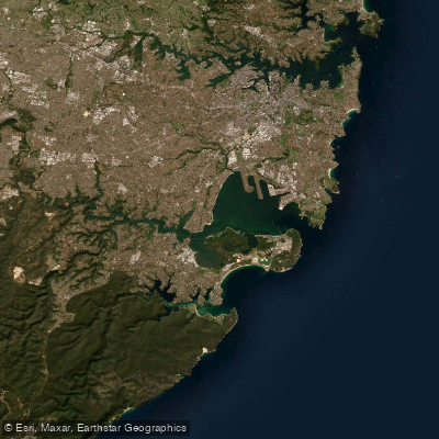
Botany Bay
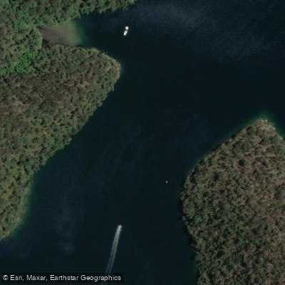
Cowan Creek

Georges River
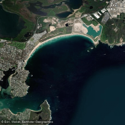
Bate Bay
Woronora River
Explore New South Wales waters
Top paddling waters
No waters available right now.
Popular Cities
Loading popular cities...
Explore near Coal and Candle Creek
Access points
Nearby waters
More in New South Wales

Smarter Paddling Starts in the App.
Paddleways gives you everything you need to plan smarter, paddle better, and own every trip from first launch to takeout.