Conjola Creek
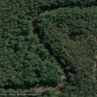
Conjola Creek
- Boat Ramps
- 2
- Access Points
- 0
- Campsites
- 0
Conjola Creek connects Lake Conjola to the small settlement of Fishermans Paradise in New South Wales, offering paddlers a route that moves from open lake water into a more intimate creek environment. The creek is most commonly paddled as part of a broader Lake Conjola circuit, with the full route covering roughly 12–14 km return and taking approximately 3–4 hours.
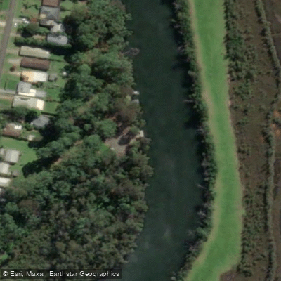
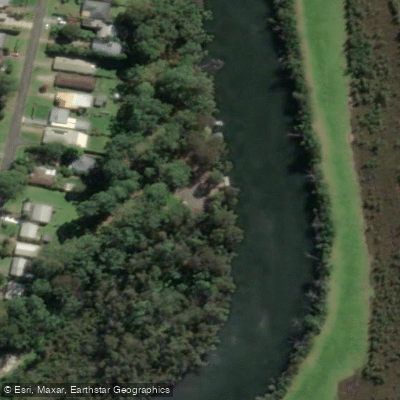
Access to the creek can be made from Conjola Park via Valley Drive, or from the Fishermans Paradise end via Anglers Parade, where paddlers can put in and head downstream into Lake Conjola. The Conjola Beach boat ramp serves as another practical starting point for those combining the creek with a lake crossing. Fishermans Paradise has a concrete boat ramp that is considered kayak-unfriendly, though the area does offer barbecues, toilets, and waste bins. A notable feature along the route is Cows Crossing, a point on Conjola Creek that has been photographed and referenced in local paddling guides.
Tidal planning is important on this waterway. Launching on the latter part of the flood tide provides current assistance and ensures adequate depth through the shallower sections. Paddlers are advised to avoid the peak ebb flow, which can run strongly toward the ocean entrance. While the main channels are deep, shallow areas exist throughout the lake and creek system, and navigation markers are present. Carrying a map is recommended to avoid these shallows.
One significant water quality concern is the presence of Caulerpa taxifolia, an invasive macroalga that has established itself in Lake Conjola and the connected waterways. Paddlers are strongly advised to wash all gear thoroughly after paddling here to avoid spreading this species to other waterways.
The waterway is popular with boaters and anglers, particularly during holiday periods, and paddlers may find it safer to travel just outside the marked channels during busy times. The lake's connection to the ocean keeps the water notably clear. Birdlife is present along the shoreline, and the route passes through a mix of open water and more sheltered creek sections with rural scenery visible from the water.
Water access, boat ramps & amenities
Learn how to get on Conjola Creek. Uncover great paddling access points, boat ramps, and all the facilities you need for an unforgettable day on the water. Some locations shown may border or include private property. Always check property boundaries and applicable regulations before visiting. PaddleWays's Public & Private Land layer can help you plan your access with confidence.
Paddle smarter with real-time insights
Whether you're en route and conditions shift or you're looking for the best spot based on current flows, we enable you to make informed decisions on the fly.








Find Places to Paddle

Over 400,000 Places to Paddle
Every user gets free access to launch points, boat ramps, and public property parcels.


Water and weather conditions (10 day forecast)
See the best times to paddle Conjola Creek and check the forecast before you go.
No forecast data available.
Paddling near Conjola Creek
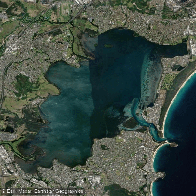
Lake Illawarra

Georges River
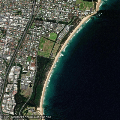
Towradgi Beach
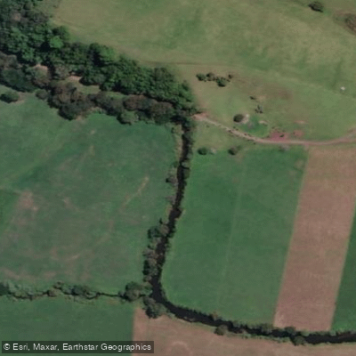
Minnamurra River
Hacking River
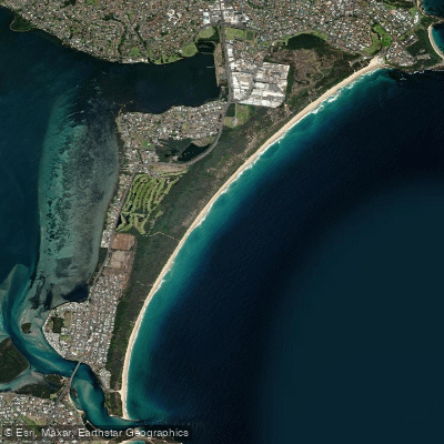
Perkins Beach
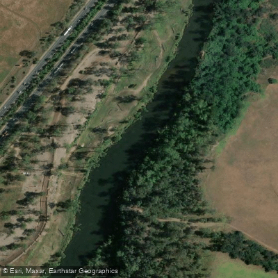
Nepean River
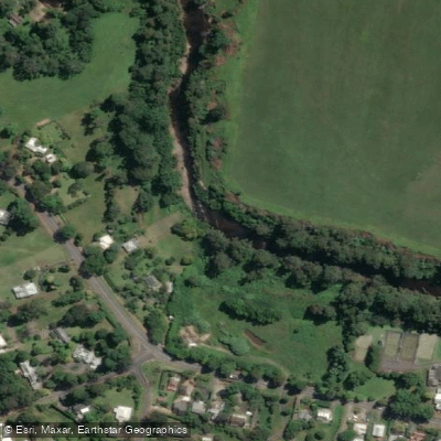
Kangaroo River
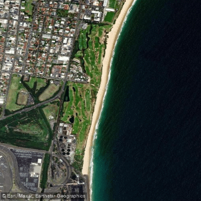
Coniston Beach
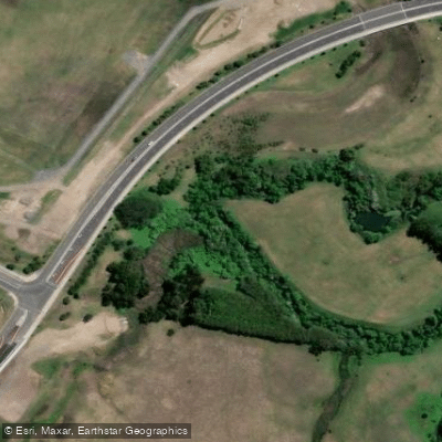
Mullet Creek
Explore New South Wales waters
Top paddling waters
No waters available right now.
Popular Cities
Loading popular cities...
Explore near Conjola Creek

Smarter Paddling Starts in the App.
Paddleways gives you everything you need to plan smarter, paddle better, and own every trip from first launch to takeout.