Coonemia Creek
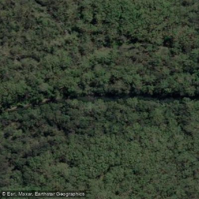
Coonemia Creek
- Boat Ramps
- 1
- Access Points
- 0
- Campsites
- 0
Coonemia Creek is located within Jervis Bay National Park in New South Wales, flowing into Lake Wollumboola. The creek is accessible via Coonemia Creek Road, which turns off Currarong Road. At the access point, there is a small timber launching ramp suitable for kayaks, canoes, and small motorised trailer boats.
The paddling experience on Coonemia Creek is shaped by its connection to Lake Wollumboola, a 648-hectare coastal lake. The creek is best paddled when Lake Wollumboola is full and water levels in the creek are high, as this provides the most suitable conditions for launching and paddling. The route from the creek into the lake opens up the quiet southern bay as an extension of the paddle.
The surrounding environment consists of undisturbed forest vegetation along the banks, with the water reflecting the trees in calm conditions. The area supports a range of waterbirds, including azure kingfishers that perch on branches along the creek banks, as well as pelicans and cormorants. The creek is also noted as a fishing spot.
Facilities at the access point include the timber launching ramp. The site is also suitable for picnicking and swimming, and birdwatchers are encouraged to bring binoculars given the variety of species present.
Being situated within Jervis Bay National Park, paddlers should be aware that national park regulations apply. The creek is described as a waterway that locals tend to favour, while visitors to the broader Jervis Bay area may be more likely to paddle the better-known nearby waterways such as Currambene Creek. This relative quietness contributes to the creek's character as a less-trafficked paddling destination within the region.
Water access, boat ramps & amenities
Learn how to get on Coonemia Creek. Uncover great paddling access points, boat ramps, and all the facilities you need for an unforgettable day on the water. Some locations shown may border or include private property. Always check property boundaries and applicable regulations before visiting. PaddleWays's Public & Private Land layer can help you plan your access with confidence.
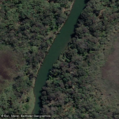
Paddle smarter with real-time insights
Whether you're en route and conditions shift or you're looking for the best spot based on current flows, we enable you to make informed decisions on the fly.








Find Places to Paddle

Over 400,000 Places to Paddle
Every user gets free access to launch points, boat ramps, and public property parcels.


Water and weather conditions (10 day forecast)
See the best times to paddle Coonemia Creek and check the forecast before you go.
No forecast data available.
Paddling near Coonemia Creek
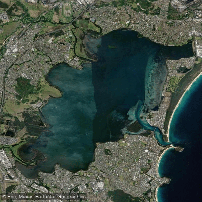
Lake Illawarra
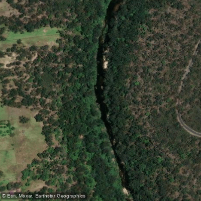
Georges River
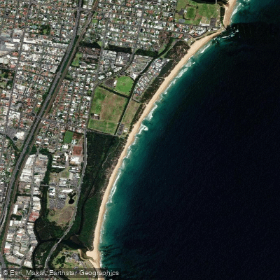
Towradgi Beach
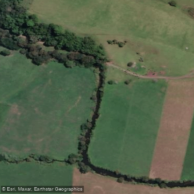
Minnamurra River
Hacking River
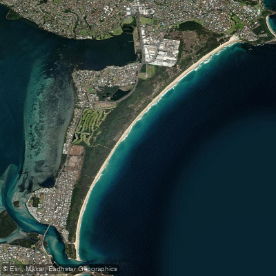
Perkins Beach
Nepean River
Kangaroo River
Coniston Beach
Mullet Creek
Explore New South Wales waters
Top paddling waters
No waters available right now.
Popular Cities
Loading popular cities...
Explore near Coonemia Creek
Access points
Nearby waters
More in New South Wales

Smarter Paddling Starts in the App.
Paddleways gives you everything you need to plan smarter, paddle better, and own every trip from first launch to takeout.