Coxs River
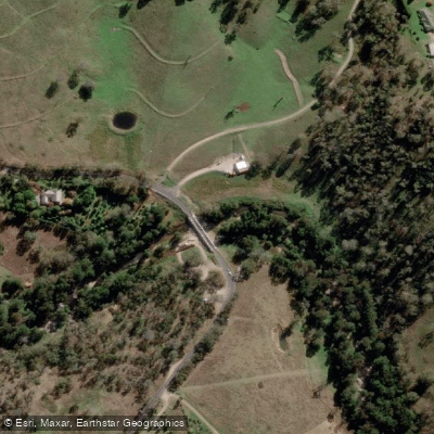
Coxs River
- Boat Ramps
- 0
- Access Points
- 0
- Campsites
- 1
The Coxs River is a 155-kilometre perennial river in New South Wales, flowing through the Central Tablelands, Blue Mountains, and Macarthur regions as part of the Hawkesbury-Nepean catchment. It originates near Gardiners Gap in Ben Bullen State Forest at an elevation of 1,040 metres and terminates at its confluence with the Warragamba River, forming Lake Burragorang. The river passes through a range of environments, from farmland near Hartley and the upper reaches to wilderness sections within the Blue Mountains.
Paddling on the Coxs River is feasible in sections, though access varies considerably along its length. The Lake Lyell area near Rydal provides one of the more accessible paddling opportunities, where kayakers and canoeists can paddle upstream from the lake into the calmer headwater sections of the river. This stretch features clear pools, a rocky bottom, and forested banks. A packraft loop of approximately 38 kilometres has been documented starting from the end of Megalong Valley Road, walking in via Ironpot Ridge and paddling roughly 12 kilometres downstream to Konangaroo Clearing before returning on foot via the Wild Dog Mountains. The paddling portion of this route involves pools and gentle rapids, with occasional shallow sections requiring short portages.
The wilderness sections of the river, particularly below the Megalong Valley and approaching Lake Burragorang, require significant walk-in access. The Six Foot Track and the Breakfast Creek walking track from Dunphy's Campground are the primary routes into these areas, with the latter recommended only for experienced bushwalkers. Vehicle access is available at several points near Hartley and in the Lidsdale State Forest area, but is not permitted as the river approaches Lake Burragorang. A 4WD-only access road from Sandy Hook reaches the Six Foot Track camping area near the river.
The river corridor supports diverse wildlife, including cormorants, birds of prey such as the White-bellied Sea Eagle, feral pigs, and black snakes. The forested banks limit long-distance views in the deeper gorge sections, though the surrounding mountains are visible where the terrain opens. Flow levels can drop significantly over summer, making the shoulder seasons and winter more suitable for paddling. Water levels are gauge-dependent, and at least one documented packraft trip noted that adequate recent rainfall is important for a worthwhile run.
Water access, boat ramps & amenities
Learn how to get on Coxs River. Uncover great paddling access points, boat ramps, and all the facilities you need for an unforgettable day on the water. Some locations shown may border or include private property. Always check property boundaries and applicable regulations before visiting. PaddleWays's Public & Private Land layer can help you plan your access with confidence.
Paddle smarter with real-time insights
Whether you're en route and conditions shift or you're looking for the best spot based on current flows, we enable you to make informed decisions on the fly.








Find Places to Paddle

Over 400,000 Places to Paddle
Every user gets free access to launch points, boat ramps, and public property parcels.


Water and weather conditions (10 day forecast)
See the best times to paddle Coxs River and check the forecast before you go.
Coxs River At Bathurst Road
All Flow Stations
Paddling near Coxs River
Sydney
Parramatta River
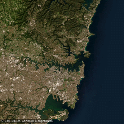
Port Jackson
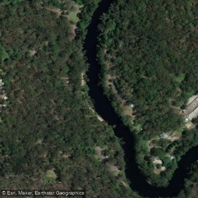
Lane Cove River
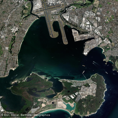
Botany
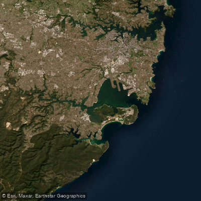
Botany Bay
Cowan Creek

Georges River
Bate Bay
Woronora River
Explore New South Wales waters
Top paddling waters
No waters available right now.
Popular Cities
Loading popular cities...
Explore near Coxs River
Access points
Nearby waters
More in New South Wales

Smarter Paddling Starts in the App.
Paddleways gives you everything you need to plan smarter, paddle better, and own every trip from first launch to takeout.