Dry Creek
- River
- River
- River length
- 6.5 mi
- Boat Ramps
- 0
- Access Points
- 0
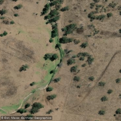
Dry Creek is located within a native forest reserve in New South Wales, accessible via Princess Margaret Rose Caves Road and Dry Creek Road, approximately 25 minutes from Mount Gambier. The primary access point for paddlers is the Dry Creek campground, which requires a 4WD vehicle to reach and features unmarked campsites. Canoeing and paddling are permitted activities at this location, and bookings for the campground are mandatory and must be arranged through the NSW National Parks booking system. The area offers launch points and boat ramps, providing practical entry and exit points for kayaks and paddle boards. The water body flows through a native forest reserve, suggesting a natural setting with potential for wildlife observation and a quiet, forested atmosphere. Paddlers should be prepared for a remote experience given the 4WD-only access and the unmarked nature of the campsites, which indicates a basic, undeveloped facility.
Hazards
Hazards on Dry Creek
No hazards are marked on Dry Creek yet. That is not the same as none being there: if you find one, report it for the next paddler.
From the community
Dry Creek trip reports
Nobody has shared a trip on Dry Creek yet. Paddle it, then tell the next paddler how it went.
Flows & paddling conditions (10 day forecast)
Flows and weather, so you know what to expect on Dry Creek today.
No forecast data available.
Paddle smarter with real-time insights
Live flows, marked hazards and fresh trip reports from paddlers who were just on the water, all in one place.







Find Places to Paddle

Over 400,000 Places to Paddle
Every user gets free access to launch points, boat ramps, and public property parcels.



Paddling near Dry Creek
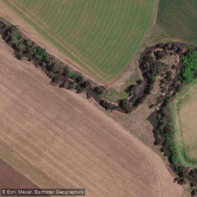
Peel River
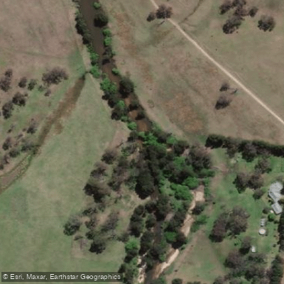
MacDonald River
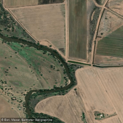
Namoi River
Cockburn River
Peel River
Apsley River
Gwydir River
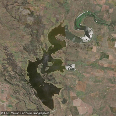
Lake Keepit
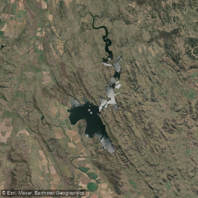
Split Rock Dam
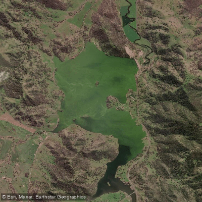
Chaffey Reservoir Dam
Explore New South Wales waters
Top paddling waters
No waters available right now.
Explore near Dry Creek
Smarter Paddling Starts in the App.
PaddleWays gives you everything you need to plan smarter, paddle better, and own every trip from first launch to takeout.