Hughes Creek
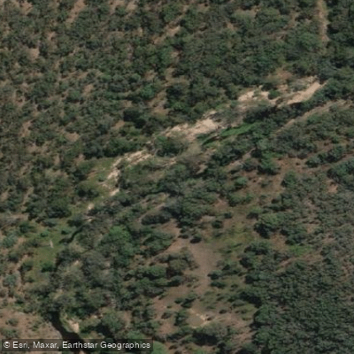
Hughes Creek
- Boat Ramps
- 0
- Access Points
- 0
- Campsites
- 0
Hughes Creek is a tributary of the Goulburn River in central Victoria, offering two distinct paddling sections with notably different characters. The creek flows through a landscape of sandstone outcrops, boulder gardens, and sections dense with tea tree and banksia, with portions passing through the Coolabah Crown Hughes Gorge Flora Reserve.
The upper section, known as Dropmore, runs from Nolans Road to the Hughes Creek Road crossing and covers approximately 13.5 kilometres. This section features numerous drops and slides and is rated grade 3, rising to grade 4 at higher water levels. It is not worth paddling below 1.2 metres on the Hughes Creek gauge at Tarcombe Road, with optimal conditions around 1.5 metres or higher. Paddlers should be aware that the lower portion of this section passes through private farmland, with multiple fences strung across the river that require portaging. The many twists, turns, reed beds, and boggy sections mean the paddle takes considerably longer than the distance suggests — allow at least 8 hours for this stretch.
The lower section runs from the Hughes Creek Road crossing to the Coolabah Crown Hughes Gorge Flora Reserve, covering around 10 kilometres. This reach is predominantly grade 2 with some grade 2+ and is accessible at gauge readings of 1.1 metres or higher. The character here is mainly drop-pool, with play waves over sandstone outcrops, small drops, holes, and wave trains. Some sections are heavily vegetated with tea tree and banksia, particularly through the boulder gardens.
The wildlife reserve at the lower end of the run is notable for its birdlife and other animals. The creek also supports a population of Macquarie perch, a species listed as endangered throughout Australia, which inhabits reaches with small boulders, pebbles, and gravels at water depths typically between 0.4 and 0.6 metres. Invasive species including carp, redfin perch, mosquito fish, and goldfish are also present in the creek.
Water access, boat ramps & amenities
Learn how to get on Hughes Creek. Uncover great paddling access points, boat ramps, and all the facilities you need for an unforgettable day on the water. Some locations shown may border or include private property. Always check property boundaries and applicable regulations before visiting. PaddleWays's Public & Private Land layer can help you plan your access with confidence.
Paddle smarter with real-time insights
Whether you're en route and conditions shift or you're looking for the best spot based on current flows, we enable you to make informed decisions on the fly.








Find Places to Paddle

Over 400,000 Places to Paddle
Every user gets free access to launch points, boat ramps, and public property parcels.


Water and weather conditions (10 day forecast)
See the best times to paddle Hughes Creek and check the forecast before you go.
Hughes Creek @ Tarcombe Road
All Flow Stations
Paddling near Hughes Creek
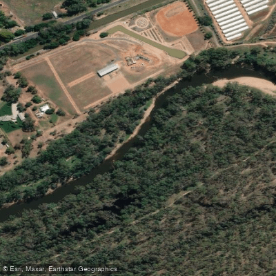
Goulburn River
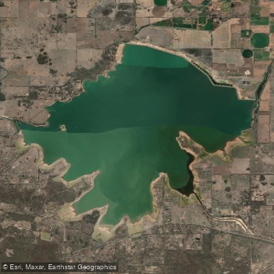
Waranga Basin

Murray River
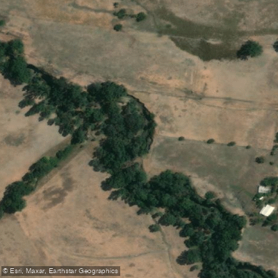
Holland Creek

Campaspe River
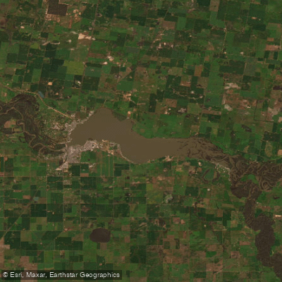
Lake Mulwala
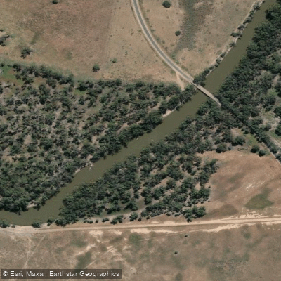
Edward River
Gulpa Creek
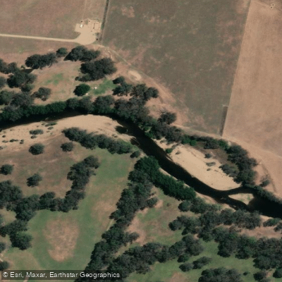
Ovens River
Explore Victoria waters
Top paddling waters
No waters available right now.
Popular Cities
Loading popular cities...
Explore near Hughes Creek

Smarter Paddling Starts in the App.
Paddleways gives you everything you need to plan smarter, paddle better, and own every trip from first launch to takeout.