Waranga Basin
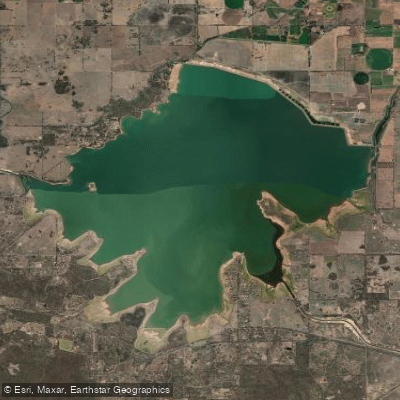
Waranga Basin
- Boat Ramps
- 5
- Access Points
- 0
- Campsites
- 0
Waranga Basin is the fourth-largest inland waterway in Victoria, situated between the Goulburn and Campaspe River basins, approximately 8 kilometres north-east of Rushworth and 12 kilometres south-west of Tatura. The closest major centre is Shepparton, about a 30-minute drive away. The basin was constructed between 1905 and 1908 on the site of a natural wetland known as Gunn's Swamp, with an embankment reaching 12.2 metres in height and stretching 7 kilometres in length. It holds a capacity of 432,360 megalitres and is fed by water diverted from the Goulburn River via the Stuart Murray and Cattanach canals.
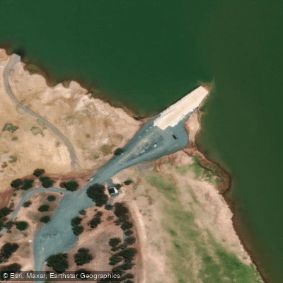
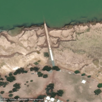
Kayaking is an established activity on the basin. The primary access point for paddlers is Harriman Point, a recreation area on the foreshore that includes boat ramps, a jetty, picnic grounds, and toilets. A new dual-lane boat ramp was installed at Harriman Point in 2022, and there are a total of three public boat ramps around the reservoir. The foreshore also includes a caravan park and electric barbecues, making it a practical base for overnight trips.
Several boating regulations apply and are directly relevant to paddlers. All vessels must travel in an anti-clockwise direction on the water. A 5-knot speed limit is enforced within 200 metres of the water's edge, within 50 metres of other vessels, navigation aids, swimmers, and fixed or floating structures, and within 100 metres of vessels displaying a dive flag. There is no boating permitted within 40 metres of the Waranga Basin embankment wall at the northern perimeter. Paddlers should be aware that the basin is also used heavily by motorised watercraft including jet skis and water-skiing boats, which can generate significant wash.
The surrounding area supports birdwatching and bushwalking along the foreshore, which may be of interest to paddlers looking to combine activities. The basin's scale — covering approximately 5,448 hectares — means there is considerable open water to navigate, and conditions can vary accordingly. The site has historical significance as the location of one of Australia's first major dam construction projects, and the Harriman Point recreation area is named after an early settler who arrived in the region in 1884.
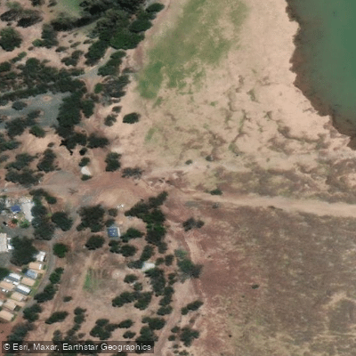
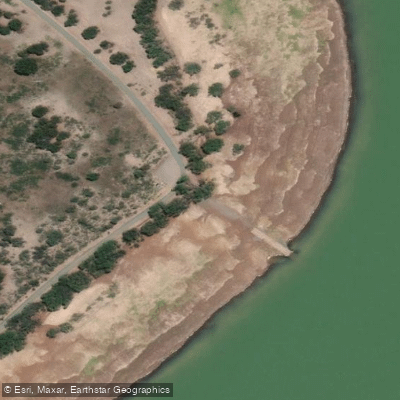
Water access, boat ramps & amenities
Learn how to get on Waranga Basin. Uncover great paddling access points, boat ramps, and all the facilities you need for an unforgettable day on the water. Some locations shown may border or include private property. Always check property boundaries and applicable regulations before visiting. PaddleWays's Public & Private Land layer can help you plan your access with confidence.
Paddle smarter with real-time insights
Whether you're en route and conditions shift or you're looking for the best spot based on current flows, we enable you to make informed decisions on the fly.








Find Places to Paddle

Over 400,000 Places to Paddle
Every user gets free access to launch points, boat ramps, and public property parcels.


Water and weather conditions (10 day forecast)
See the best times to paddle Waranga Basin and check the forecast before you go.
Cattanach Channel @ Waranga Inlet
All Flow Stations
Paddling near Waranga Basin
Goulburn River

Murray River
Holland Creek

Campaspe River
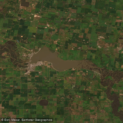
Lake Mulwala
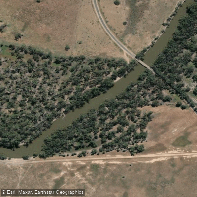
Edward River
Gulpa Creek
Hughes Creek
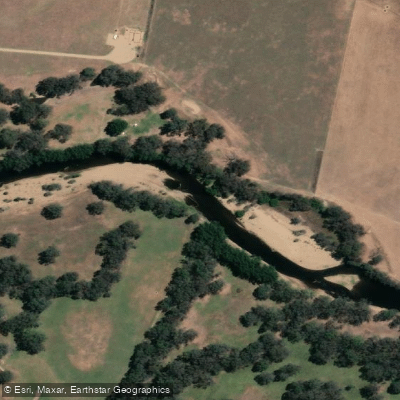
Ovens River
Explore Victoria waters
Top paddling waters
No waters available right now.
Popular Cities
Loading popular cities...
Explore near Waranga Basin
Access points
Nearby waters
More in Victoria

Smarter Paddling Starts in the App.
Paddleways gives you everything you need to plan smarter, paddle better, and own every trip from first launch to takeout.