Lake Conjola
- Saltwater
- Estuary
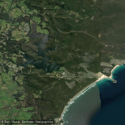
Lake Conjola
- Saltwater
- Estuary
- Sq. miles
- 3.9
- Boat Ramps
- 0
- Access Points
- 0
- Campsites
- 0
Lake Conjola is a coastal saltwater estuary on the NSW South Coast, located within the Shoalhaven region. The lake is separated from the ocean by Conjola Beach, and its entrance is managed by the local council, with its opening to the sea being a subject of operational focus. Paddlers can launch from several points, including the Norman Street boat ramp, and rental kayaks, canoes, and stand-up paddleboards are available from the Lake Conjola Post Office Store and Walking on Water. Accommodations like Holiday Haven Lake Conjola and private vacation rentals often provide direct waterfront access and sometimes include craft for guest use. The lake's character is defined by a mix of calm, sheltered waters suitable for family paddling and more exposed areas near its entrance. At the mouth, near Green Island and Cunjurong Point, a reef break creates a surf zone, indicating that paddlers approaching the ocean inlet must be prepared for wave action and possible currents associated with the tidal exchange. The lake is bordered by Conjola National Park and the Narrawallee Creek Nature Reserve, offering scenic backdrops of bushland, coastal wetlands, and rainforest. Wildlife, particularly birdlife, is a feature of these reserves. The Burrawang Track is a 2km walking path from Conjola Beach to Buckleys Point, providing a land-based perspective of the coastal environment. The lake supports multiple water activities, including water skiing, so paddlers should expect boat traffic and need to be mindful, especially when crossing main channels. The overall experience is oriented towards outdoor recreation, with facilities like the Lake Conjola Bowling Club and various holiday parks available nearby.
Water access, boat ramps & amenities
Learn how to get on Lake Conjola. Uncover great paddling access points, boat ramps, and all the facilities you need for an unforgettable day on the water. Some locations shown may border or include private property. Always check property boundaries and applicable regulations before visiting. PaddleWays's Public & Private Land layer can help you plan your access with confidence.
Paddle smarter with real-time insights
Whether you're en route and conditions shift or you're looking for the best spot based on current flows, we enable you to make informed decisions on the fly.








Find Places to Paddle

Over 400,000 Places to Paddle
Every user gets free access to launch points, boat ramps, and public property parcels.


Tides, wind & water conditions (10 day forecast)
On open water, wind and tide matter as much as the weather. See the best times to paddle Lake Conjola and check the marine forecast before you launch.
Loading tide predictions…
Paddling near Lake Conjola
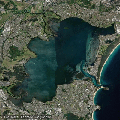
Lake Illawarra

Georges River
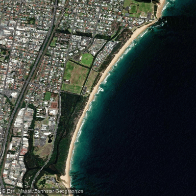
Towradgi Beach
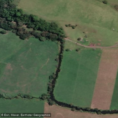
Minnamurra River
Hacking River
Perkins Beach
Nepean River
Kangaroo River
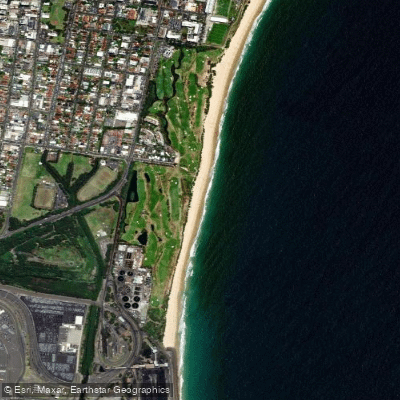
Coniston Beach
Mullet Creek
Explore New South Wales waters
Top paddling waters
No waters available right now.
Popular Cities
Loading popular cities...
Explore near Lake Conjola

Smarter Paddling Starts in the App.
Paddleways gives you everything you need to plan smarter, paddle better, and own every trip from first launch to takeout.