McCarrs Creek
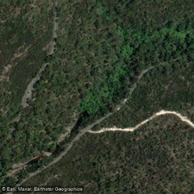
McCarrs Creek
- Boat Ramps
- 0
- Access Points
- 1
- Campsites
- 0
McCarrs Creek is located on the western side of the Pittwater peninsula in Sydney's Northern Beaches region, flowing into Pittwater and providing access to Ku-ring-gai Chase National Park. The creek and its surrounds are characterised by natural bushland and secluded waterfront settlements that are not accessible by road — the only way to reach them is by boat across Pittwater or on foot through the national park.
The primary access point for paddlers is McCarrs Creek Reserve, which offers free parking and an easy put-in. Church Point, on McCarrs Creek Road, also serves as a convenient hand-launch location, though parking there is limited and planning ahead is advisable. The Church Point ramp is particularly useful for those heading toward Scotland Island, Elvina Bay, or Lovett Bay.
A popular route from McCarrs Creek Reserve is the paddle around Scotland Island, approximately 9 kilometres return. Paddlers can also continue further up into Pittwater, past The Basin and toward Palm Beach, a one-way distance of around 9 kilometres. These options place McCarrs Creek within a broader network of Pittwater routes that can be extended or shortened depending on conditions and preference.
Canoeing, kayaking, and stand-up paddleboarding are all permitted on the water. The surrounding Pittwater area includes moored yachts and boat traffic, which paddlers should be aware of when planning routes. The creek itself opens into the broader Pittwater estuary, where conditions can vary depending on wind and tidal movement.
The area's appeal lies largely in its access to foreshore-only communities and undeveloped bushland within the national park, making it possible to explore parts of the Sydney region that remain largely untouched by road infrastructure. Wildlife in the broader Pittwater and Ku-ring-gai area includes white-bellied sea eagles and brahminy kites, species noted in the region's paddling literature.
Water access, boat ramps & amenities
Learn how to get on McCarrs Creek. Uncover great paddling access points, boat ramps, and all the facilities you need for an unforgettable day on the water. Some locations shown may border or include private property. Always check property boundaries and applicable regulations before visiting. PaddleWays's Public & Private Land layer can help you plan your access with confidence.
Paddle smarter with real-time insights
Whether you're en route and conditions shift or you're looking for the best spot based on current flows, we enable you to make informed decisions on the fly.








Find Places to Paddle

Over 400,000 Places to Paddle
Every user gets free access to launch points, boat ramps, and public property parcels.


Water and weather conditions (10 day forecast)
See the best times to paddle McCarrs Creek and check the forecast before you go.
No forecast data available.
Paddling near McCarrs Creek
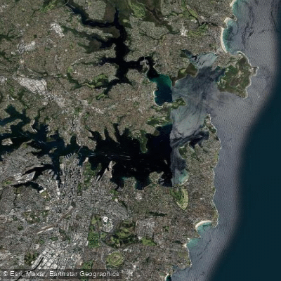
Sydney
Parramatta River
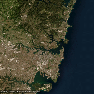
Port Jackson
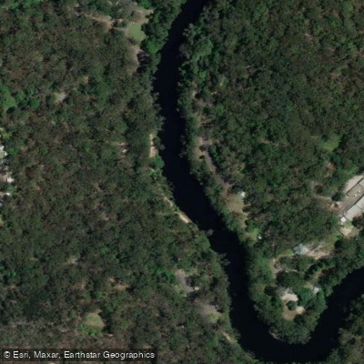
Lane Cove River
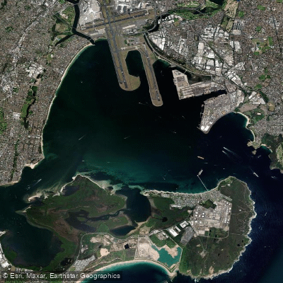
Botany
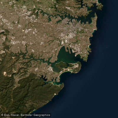
Botany Bay
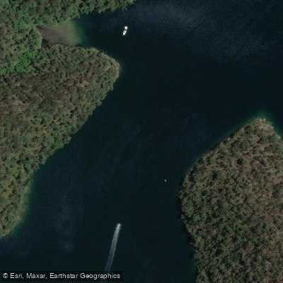
Cowan Creek

Georges River
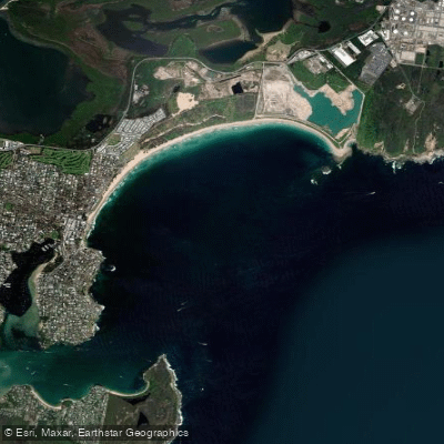
Bate Bay
Woronora River
Explore New South Wales waters
Top paddling waters
No waters available right now.
Popular Cities
Loading popular cities...
Explore near McCarrs Creek
Access points
Nearby waters
More in New South Wales

Smarter Paddling Starts in the App.
Paddleways gives you everything you need to plan smarter, paddle better, and own every trip from first launch to takeout.