Smiths Creek
Smiths Creek
- Boat Ramps
- 0
- Access Points
- 0
- Campsites
- 0
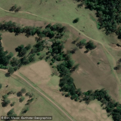
Smith's Creek is located within Ku-ring-gai Chase National Park, roughly 35 minutes by road from central Sydney, and is accessible via Bobbin Head. Despite its name, it is a notably large waterway with substantial tidal movement, and paddlers should plan their trips around tidal conditions, as the current can run fast and significantly affect progress both entering and exiting the creek. Crossing the mouth of Smith's Creek at its junction with the main waterway can involve strong tidal flow, and it is generally advisable to time crossings to work with rather than against the tide.
The creek is navigable for a considerable distance — at least 6 kilometres upstream has been reported before natural obstacles such as fallen logs may block further progress. The surrounding landscape consists of steep hills covered in dense native bushland, and the waterway itself is wide and deep for much of its length. Houseboats and larger vessels are present in the area, so paddlers should be prepared for boat wake, particularly near the lower reaches.
Parking is available at Bobbin Head within the national park; without a Parks pass, the day parking fee is $12. Overnight camping at Bobbin Head is not permitted. Ku-ring-gai Chase National Park contains over 800 recorded pieces of Aboriginal rock art, making the broader area of cultural and historical significance. The park is also accessed via Ku-ring-gai Chase Road off the M1 at Asquith, and cyclists are frequently encountered on approach roads, which is worth noting when driving to the put-in.
Given the tidal nature of the creek and the presence of motorised vessel traffic, this paddle is better suited to paddlers with some experience in reading and managing tidal conditions rather than complete beginners.
Water access, boat ramps & amenities
Learn how to get on Smiths Creek. Uncover great paddling access points, boat ramps, and all the facilities you need for an unforgettable day on the water. Some locations shown may border or include private property. Always check property boundaries and applicable regulations before visiting. PaddleWays's Public & Private Land layer can help you plan your access with confidence.
Paddle smarter with real-time insights
Whether you're en route and conditions shift or you're looking for the best spot based on current flows, we enable you to make informed decisions on the fly.








Find Places to Paddle

Over 400,000 Places to Paddle
Every user gets free access to launch points, boat ramps, and public property parcels.


Water and weather conditions (10 day forecast)
See the best times to paddle Smiths Creek and check the forecast before you go.
No forecast data available.
Paddling near Smiths Creek
Nerang River

Mudgeeraba Creek
Southern Moreton Bay
Tallebudgera Creek
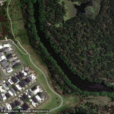
Coombabah Creek

Moreton Bay
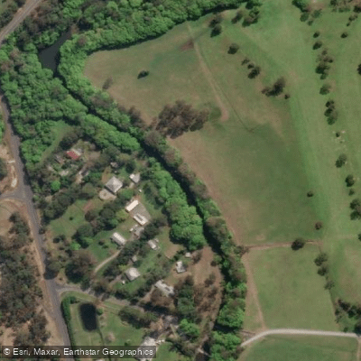
Coomera River
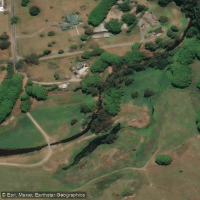
Currumbin Creek
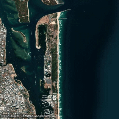
The Spit Beach
Pimpama River
Explore New South Wales waters
Top paddling waters
No waters available right now.
Popular Cities
Loading popular cities...
Explore near Smiths Creek

Smarter Paddling Starts in the App.
Paddleways gives you everything you need to plan smarter, paddle better, and own every trip from first launch to takeout.