Still Creek
Still Creek
- Boat Ramps
- 0
- Access Points
- 0
- Campsites
- 0
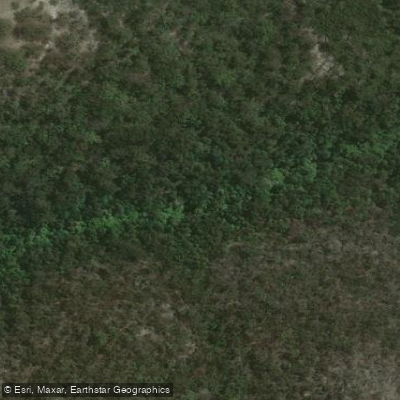
Still Creek originates above the Taponga River in the Big River State Forest. The paddleable section begins from Big River Road, offering a run of approximately 2.5 to 3 kilometres that is rated predominantly grade 2.
The put-in is accessible from Big River Road, and paddlers have two take-out options: where Still Creek meets the Taponga River, or continuing further downstream to the confluence with the Big River and taking out at Big River Bridge.
The character of the run is defined by a series of ledge-style grade 2 drops, with a notable weir drop of approximately 1.5 metres located roughly halfway through the section. This weir can be run when there are no logs present below it, but paddlers should scout it carefully before committing. The creek also presents ongoing hazards in the form of trees and log jams throughout the run. These obstacles are generally visible with enough advance notice to allow paddlers to exit and portage around or over them, but attentiveness is required throughout the section.
The overall gradient and character make this a relatively accessible whitewater run for paddlers comfortable at the grade 2 level, though the combination of wood hazards and the weir drop means it should not be treated casually. The forested setting within the Big River State Forest gives the run a natural, bush character.
Water access, boat ramps & amenities
Learn how to get on Still Creek. Uncover great paddling access points, boat ramps, and all the facilities you need for an unforgettable day on the water. Some locations shown may border or include private property. Always check property boundaries and applicable regulations before visiting. PaddleWays's Public & Private Land layer can help you plan your access with confidence.
Paddle smarter with real-time insights
Whether you're en route and conditions shift or you're looking for the best spot based on current flows, we enable you to make informed decisions on the fly.








Find Places to Paddle

Over 400,000 Places to Paddle
Every user gets free access to launch points, boat ramps, and public property parcels.


Water and weather conditions (10 day forecast)
See the best times to paddle Still Creek and check the forecast before you go.
No forecast data available.
Paddling near Still Creek
Sydney
Parramatta River
Port Jackson
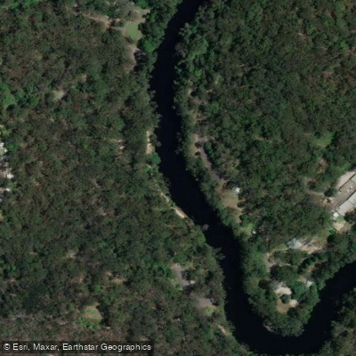
Lane Cove River
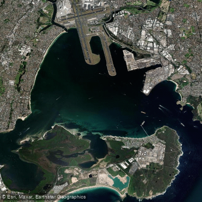
Botany
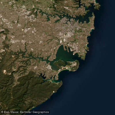
Botany Bay
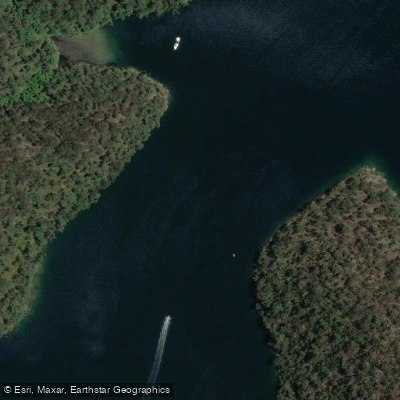
Cowan Creek

Georges River
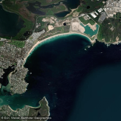
Bate Bay
Woronora River
Explore New South Wales waters
Top paddling waters
No waters available right now.
Popular Cities
Loading popular cities...
Explore near Still Creek
Nearby waters
More in New South Wales

Smarter Paddling Starts in the App.
Paddleways gives you everything you need to plan smarter, paddle better, and own every trip from first launch to takeout.