Tullarwalla Lagoon
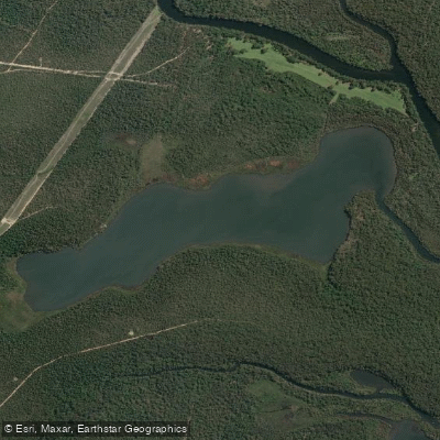
Tullarwalla Lagoon
- Boat Ramps
- 0
- Access Points
- 0
- Campsites
- 0
Tullarwalla Lagoon is located in the Sussex Inlet area of New South Wales, on the northern boundary of a coastal peninsula managed by Sealark and The Halloran Trust, with plans for eventual incorporation into the National Parks estate. When full, the lagoon covers approximately 85 hectares. It is fed by Tullarwalla Creek, which also serves as its outlet, draining into St Georges Basin via the lower reaches of Wandandian Creek.
The lagoon connects to Wandandian Creek, which runs through Corramy Regional Park, making it accessible as part of a longer paddling route. Paddlers can launch from the Wandandian Creek picnic area within Corramy Regional Park and travel downstream to reach Tullarwalla Lagoon, or continue further out to St Georges Basin. Autumn is specifically noted as a good season for this type of kayak journey along Wandandian Creek toward the lagoon.
Paddlers should be aware that strong currents and submerged hazards may be present in the creek sections connecting to the lagoon. The area is not patrolled by lifeguards, and children should be supervised at all times near the water. Mobile phone reception is limited in the surrounding park, which affects the ability to call emergency services. Downloading the Emergency Plus app before visiting is recommended, as it can assist emergency services in locating paddlers via GPS.
The surrounding landscape is ecologically diverse, with the catchment comprising largely forested areas including National Parks and State Forest. The vegetation communities in the area include Swamp Oak swamp forest, Swamp Paperbark shrubland on estuarine flats, Bangalay–Old-man Banksia open forest on coastal sands, and Blackbutt–Turpentine–Bangalay moist open forest, among others. The northern and southern tips of the adjacent peninsula are known as Picnic Point and Bream Point respectively. Nearby water bodies include Jervis Bay, approximately 15 kilometres away.
Water access, boat ramps & amenities
Learn how to get on Tullarwalla Lagoon. Uncover great paddling access points, boat ramps, and all the facilities you need for an unforgettable day on the water. Some locations shown may border or include private property. Always check property boundaries and applicable regulations before visiting. PaddleWays's Public & Private Land layer can help you plan your access with confidence.
Paddle smarter with real-time insights
Whether you're en route and conditions shift or you're looking for the best spot based on current flows, we enable you to make informed decisions on the fly.








Find Places to Paddle

Over 400,000 Places to Paddle
Every user gets free access to launch points, boat ramps, and public property parcels.


Water and weather conditions (10 day forecast)
See the best times to paddle Tullarwalla Lagoon and check the forecast before you go.
No forecast data available.
Paddling near Tullarwalla Lagoon
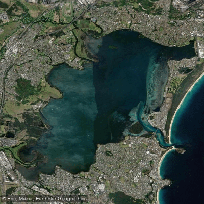
Lake Illawarra

Georges River
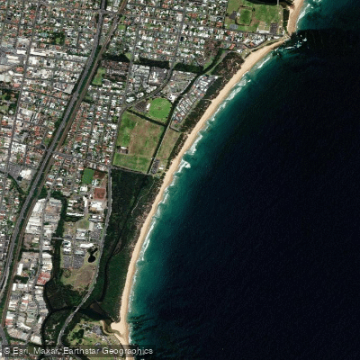
Towradgi Beach
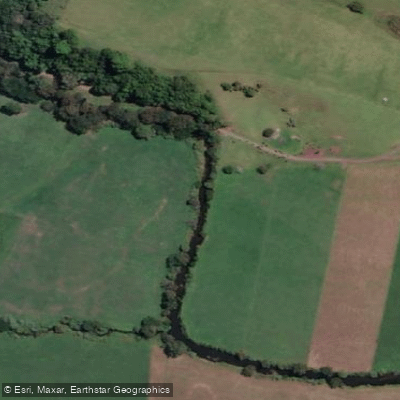
Minnamurra River
Hacking River
Perkins Beach
Nepean River
Kangaroo River
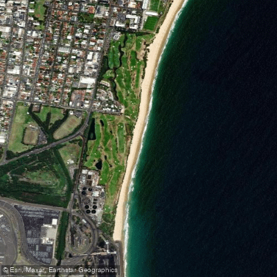
Coniston Beach
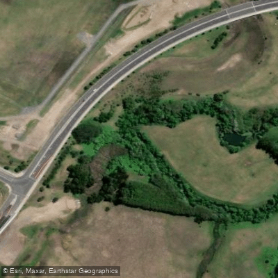
Mullet Creek
Explore New South Wales waters
Top paddling waters
No waters available right now.
Popular Cities
Loading popular cities...
Explore near Tullarwalla Lagoon

Smarter Paddling Starts in the App.
Paddleways gives you everything you need to plan smarter, paddle better, and own every trip from first launch to takeout.