Wandandian Creek
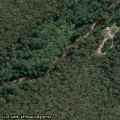
Wandandian Creek
- Boat Ramps
- 0
- Access Points
- 0
- Campsites
- 0
Wandandian Creek is a tidal waterway located within Corramy Regional Park on the New South Wales South Coast, near Jervis Bay and St Georges Basin. The creek branches in three directions from its main access point, offering paddlers a range of route options from a single launch location.
Access is via the Wandandian Creek picnic area in the Wandandian Creek precinct of Corramy Regional Park. A small platform at the picnic area provides a designated entry point into the water, designed to protect the fragile creek bank. This is the primary put-in location. Dogs are permitted in this section of the park but must remain on a leash at all times.
Paddlers can follow the creek downstream toward St Georges Basin, a large open waterway, or upstream into rural scenery. A third branch also extends from the main junction. Consulting a map before departure is advisable given the multiple branching options. The creek can also be accessed from the St Georges Basin side via the Basin View Boat Ramp, allowing paddlers to head up Wandandian Creek from the basin.
Safety considerations include strong currents and submerged hazards that may be present in the creek. The area is not patrolled by lifeguards, and children should be supervised at all times. Mobile phone reception is limited within the park, which affects the ability to call emergency services. Downloading the Emergency Plus app before visiting is recommended, as it uses GPS to assist emergency services in locating users.
The creek passes through casuarina-lined banks and supports a variety of birdlife. Observed species include black swans, pelicans, sea eagles, herons, egrets, plovers, wrens, and parrots. Turtles have also been reported in the area during summer. The upstream direction opens into rural scenery, while the downstream route leads to the open expanse of St Georges Basin.
Autumn is noted as a particularly suitable season for paddling, with the option to head out to St Georges Basin or downstream to connect with Tullarwalla Lagoon. Summer average temperatures range from approximately 16°C to 23°C, while winter averages fall between roughly 10°C and 16°C. The wettest month is May and the driest is September. Campfires and solid fuel burners are prohibited within the park, and the entire park is a no-smoking area. A current NSW recreational fishing licence is required for fishing.
Water access, boat ramps & amenities
Learn how to get on Wandandian Creek. Uncover great paddling access points, boat ramps, and all the facilities you need for an unforgettable day on the water. Some locations shown may border or include private property. Always check property boundaries and applicable regulations before visiting. PaddleWays's Public & Private Land layer can help you plan your access with confidence.
Paddle smarter with real-time insights
Whether you're en route and conditions shift or you're looking for the best spot based on current flows, we enable you to make informed decisions on the fly.








Find Places to Paddle

Over 400,000 Places to Paddle
Every user gets free access to launch points, boat ramps, and public property parcels.


Water and weather conditions (10 day forecast)
See the best times to paddle Wandandian Creek and check the forecast before you go.
No forecast data available.
Paddling near Wandandian Creek
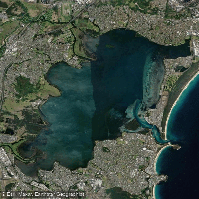
Lake Illawarra
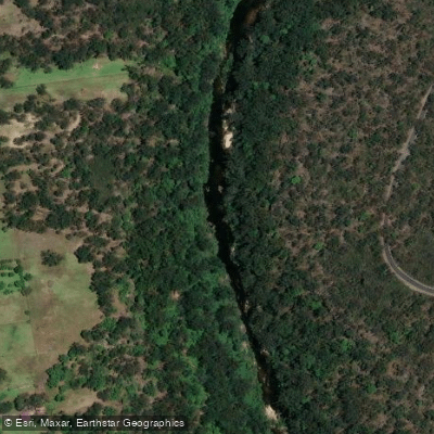
Georges River
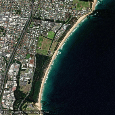
Towradgi Beach
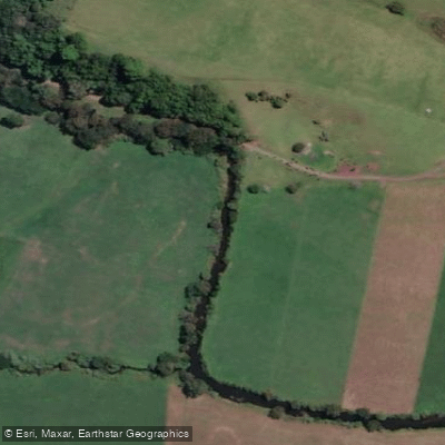
Minnamurra River
Hacking River
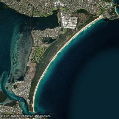
Perkins Beach
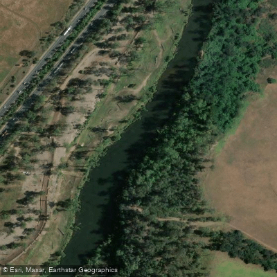
Nepean River
Kangaroo River
Coniston Beach
Mullet Creek
Explore New South Wales waters
Top paddling waters
No waters available right now.
Popular Cities
Loading popular cities...
Explore near Wandandian Creek

Smarter Paddling Starts in the App.
Paddleways gives you everything you need to plan smarter, paddle better, and own every trip from first launch to takeout.