Albert River
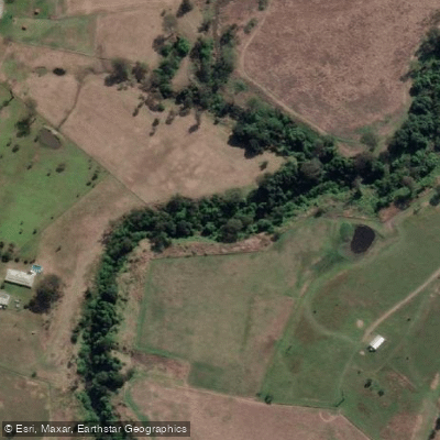
Albert River
- Boat Ramps
- 1
- Access Points
- 0
- Campsites
- 1
The Albert River is located in Southeast Queensland, described as one of the lesser-known rivers in the region. It originates near a place called Neglected Mountain and flows through areas including Luscombe, Wolfdene, and Beenleigh before joining the Logan River system. Despite its relative obscurity, the river offers a worthwhile paddling experience across a range of conditions and skill levels.
Logan City Council has developed a formal canoe and kayak trail network covering both the Albert and Logan rivers, with six distinct paddle routes catering to different ability levels. On the Albert River, the trail extends up to Beenleigh. Multiple pontoon launch sites have been installed along the river, featuring submerged flat-deck designs with handrails to make entry and exit straightforward, including for paddlers who may be fatigued. Key access points include Albert River Park, which has two pontoons — the first approximately 200 metres from the car park via a well-paved track, and the second accessible directly by vehicle. Skinners Park is another stop along the route with parking nearby.
A popular route runs from Albert River Park downstream to Logan River Parklands, covering approximately 13.7 kilometres and taking around 3.5 hours for fit, skilled paddlers. The current generally flows in the downstream direction, meaning a return trip against the current is feasible but more demanding. The first 500 metres between the two pontoons at Albert River Park is noted for good birdwatching opportunities.
In the upper reaches near Luscombe, the character of the river changes. The stretch from Luscombe Weir to Luscombe Bridge at Wolfdene includes small rapids where trees in the water present a potential capsize hazard. The following section toward Stanmore Causeway is quieter. Cedar Creek, a tributary, also offers some rapids and can be shallow in places. Paddlers venturing into these upper sections should be aware of these hazards and assess conditions accordingly.
The river is suitable for a range of craft, including inflatable and rigid kayaks, canoes, and paddleboards. Paddlers are advised to check park alerts, notes, and weather forecasts before heading out, as conditions can affect both travel time and difficulty.
Water access, boat ramps & amenities
Learn how to get on Albert River. Uncover great paddling access points, boat ramps, and all the facilities you need for an unforgettable day on the water. Some locations shown may border or include private property. Always check property boundaries and applicable regulations before visiting. PaddleWays's Public & Private Land layer can help you plan your access with confidence.
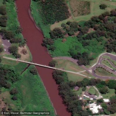
Paddle smarter with real-time insights
Whether you're en route and conditions shift or you're looking for the best spot based on current flows, we enable you to make informed decisions on the fly.







Queensland licenses and regulations

Find Places to Paddle

Over 400,000 Places to Paddle
Every user gets free access to launch points, boat ramps, and public property parcels.


Water and weather conditions (10 day forecast)
See the best times to paddle Albert River and check the forecast before you go.
Albert River At Lumeah Number 2
All Flow Stations
Paddling near Albert River
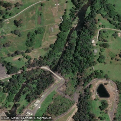
Nerang River
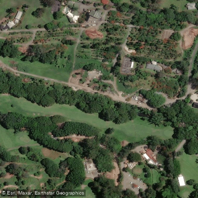
Mudgeeraba Creek
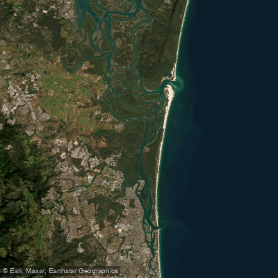
Southern Moreton Bay
Tallebudgera Creek
Coombabah Creek

Moreton Bay
Coomera River
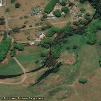
Currumbin Creek
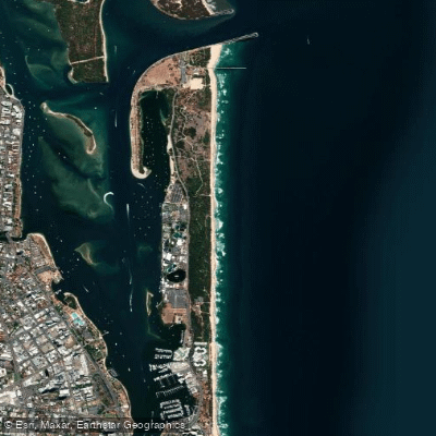
The Spit Beach
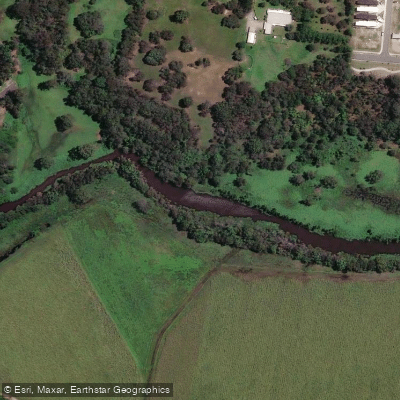
Pimpama River
Explore Queensland waters
Top paddling waters
No waters available right now.
Popular Cities
Loading popular cities...
Explore near Albert River

Smarter Paddling Starts in the App.
Paddleways gives you everything you need to plan smarter, paddle better, and own every trip from first launch to takeout.