Pine River
- Saltwater
- Estuary
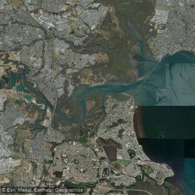
Pine River
- Saltwater
- Estuary
- Sq. miles
- 5.5
- Boat Ramps
- 0
- Access Points
- 0
- Campsites
- 0
The Pine River system, specifically its North Pine River section, is a tidal estuary within the Moreton Bay Region approximately 30 kilometers north of Brisbane's CBD. It originates in the D’Aguilar Range and flows southeast through communities like Petrie and Lawnton before connecting to the broader Pine River and draining into Moreton Bay. The river is characterized by calm and quiet waters, offering a peaceful paddling experience away from crowds. It winds through a varied landscape of bushland corridors, open water near the connected Lake Samsonvale reservoir, and areas with eucalyptus and mangrove forests, particularly around Hays Inlet and Tinchi Tamba Wetlands.
Key access points for launching include the Donnybrook Boat Ramp, Tinchi Tamba Wetlands, and locations in Petrie near the lower reaches of the river, such as those providing access to the North Pine River Paddle from Lawnton to John Oxley Reserve. The river is tidal for a significant portion, a critical factor for trip planning. Paddlers must consult tide charts, as paddling against a strong tidal current can be challenging. The drier months from May to October generally offer more stable water conditions with cooler temperatures and clearer skies, making it the most comfortable season for paddling. Summer months from November to April are warmer and wetter, with the potential for afternoon thunderstorms and higher water levels.
Wildlife sightings are a highlight, with many waterbirds, sea eagles, crabs, and a resident colony of platypus reported in the North Pine River. The system extends for approximately 54 kilometers, providing ample opportunity for exploration. Recommended routes include paddling up Freshwater Creek from Hays Inlet or exploring the western run of the North Pine River for more experienced paddlers. The water is generally calm and scenic, though it can become choppy on windy days, especially in more exposed areas like the open-water sections near Lake Samsonvale. Facilities are present at major launch points, such as boat ramps and fishing platforms, but paddlers are advised to bring insect repellent for comfort.
Water access, boat ramps & amenities
Learn how to get on Pine River. Uncover great paddling access points, boat ramps, and all the facilities you need for an unforgettable day on the water. Some locations shown may border or include private property. Always check property boundaries and applicable regulations before visiting. PaddleWays's Public & Private Land layer can help you plan your access with confidence.
Paddle smarter with real-time insights
Whether you're en route and conditions shift or you're looking for the best spot based on current flows, we enable you to make informed decisions on the fly.







Queensland licenses and regulations

Find Places to Paddle

Over 400,000 Places to Paddle
Every user gets free access to launch points, boat ramps, and public property parcels.


Tides, wind & water conditions (10 day forecast)
On open water, wind and tide matter as much as the weather. See the best times to paddle Pine River and check the marine forecast before you launch.
Loading tide predictions…
Paddling near Pine River
Brisbane River
Enoggera Creek

Moreton Bay
Oxley Creek
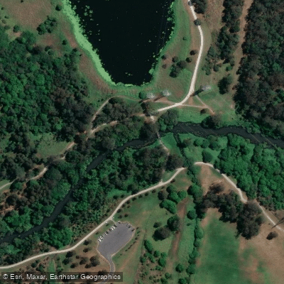
Bulimba Creek
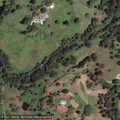
Moggill Creek
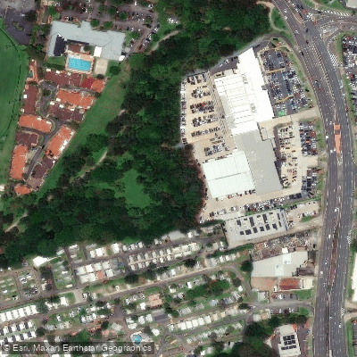
Cabbage Tree Creek
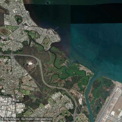
Nundah/Cabbage Tree Creek
South Pine River
Explore Queensland waters
Top paddling waters
No waters available right now.
Popular Cities
Loading popular cities...
Explore near Pine River

Smarter Paddling Starts in the App.
Paddleways gives you everything you need to plan smarter, paddle better, and own every trip from first launch to takeout.