Moggill Creek
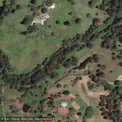
Moggill Creek
- Boat Ramps
- 0
- Access Points
- 0
- Campsites
- 0
Moggill Creek is a tidal creek in Brisbane, Queensland, that rises on the Taylor Range and flows in a south-easterly direction from the southern edge of Brisbane Forest Park through Upper Brookfield and Brookfield before joining the Brisbane River at Kenmore. The creek's name derives from the Aboriginal word "magil," used to describe the large water-lizards that were hunted in the area and would jump into the water when disturbed.
The most accessible entry point for paddling the creek from the Brisbane River is the Jindalee Boat Ramp Park off Mt Ommaney Drive, Jindalee. The entrance to Moggill Creek sits directly across the river from this ramp, and paddlers should exercise caution when crossing the Brisbane River due to powerboat traffic, particularly on weekends. From the river, it is approximately 3 kilometres upstream to where the tidal flow peters out, roughly 50 metres downstream of the Moggill Road bridge at Pullenvale. Much of the final kilometre passes through lushly vegetated public reserve. There is also a canoe ramp at Rafting Ground Reserve off Moggill Road, Pullenvale, though the footing there is frequently very slippery and warrants care.
Tidal timing is important for this section. Departing the boat ramp about an hour before high tide and returning on the outgoing tide is recommended. A minimum tide height of 1.8 metres is required to reach the uppermost navigable point of the creek.
The AllTrails listing describes a point-to-point paddle from Moggill to Jindalee covering approximately 11.3 miles, rated as generally easy and noted as suitable for birding and paddle sports. The creek is described as a pretty paddle with lush vegetation along the upper reaches, though the scenery overall is characterised as interesting rather than spectacular.
For paddlers exploring the section below Colleges Crossing, an 8-kilometre up-and-back trip from Kookaburra Park is the practical approach. A suspended pipe located just below the Crossing presents a significant obstacle — it is only navigable at high tide when submerged, and the portage around it involves muddy, very slippery terrain. From Kookaburra Park, it is 9.5 kilometres downstream to Joseph Brady Park, which has limited canoe-friendly access due to mud. Several small side creeks in this stretch, including Kholo Creek at 3.9 kilometres downstream, are worth exploring on a high tide.
Water access, boat ramps & amenities
Learn how to get on Moggill Creek. Uncover great paddling access points, boat ramps, and all the facilities you need for an unforgettable day on the water. Some locations shown may border or include private property. Always check property boundaries and applicable regulations before visiting. PaddleWays's Public & Private Land layer can help you plan your access with confidence.
Paddle smarter with real-time insights
Whether you're en route and conditions shift or you're looking for the best spot based on current flows, we enable you to make informed decisions on the fly.







Queensland licenses and regulations

Find Places to Paddle

Over 400,000 Places to Paddle
Every user gets free access to launch points, boat ramps, and public property parcels.


Water and weather conditions (10 day forecast)
See the best times to paddle Moggill Creek and check the forecast before you go.
Moggill Creek At Upper Brookfield
All Flow Stations
Paddling near Moggill Creek
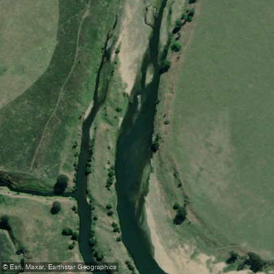
Brisbane River
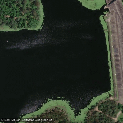
Enoggera Creek

Moreton Bay
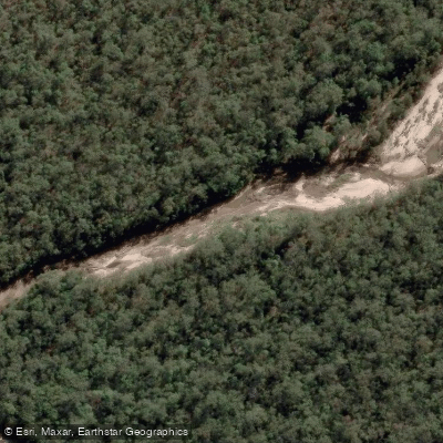
Oxley Creek
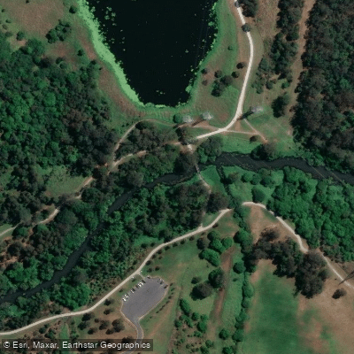
Bulimba Creek
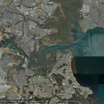
Pine River
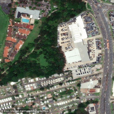
Cabbage Tree Creek
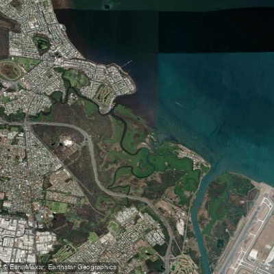
Nundah/Cabbage Tree Creek
South Pine River
Explore Queensland waters
Top paddling waters
No waters available right now.
Popular Cities
Loading popular cities...
Explore near Moggill Creek

Smarter Paddling Starts in the App.
Paddleways gives you everything you need to plan smarter, paddle better, and own every trip from first launch to takeout.