Oxley Creek
Oxley Creek
- Boat Ramps
- 0
- Access Points
- 0
- Campsites
- 1
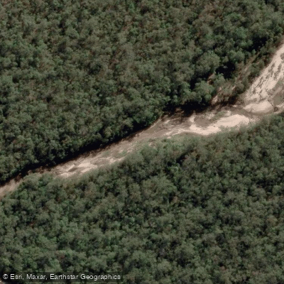
Oxley Creek is a tributary of the Brisbane River located in suburban Brisbane, Queensland, Australia. At 70 kilometres in length, it is Brisbane's longest creek and notably the only sand-based creek in the city. Its catchment covers approximately 260 square kilometres, rising in the hills of Undullah in Logan City and flowing through the western parts of Logan City before entering the City of Brisbane.
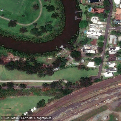
The lower reaches of the creek, passing through the suburbs of Oxley, Corinda, and Tennyson, contain the Oxley Creek Canoe Trail. This section is tidal, with the tidal influence extending upstream as far as the Ipswich Motorway crossing. Paddlers should factor tidal conditions into their planning, as water depth and current direction will vary accordingly. Up to Ed Kuepper (Lawson Street) Park, the creek is reported to be deep enough to paddle on any tide with minimal obstacles. There are multiple put-in points along this stretch.
A popular paddling route involves launching from the Brisbane River and turning into Oxley Creek, continuing down to the Secret Forest area and returning. The creek is bordered along its lower reaches by houses, parks, a driving range, and sports fields. The creek is crossed by the Logan Motorway and the Ipswich Motorway, and the surrounding winding areas are prone to flooding, particularly when there is overflow on the Rocklea flood plains from the tributary Stable Swamp Creek — a consideration for paddlers planning trips during or after heavy rainfall.
Water quality in the lower reaches is noted as heavily polluted, which is a relevant consideration for paddlers who may come into contact with the water. The broader Oxley Creek corridor is the subject of an ongoing transformation project aimed at developing it into a recreational and green space asset, with a 20-kilometre greenway trail planned along the creek linking the Brisbane River at Tennyson to bushlands at Larapinta.
Oxley Creek Common, located approximately 8 kilometres from Brisbane's CBD, is recognised as a significant birdwatching location and sits within the creek corridor, offering natural interest for paddlers passing through the area. The creek carries historical significance as the site where explorer John Oxley first surveyed it in December 1823, originally naming it Canoe Creek.
Water access, boat ramps & amenities
Learn how to get on Oxley Creek. Uncover great paddling access points, boat ramps, and all the facilities you need for an unforgettable day on the water. Some locations shown may border or include private property. Always check property boundaries and applicable regulations before visiting. PaddleWays's Public & Private Land layer can help you plan your access with confidence.
Paddle smarter with real-time insights
Whether you're en route and conditions shift or you're looking for the best spot based on current flows, we enable you to make informed decisions on the fly.







Queensland licenses and regulations

Find Places to Paddle

Over 400,000 Places to Paddle
Every user gets free access to launch points, boat ramps, and public property parcels.


Water and weather conditions (10 day forecast)
See the best times to paddle Oxley Creek and check the forecast before you go.
Oxley Creek At New Beith
All Flow Stations
Paddling near Oxley Creek
Logan River
Bulimba Creek

Moreton Bay
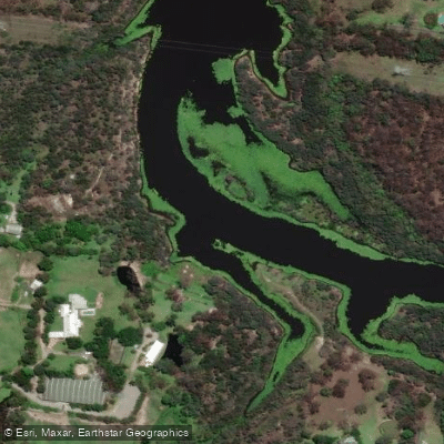
Tingalpa Creek
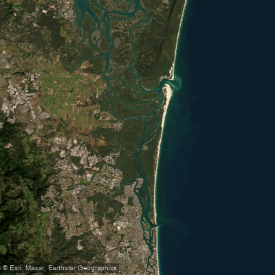
Southern Moreton Bay
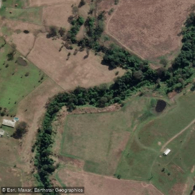
Albert River
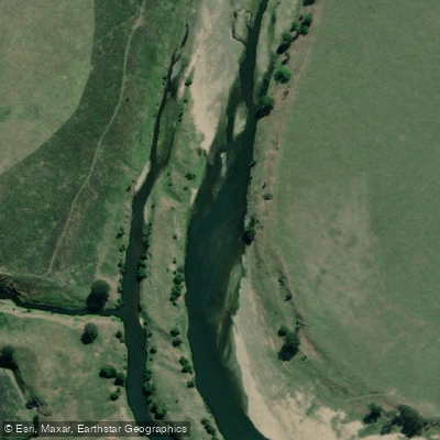
Brisbane River
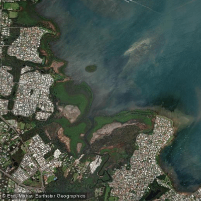
Eprapah Creek
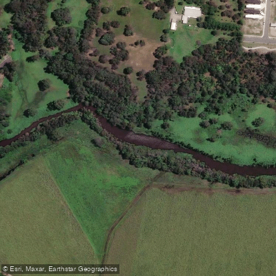
Pimpama River
Explore Queensland waters
Top paddling waters
No waters available right now.
Popular Cities
Loading popular cities...
Explore near Oxley Creek
Access points
Nearby waters
More in Queensland

Smarter Paddling Starts in the App.
Paddleways gives you everything you need to plan smarter, paddle better, and own every trip from first launch to takeout.