Lamerough Creek
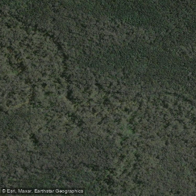
Lamerough Creek
- Boat Ramps
- 0
- Access Points
- 0
- Campsites
- 0
Lamerough Creek is a small stream located in Pelican Waters on Queensland's Sunshine Coast, flowing through the Lamerough Creek West Environmental Reserve near Caloundra. The creek sits at approximately 26°49′34.2″S, 153°06′23.8″E and is recognised as a paddling destination alongside walking and cycling along its banks.
The creek corridor runs roughly 4 kilometres in a linear alignment, with two main access points. The southern end is reached via the west exit at the Pelican Waters Boulevard and Tweddell Drive roundabout, near Caloundra City Private School, where parking for at least four vehicles is available. The northern end is accessed from the top of Tweddell Drive, where an open field and a covered picnic table are nearby. Three undercover picnic tables in total are located along the route, along with a viewing platform overlooking the creek.
The surrounding environment consists of a woodland of paperbarks and eucalypts with sedge vegetation along the creek margins. The area supports a diverse population of waterfowl, and blue water lilies can be seen flowering in season. Wrens, honeyeaters, and doves are among the bird species present. The creek is also fished for surf bream, Moses perch, and dusky flathead, which are the most commonly recorded species.
The Pumicestone Channel, Bells Creek, and Currimundi Creek are among the nearby waterways in the broader Caloundra area, which may offer additional paddling options for those visiting the region. Golden Beach township is less than five minutes' drive from the creek access points.
Water access, boat ramps & amenities
Learn how to get on Lamerough Creek. Uncover great paddling access points, boat ramps, and all the facilities you need for an unforgettable day on the water. Some locations shown may border or include private property. Always check property boundaries and applicable regulations before visiting. PaddleWays's Public & Private Land layer can help you plan your access with confidence.
Paddle smarter with real-time insights
Whether you're en route and conditions shift or you're looking for the best spot based on current flows, we enable you to make informed decisions on the fly.







Queensland licenses and regulations

Find Places to Paddle

Over 400,000 Places to Paddle
Every user gets free access to launch points, boat ramps, and public property parcels.


Water and weather conditions (10 day forecast)
See the best times to paddle Lamerough Creek and check the forecast before you go.
No forecast data available.
Paddling near Lamerough Creek
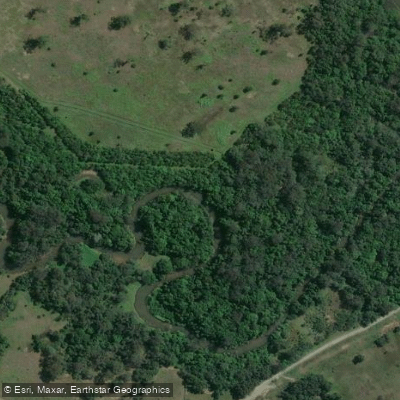
Mooloolah River
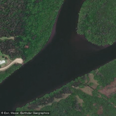
Maroochy River
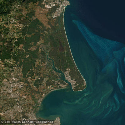
Pumicestone Passage
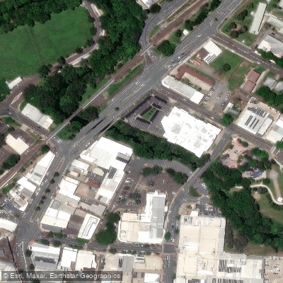
Petrie Creek
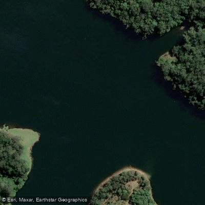
Obi Obi Creek

Moreton Bay
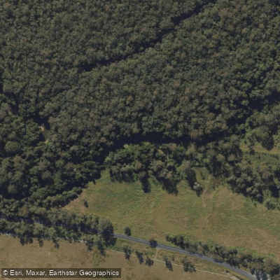
Stanley River
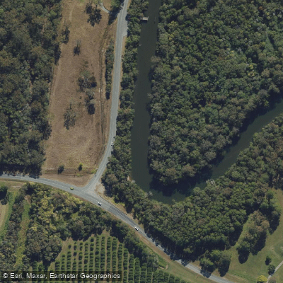
Elimbah Creek
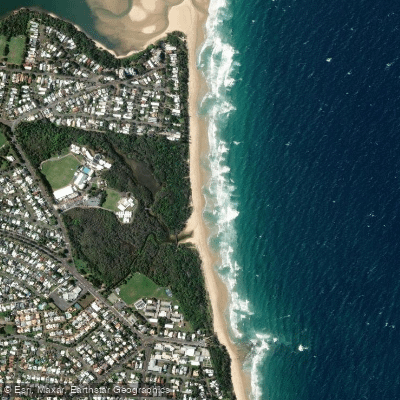
Dicky Beach
Explore Queensland waters
Top paddling waters
No waters available right now.
Popular Cities
Loading popular cities...
Explore near Lamerough Creek

Smarter Paddling Starts in the App.
Paddleways gives you everything you need to plan smarter, paddle better, and own every trip from first launch to takeout.