Petrie Creek
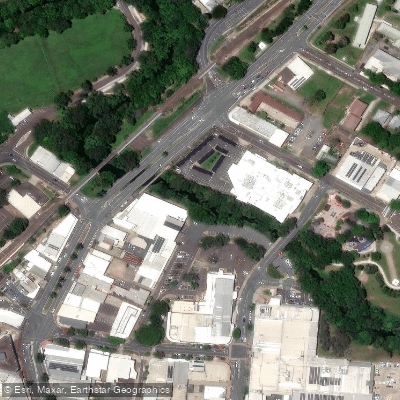
Petrie Creek
- Boat Ramps
- 0
- Access Points
- 0
- Campsites
- 0
Petrie Creek is a waterway located near Nambour on Queensland's Sunshine Coast, flowing into the broader Maroochy River system. Its coordinates place it at approximately 26°38′39″S 152°57′15.9″E. The creek is part of a well-established paddling network that includes the Maroochy River, Eudlo Creek, and Coolum Creek, making it a natural addition to multi-day or multi-leg paddling itineraries in the region.
The character of the paddling experience on Petrie Creek is described as pleasurably peaceful, with wandering waterways that reward a relaxed pace. The creek is accessible by kayak and canoe, and pontoon boats have also been noted travelling its lower reaches from the Maroochy River. Access points connect to the broader Maroochy River trail network, which includes landmarks such as Muller Park and the Dunethin Rock Lift Bridge in the vicinity.
The surrounding environment supports a variety of wildlife. Native fish species present in the creek include long-finned eels, Australian bass, freshwater mullet, sea mullet, and empire gudgeon. The broader Maroochy system also supports platypus, turtles, and diverse birdlife. Two fishways are being installed on Petrie Creek at Nambour to improve fish passage past existing weirs, a project that is expected to enhance the ecological health of the waterway and benefit recreational fishing as well.
Paddlers planning a trip should check weather reports before setting out and consult tide information, as tidal conditions affect the connected Maroochy River system. Recommended items to carry include water, food, sunscreen, a mobile phone, maps, waterproof jackets, a hat, warm clothing, and a first aid kit. Insect repellent is advised to manage mosquitoes. Weather and tide resources for the area include weather.com.au and coastwatch.com.au.
The creek sits within a region that offers considerable paddling variety, and it is listed among the notable paddling destinations on Queensland's southeast coast. Its relatively calm and winding nature makes it well suited to paddlers seeking a quieter experience away from the more exposed sections of the Maroochy River.
Water access, boat ramps & amenities
Learn how to get on Petrie Creek. Uncover great paddling access points, boat ramps, and all the facilities you need for an unforgettable day on the water. Some locations shown may border or include private property. Always check property boundaries and applicable regulations before visiting. PaddleWays's Public & Private Land layer can help you plan your access with confidence.
Paddle smarter with real-time insights
Whether you're en route and conditions shift or you're looking for the best spot based on current flows, we enable you to make informed decisions on the fly.







Queensland licenses and regulations

Find Places to Paddle

Over 400,000 Places to Paddle
Every user gets free access to launch points, boat ramps, and public property parcels.


Water and weather conditions (10 day forecast)
See the best times to paddle Petrie Creek and check the forecast before you go.
No forecast data available.
Paddling near Petrie Creek
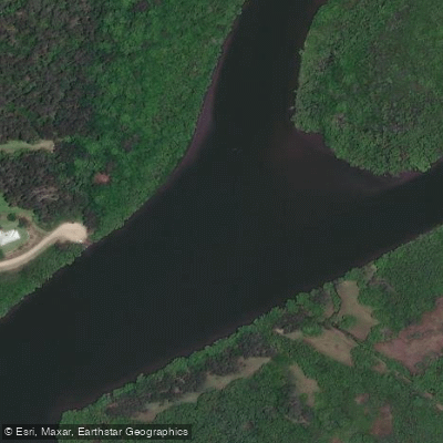
Maroochy River
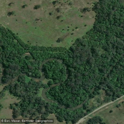
Mooloolah River
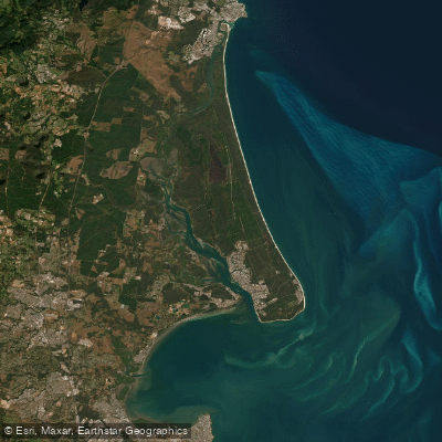
Pumicestone Passage
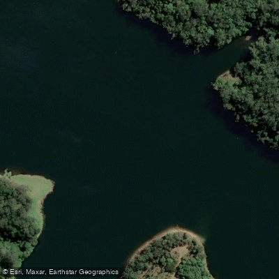
Obi Obi Creek

Moreton Bay
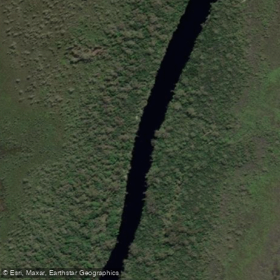
Noosa River
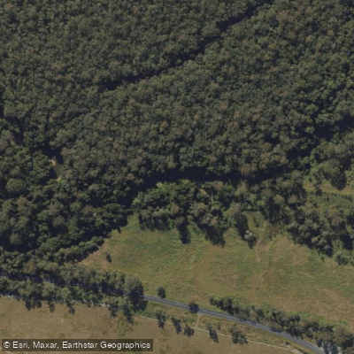
Stanley River
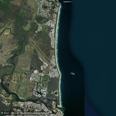
Yaroomba Beach
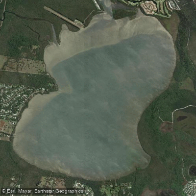
Lake Weyba
Explore Queensland waters
Top paddling waters
No waters available right now.
Popular Cities
Loading popular cities...
Explore near Petrie Creek

Smarter Paddling Starts in the App.
Paddleways gives you everything you need to plan smarter, paddle better, and own every trip from first launch to takeout.