Maroochy River
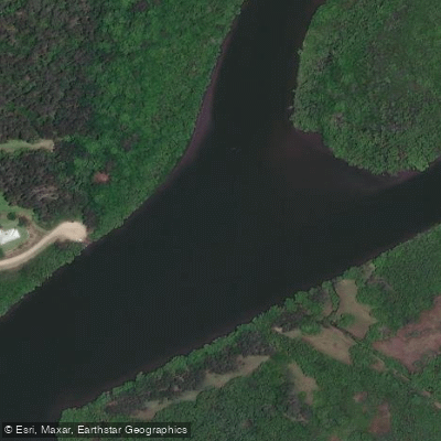
Maroochy River
- Boat Ramps
- 7
- Access Points
- 2
- Campsites
- 0
The Maroochy River is located on Queensland's Sunshine Coast and offers approximately 30 kilometres of paddling trails suitable for all levels of experience, from beginners to more seasoned paddlers. The river is slow-flowing, which makes it manageable for most skill levels, and the trail is used by families, seniors, couples, and groups alike.
The upper reaches begin at Lake Dunethin, which serves as a main entry point and features disability access, a boat ramp, a pontoon, and a picnic area with bathrooms located across the road. From Lake Dunethin, paddlers can head north toward George Best Park, situated just east of the Bruce Highway, or south toward Coolum Creek, the Maroochy Wetlands Sanctuary, and the Mangrove Islands in the lower reaches. The George Best Park to River Junction section represents the uppermost paddling stretch near Yandina, where following the current helps navigate some shallow sections. Paddlers should note that road noise from the nearby Bruce Highway can be noticeable at the start of this upper section.
Water conditions transition from freshwater in the upper reaches to brackish and then saltwater further downstream toward Maroochydore. The lower reaches near Maroochydore and the Cotton Tree area offer more amenities, including accommodation, restaurants, cafes, and shops along the waterfront. Upstream facilities are generally found within nearby townships.
Wildlife along the river includes dolphins, turtles, and a variety of bird species. The upper reaches retain a quieter, more rural character, with views of Mount Ninderry providing a notable landmark. The mid-river area features a rocky outcrop known as "The Rocks." The river winds through mangrove forests and wetlands, including the Maroochy Wetlands Sanctuary.
Paddlers are asked to land only at public or designated access points, as the trail passes farms and private residences. Using private jetties is not permitted. Respecting landholders' privacy and avoiding bank erosion are specifically called out as considerations. Other users of the trail include swimmers, motorboats, and jet skis, so awareness of river traffic is advisable. The Sunshine Coast Council website provides a full list of access points, distances between launch locations, and estimated paddling times.
Water access, boat ramps & amenities
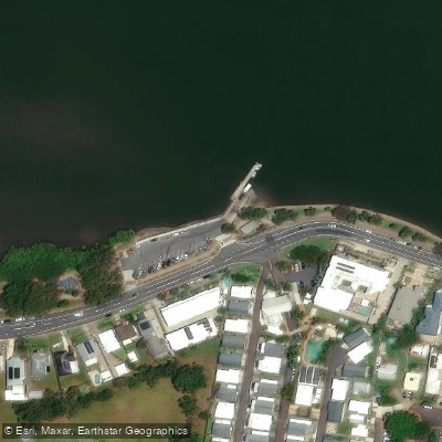
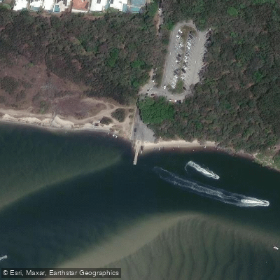
Learn how to get on Maroochy River. Uncover great paddling access points, boat ramps, and all the facilities you need for an unforgettable day on the water. Some locations shown may border or include private property. Always check property boundaries and applicable regulations before visiting. PaddleWays's Public & Private Land layer can help you plan your access with confidence.
Paddle smarter with real-time insights
Whether you're en route and conditions shift or you're looking for the best spot based on current flows, we enable you to make informed decisions on the fly.







Queensland licenses and regulations

Find Places to Paddle

Over 400,000 Places to Paddle
Every user gets free access to launch points, boat ramps, and public property parcels.


Water and weather conditions (10 day forecast)
See the best times to paddle Maroochy River and check the forecast before you go.
No forecast data available.
Paddling near Maroochy River
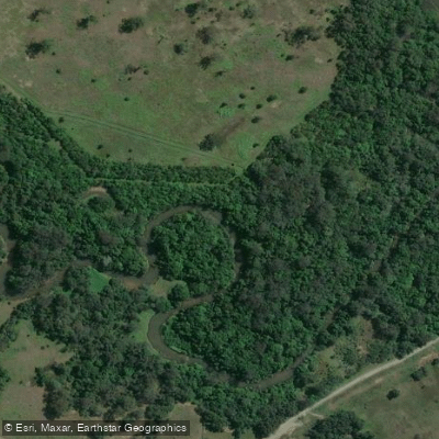
Mooloolah River
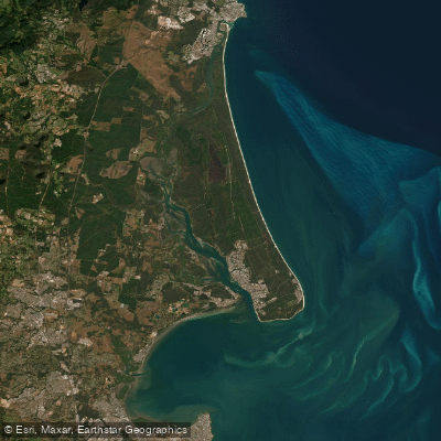
Pumicestone Passage
Petrie Creek
Obi Obi Creek

Moreton Bay
Noosa River
Stanley River
Yaroomba Beach
Lake Weyba
Explore Queensland waters
Top paddling waters
No waters available right now.
Popular Cities
Loading popular cities...
Explore near Maroochy River
Access points
Nearby waters
More in Queensland

Smarter Paddling Starts in the App.
Paddleways gives you everything you need to plan smarter, paddle better, and own every trip from first launch to takeout.