Obi Obi Creek
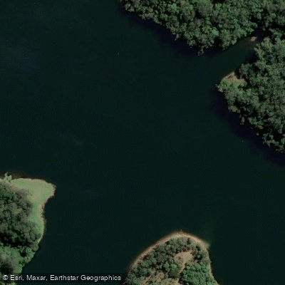
Obi Obi Creek
- Boat Ramps
- 0
- Access Points
- 0
- Campsites
- 1
Obi Obi Creek flows through the Sunshine Coast hinterland of Queensland, draining the Maleny area before feeding into Baroon Pocket Dam (Lake Baroon), which sits between Maleny and Montville. The creek is the primary water source for the dam, completed in 1989, which holds up to 61,000 megalitres at full capacity. The creek's name derives from the Aboriginal warrior Ubie Ubie, and the surrounding landscape carries significant cultural history, including the site of Bora Rings noted by explorer Ludwig Leichhardt in 1843.
One documented paddling route runs from Kenilworth Homestead downstream toward the Obi Obi Creek confluence on the Mary River near Kenilworth. For paddling the section downstream from Kenilworth, the Moy Pocket gauge is a useful reference point: a reading around 1.3 metres is considered suitable conditions, while higher levels such as 1.7 metres bring increased log hazards that paddlers should be prepared for. Submerged and floating timber is a notable safety consideration on this stretch, particularly at elevated water levels.
The riparian corridor along Obi Obi Creek supports a range of wildlife, including platypus, kingfishers, herons, and bush hens, as well as butterflies and dragonflies. The creek-side vegetation has been identified as an Endangered Remnant Regional Ecosystem, giving the waterway a relatively intact natural character. The creek also passes through areas with accessible swimming holes, including a crossing near Kenilworth off the Eumundi-Kenilworth Road that offers easy water access.
Given the creek's role as a drinking water catchment for the Baroon Pocket Dam, paddlers should be aware that water quality and catchment protection are priorities in this area. Maleny receives some of the highest rainfall in southeast Queensland, which means water levels can rise quickly following significant rain events, and conditions can change substantially between visits.
Water access, boat ramps & amenities
Learn how to get on Obi Obi Creek. Uncover great paddling access points, boat ramps, and all the facilities you need for an unforgettable day on the water. Some locations shown may border or include private property. Always check property boundaries and applicable regulations before visiting. PaddleWays's Public & Private Land layer can help you plan your access with confidence.
Paddle smarter with real-time insights
Whether you're en route and conditions shift or you're looking for the best spot based on current flows, we enable you to make informed decisions on the fly.







Queensland licenses and regulations

Find Places to Paddle

Over 400,000 Places to Paddle
Every user gets free access to launch points, boat ramps, and public property parcels.


Water and weather conditions (10 day forecast)
See the best times to paddle Obi Obi Creek and check the forecast before you go.
Obi Obi Creek At Gardners Falls
All Flow Stations
Paddling near Obi Obi Creek
Maroochy River
Mooloolah River
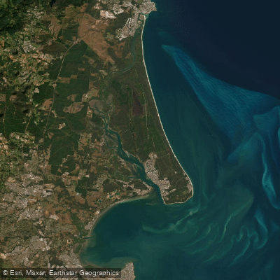
Pumicestone Passage
Petrie Creek

Moreton Bay
Noosa River
Stanley River
Yaroomba Beach
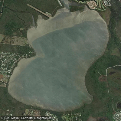
Lake Weyba
Explore Queensland waters
Top paddling waters
No waters available right now.
Popular Cities
Loading popular cities...
Explore near Obi Obi Creek
Access points
Nearby waters
More in Queensland

Smarter Paddling Starts in the App.
Paddleways gives you everything you need to plan smarter, paddle better, and own every trip from first launch to takeout.