Pumicestone Passage
- Saltwater
- Estuary
Pumicestone Passage
- Saltwater
- Estuary
- Sq. miles
- 105
- Boat Ramps
- 3
- Access Points
- 2
- Campsites
- 30
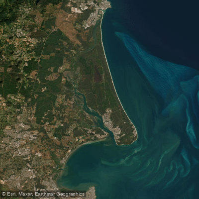
Pumicestone Passage is a 35-kilometer-long coastal estuary separating Bribie Island from the mainland, stretching from Caloundra in the north to Deception Bay. It is a narrow, winding, and shallow waterway that is part of the Ramsar-listed Moreton Bay Marine Park. The passage is known for its significant tidal influence, with some areas drying out completely at low tide, making tide timing a critical safety and planning consideration for paddlers. The water is generally sheltered and mangrove-fringed, providing a scenic aquatic playground popular for kayaking, paddle boarding, and canoeing. Key access points for launching include Golden Beach on the mainland and the Toorbul Boat Ramp, which provides straightforward access to the passage. A popular paddling route is the loop from Golden Beach across to Bribie Island. The area is a declared fish habitat area and a high-value waterway, home to a rich diversity of wildlife including dolphins, dugongs, turtles, and hundreds of species of birds, including migratory shorebirds. While the passage attracts boat traffic, its sheltered nature generally limits large wave fetch, though paddlers should be mindful of channel crossings and other vessels. The environmental health of the passage is managed under a catchment action plan due to concerns about declining water quality and habitat loss, though it remains a regionally significant ecological and recreational asset.
Water access, boat ramps & amenities
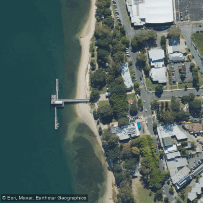
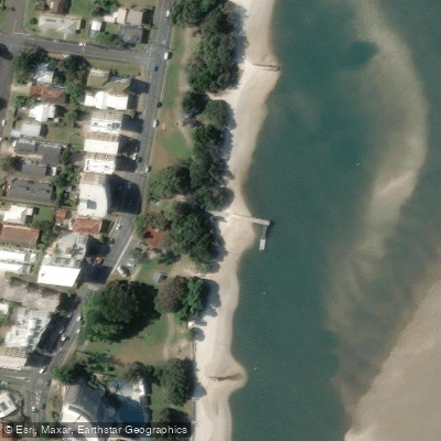
Learn how to get on Pumicestone Passage. Uncover great paddling access points, boat ramps, and all the facilities you need for an unforgettable day on the water. Some locations shown may border or include private property. Always check property boundaries and applicable regulations before visiting. PaddleWays's Public & Private Land layer can help you plan your access with confidence.
Paddle smarter with real-time insights
Whether you're en route and conditions shift or you're looking for the best spot based on current flows, we enable you to make informed decisions on the fly.







Queensland licenses and regulations

Find Places to Paddle

Over 400,000 Places to Paddle
Every user gets free access to launch points, boat ramps, and public property parcels.


Tides, wind & water conditions (10 day forecast)
On open water, wind and tide matter as much as the weather. See the best times to paddle Pumicestone Passage and check the marine forecast before you launch.
Loading tide predictions…
Paddling near Pumicestone Passage
Mooloolah River
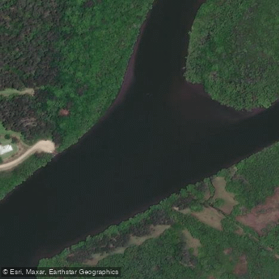
Maroochy River
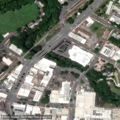
Petrie Creek
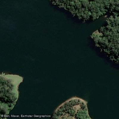
Obi Obi Creek

Moreton Bay
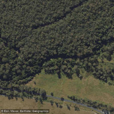
Stanley River
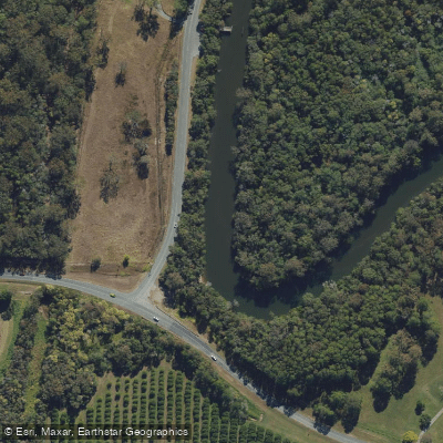
Elimbah Creek
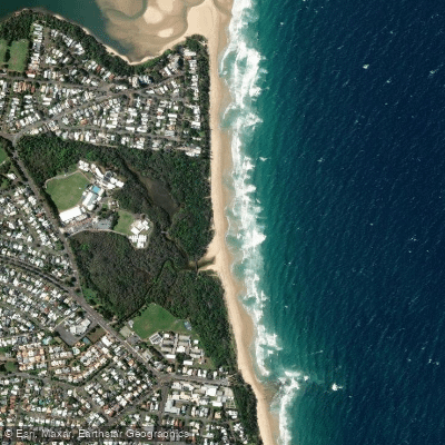
Dicky Beach
Lamerough Creek
Explore Queensland waters
Top paddling waters
No waters available right now.
Popular Cities
Loading popular cities...
Explore near Pumicestone Passage
Access points
- Bellara, Marine Parade (North)
- Coochin Creek, Roys Road
- Sandstone Point, Kal Ma Kuta Drive
- Bongaree, First Avenue
- Golden Beach, Beattie Street
- Bribe Camp Site 22/23
- Bribie Camp Site 11
- Bribie Camp Site 31-34
- Gallagher Point Camping Area
- Lime Pocket Camp Site 1
- Lime Pocket Camp Site 2
- Lime Pocket Camp Site 4
- All 35 spots
Nearby waters
More in Queensland

Smarter Paddling Starts in the App.
Paddleways gives you everything you need to plan smarter, paddle better, and own every trip from first launch to takeout.