Stanley River
Stanley River
- Boat Ramps
- 0
- Access Points
- 0
- Campsites
- 0
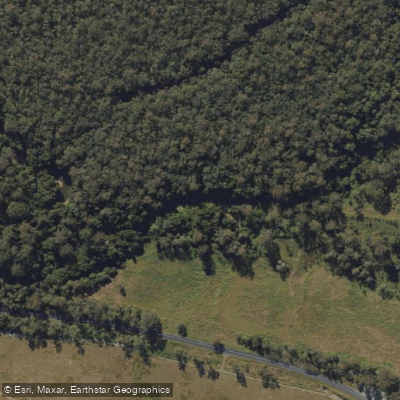
The Stanley River is a perennial river in South East Queensland, Australia, flowing roughly 35 kilometres from its source in the Conondale Range west of Landsborough, through Peachester and Woodford toward Kilcoy, before veering southward to its mouth below Lake Somerset, where it joins the Brisbane River. The river drains a basin of approximately 1,535 square kilometres and is a major tributary of the Brisbane River system.
For paddlers, the river offers two quite different experiences depending on the section. The stretch of the Stanley River between Peachester and the D'Aguilar Highway crossing near Woodford is strongly discouraged for paddling due to the high frequency of fallen trees, which create conditions ranging from badly obstructed to extremely hazardous. This section should be avoided.
The more accessible and rewarding paddling is found on the upper reaches of Lake Somerset, where the Stanley River feeds into the top of the dam. When the dam is near full, it is possible to paddle approximately 37 kilometres from The Spit boat ramp to a point on the Stanley River above the Neurum Road bridge, where the catchment tapers off. The forested hills along the shoreline provide pleasant scenery, and the Stanley River arm of the lake offers genuine exploratory paddling through a number of small inlets and creeks. The boat ramp at Westvale Road, where the Stanley River enters the top of the lake, is considered an excellent access point for this area.
Below Somerset Dam, access to the Stanley River is available at the Somerset Park Camp Ground, though this is restricted to paying guests at the campsite. Between Somerset and Wivenhoe dams, the Stanley River and its confluence with the Brisbane River can also be explored from O'Sheas Crossing, which is limited to paddle craft only and provides good water access. This section benefits from year-round steady water levels due to dam management, making it a reliable paddling destination regardless of season. The birdlife in the region is noted as exceptional, and standing timber both on the banks and in the water adds to the visual character of the area.
Water access, boat ramps & amenities
Learn how to get on Stanley River. Uncover great paddling access points, boat ramps, and all the facilities you need for an unforgettable day on the water. Some locations shown may border or include private property. Always check property boundaries and applicable regulations before visiting. PaddleWays's Public & Private Land layer can help you plan your access with confidence.
Paddle smarter with real-time insights
Whether you're en route and conditions shift or you're looking for the best spot based on current flows, we enable you to make informed decisions on the fly.







Queensland licenses and regulations

Find Places to Paddle

Over 400,000 Places to Paddle
Every user gets free access to launch points, boat ramps, and public property parcels.


Water and weather conditions (10 day forecast)
See the best times to paddle Stanley River and check the forecast before you go.
Stanley R At Peachester
All Flow Stations
Paddling near Stanley River
Mooloolah River
Maroochy River
Pumicestone Passage
Petrie Creek
Obi Obi Creek

Moreton Bay
Elimbah Creek
Dicky Beach
Lamerough Creek
Explore Queensland waters
Top paddling waters
No waters available right now.
Popular Cities
Loading popular cities...
Explore near Stanley River

Smarter Paddling Starts in the App.
Paddleways gives you everything you need to plan smarter, paddle better, and own every trip from first launch to takeout.