Yaroomba Beach
- Saltwater
- Beach
Yaroomba Beach
- Saltwater
- Beach
- Sq. miles
- 1.3
- Boat Ramps
- 0
- Access Points
- 0
- Campsites
- 0
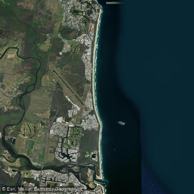
Yaroomba Beach is an open surf beach on the Coral Sea, forming the eastern boundary of the Sunshine Coast suburb of Yaroomba. The beach is a long strip of sand backed by dunes, with the land rising gently from the shore. Access for paddlers is via numerous formal beach access points, specifically numbered from 87 to 109, with access points 89 and 90 near Birrahl Park being seasonally patrolled by surf lifesavers. The beach is adjacent to David Low Way, providing road access, and parking is available. The overall character is that of a surf beach popular with surfers, particularly towards the rocky Point Arkwright headland to the north. This headland and the adjacent coastline offer notable sights; paddlers can enjoy views of Mount Coolum and explore along the white sandy beach adjacent to dunes with a backdrop of stringybark eucalyptus forest. The area is a significant nesting site for endangered loggerhead turtles. The beach's name originates from the Kabi word for "surf on the beach," indicating its exposed nature. Paddlers should be aware this is an open surf beach, meaning it is exposed to wind and ocean swell. Surf conditions, including wedgy beach breaks, are present, and there is no protective harbor or bay, making the launch and landing conditions entirely dependent on swell, wind, and tide. The beach is directly exposed to the prevailing southeasterly winds. There are walking tracks and boardwalks over the Point Arkwright headland leading north towards Coolum Beach, which is 2.7 kilometers from the center of Yaroomba. Coolum Creek, where paddle sports like canoeing, kayaking, and paddleboarding are allowed, is a nearby paddle destination reachable from this beach. General surf safety and awareness of seasonal patrol flags near Birrahl Park are advised.
Water access, boat ramps & amenities
Learn how to get on Yaroomba Beach. Uncover great paddling access points, boat ramps, and all the facilities you need for an unforgettable day on the water. Some locations shown may border or include private property. Always check property boundaries and applicable regulations before visiting. PaddleWays's Public & Private Land layer can help you plan your access with confidence.
Paddle smarter with real-time insights
Whether you're en route and conditions shift or you're looking for the best spot based on current flows, we enable you to make informed decisions on the fly.







Queensland licenses and regulations

Find Places to Paddle

Over 400,000 Places to Paddle
Every user gets free access to launch points, boat ramps, and public property parcels.


Tides, wind & water conditions (10 day forecast)
On open water, wind and tide matter as much as the weather. See the best times to paddle Yaroomba Beach and check the marine forecast before you launch.
Loading tide predictions…
Paddling near Yaroomba Beach
Maroochy River
Mooloolah River
Pumicestone Passage
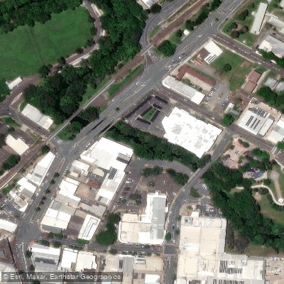
Petrie Creek
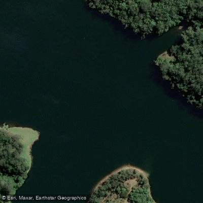
Obi Obi Creek

Moreton Bay
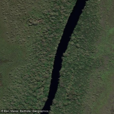
Noosa River
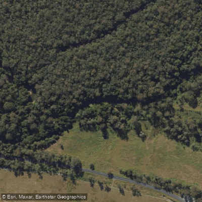
Stanley River
Lake Weyba
Explore Queensland waters
Top paddling waters
No waters available right now.
Popular Cities
Loading popular cities...
Explore near Yaroomba Beach

Smarter Paddling Starts in the App.
Paddleways gives you everything you need to plan smarter, paddle better, and own every trip from first launch to takeout.