Lake Saint Clair
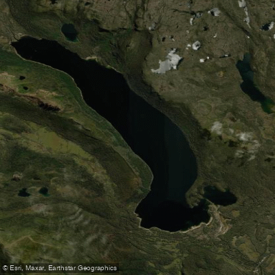
Lake Saint Clair
- Boat Ramps
- 1
- Access Points
- 0
- Campsites
- 3
Lake St Clair sits in Tasmania's Central Highlands within the Cradle Mountain–Lake St Clair National Park, forming the southern boundary of that park. It holds the distinction of being Australia's deepest freshwater lake, a glacially formed body of water shaped during the last ice age. The lake is accessible via the Lyell Highway (A10), with the main visitor hub located at Cynthia Bay, where a visitor centre, picnic areas, public toilets, showers, a shop, and parking are available. Cynthia Bay serves as the primary put-in and take-out point for paddlers.
Boating is permitted on the lake, making it a viable destination for kayakers and canoeists. The lake is fed by snowmelt and alpine streams, which keeps water temperatures cold year-round, including during summer months. Paddlers should plan accordingly with appropriate thermal protection regardless of season. The cold water presents a genuine safety consideration, and caution near shore is advisable.
The lake is framed by dense rainforest and alpine ranges, with Mount Olympus being a prominent landmark visible from the water. The lake's still surface produces strong reflections of the surrounding peaks and forest. Wildlife in the area includes wombats, echidnas, platypus, wallabies, pademelons, and native birdlife, with platypus and echidnas regularly spotted during daylight hours and mammals more active at dusk and dawn.
A ferry service operates on the lake, which paddlers should be aware of when planning routes. The lake is also a destination for anglers, with spinning, trolling, and fly-fishing all practiced on the water. Visitors to the national park are required to hold a valid National Park Pass, which applies to those accessing the lake for paddling as well.
The lake is the finishing point of the 65-kilometre Overland Track, a six-day alpine walk beginning at Cradle Mountain's Ronny Creek, so the area can see significant foot traffic particularly during the walking season. Accommodation options near the lake include Pumphouse Point, a retreat situated over the water itself, and the Lake St Clair Tourist Park.
Water access, boat ramps & amenities
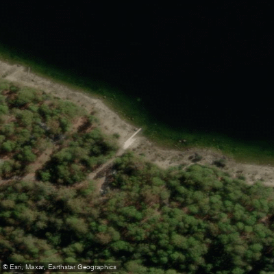
Learn how to get on Lake Saint Clair. Uncover great paddling access points, boat ramps, and all the facilities you need for an unforgettable day on the water. Some locations shown may border or include private property. Always check property boundaries and applicable regulations before visiting. PaddleWays's Public & Private Land layer can help you plan your access with confidence.
Paddle smarter with real-time insights
Whether you're en route and conditions shift or you're looking for the best spot based on current flows, we enable you to make informed decisions on the fly.








Find Places to Paddle

Over 400,000 Places to Paddle
Every user gets free access to launch points, boat ramps, and public property parcels.


Water and weather conditions (10 day forecast)
See the best times to paddle Lake Saint Clair and check the forecast before you go.
St.Clair Lake - At Dam
All Flow Stations
Paddling near Lake Saint Clair
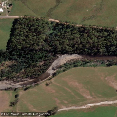
Mersey River
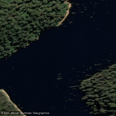
River Forth
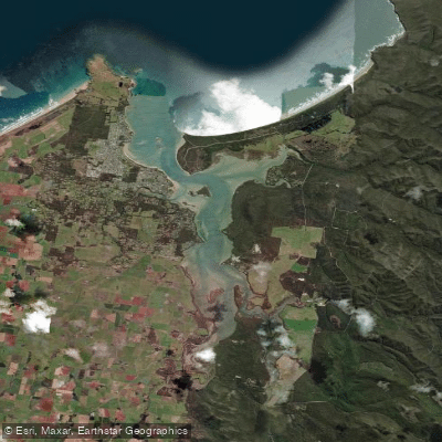
Port Sorell
Wilmot River
River Leven
Don River
River Tamar
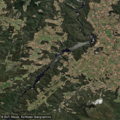
Lake Barrington
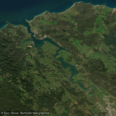
Tamar River
Forth Falls Creek
Explore Tasmania waters
Top paddling waters
No waters available right now.
Popular Cities
Loading popular cities...
Explore near Lake Saint Clair

Smarter Paddling Starts in the App.
Paddleways gives you everything you need to plan smarter, paddle better, and own every trip from first launch to takeout.