Pine River
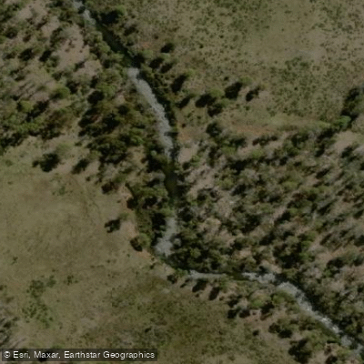
Pine River
- Boat Ramps
- 0
- Access Points
- 0
- Campsites
- 0
The Pine River system north of Brisbane comprises two main branches — the North Pine River and the South Pine River — both offering accessible flatwater paddling within reach of the city.
The South Pine River's middle section runs as an 11.3-kilometre out-and-back route graded moderate, starting from the canoe launch at Bob Bell Park on Learmonth Street in Strathpine, approximately 30 minutes north of Brisbane. Parking at the launch site is ample. Paddling upstream from the park, the river passes through farmland, public parks, residential properties, and a gravel quarry, with several road bridges and a railway line to pass beneath. Around 1.7 kilometres in, there is an island marked by electricity pylons where paddlers can choose either channel. The route ends near Linkfield Road in Brendale, where vegetation closes in and blocks further progress.
The banks along this section are frequently high and eroded, which can either shelter paddlers from wind or funnel it into a tunnel effect depending on conditions — low-wind days are recommended. A rocky section adds interest when paddled on an outgoing tide. The route can be completed year-round, though morning or afternoon starts are preferable given limited shade during the middle of the day.
The North Pine River is accessible from the Tinchi Tamba Wetlands Reserve at Deep Water Bend, situated on the south bank of the river. The reserve includes a boat ramp with a launching pontoon, picnic shelters, barbecues, a playground, boardwalks, and fishing platforms. The ramp is noted for being easy to use at any state of the tide, with no muddy residue. From this access point, paddlers can head south toward the Hornibrook Bridge area or travel north up the North Pine River. The section of the North Pine below the dam wall and above Youngs Crossing is described as quiet and pleasant.
The surrounding wetlands support abundant birdlife and diverse plant life, and the area retains a natural character due to its reserve status limiting residential development along the banks.
Water access, boat ramps & amenities
Learn how to get on Pine River. Uncover great paddling access points, boat ramps, and all the facilities you need for an unforgettable day on the water. Some locations shown may border or include private property. Always check property boundaries and applicable regulations before visiting. PaddleWays's Public & Private Land layer can help you plan your access with confidence.
Paddle smarter with real-time insights
Whether you're en route and conditions shift or you're looking for the best spot based on current flows, we enable you to make informed decisions on the fly.








Find Places to Paddle

Over 400,000 Places to Paddle
Every user gets free access to launch points, boat ramps, and public property parcels.


Water and weather conditions (10 day forecast)
See the best times to paddle Pine River and check the forecast before you go.
No forecast data available.
Paddling near Pine River
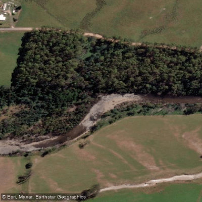
Mersey River
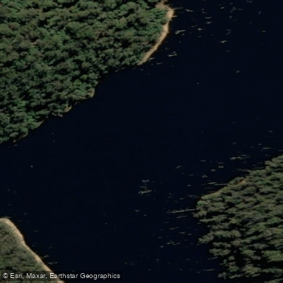
River Forth
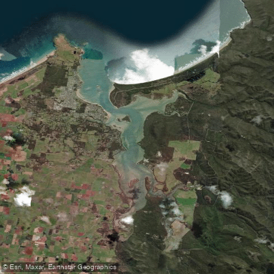
Port Sorell
Wilmot River
River Leven
Don River
River Tamar
Lake Barrington
Tamar River
Forth Falls Creek
Explore Tasmania waters
Top paddling waters
No waters available right now.
Popular Cities
Loading popular cities...
Explore near Pine River

Smarter Paddling Starts in the App.
Paddleways gives you everything you need to plan smarter, paddle better, and own every trip from first launch to takeout.