Lake Burrumbeet
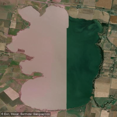
Lake Burrumbeet
- Boat Ramps
- 4
- Access Points
- 0
- Campsites
- 0
Lake Burrumbeet is a large, shallow freshwater lake located 20 kilometres west of Ballarat in central western Victoria, approximately 140 kilometres west of Melbourne. The lake covers a surface area of roughly 24 square kilometres, with a maximum length of 6.6 kilometres and a maximum width of 4.7 kilometres. Despite its considerable extent, the water is notably shallow, averaging around 2 metres in depth with a maximum of approximately 2.65 metres. The lake is classified as eutrophic, which has implications for water quality, including periodic blue-green algae outbreaks that have led to closures in the past. Paddlers should check local advisories before visiting, as conditions can change significantly.
Water levels at the lake have historically been variable. The lake was declared completely dry in 2004 after progressively emptying since 1997, but refilled following good rainfall in subsequent years. This variability means that paddling conditions can differ considerably from year to year, and it is worth confirming current water levels before planning a trip. A 5-knot speed limit applies on the lake, which creates a relatively calm environment for kayakers and canoeists sharing the water with motorised craft.
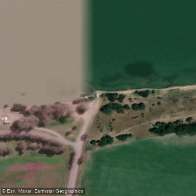
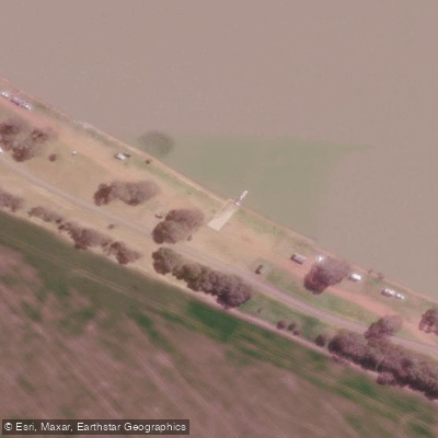
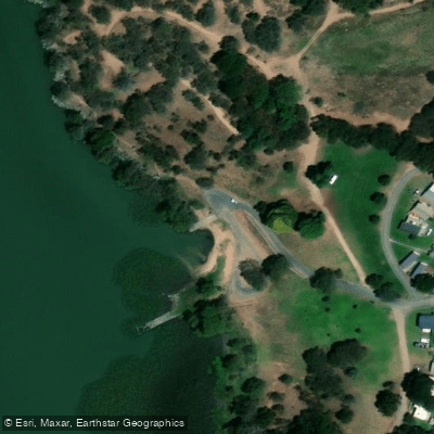
Access to the lake is available via the Canico Drive boat ramp, which has been upgraded with dual concrete lanes and improved parking. The lake is also listed as a paddling destination in the Central Victoria region by at least one paddling trail resource.
The surrounding area supports a 6-kilometre walking track and open picnic grounds. The lake is home to River Red Gums and provides habitat for a range of wetland bird species, including pelicans, eagles, Brolga, and Freckled Duck, making it of interest to paddlers who enjoy wildlife observation. Camping is permitted around the lake, and a caravan park is located nearby, making multi-day visits practical. The primary inflows are Burrumbeet Creek, Blind Creek, and Bo-Peep Creek, and the lake drains via Baillies Creek when water levels are sufficient. Carp are abundant and the lake has also been stocked with brown and rainbow trout, with over 30,000 fish introduced since 2020.
Water access, boat ramps & amenities
Learn how to get on Lake Burrumbeet. Uncover great paddling access points, boat ramps, and all the facilities you need for an unforgettable day on the water. Some locations shown may border or include private property. Always check property boundaries and applicable regulations before visiting. PaddleWays's Public & Private Land layer can help you plan your access with confidence.
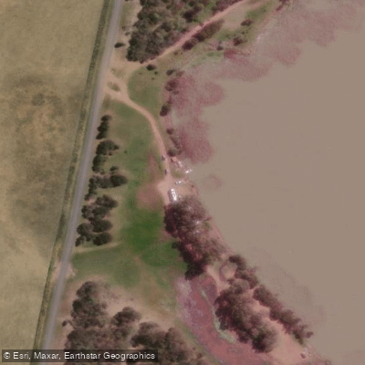
Paddle smarter with real-time insights
Whether you're en route and conditions shift or you're looking for the best spot based on current flows, we enable you to make informed decisions on the fly.








Find Places to Paddle

Over 400,000 Places to Paddle
Every user gets free access to launch points, boat ramps, and public property parcels.


Water and weather conditions (10 day forecast)
See the best times to paddle Lake Burrumbeet and check the forecast before you go.
No forecast data available.
Paddling near Lake Burrumbeet
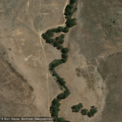
Woady Yaloak River

Werribee River

Port Phillip Bay
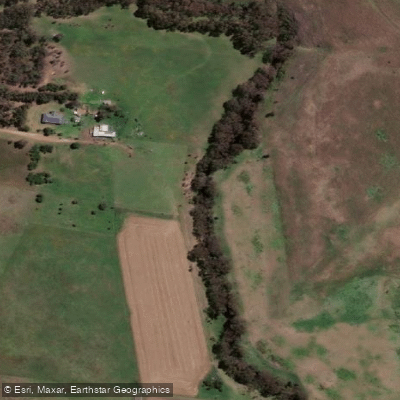
Moorabool River
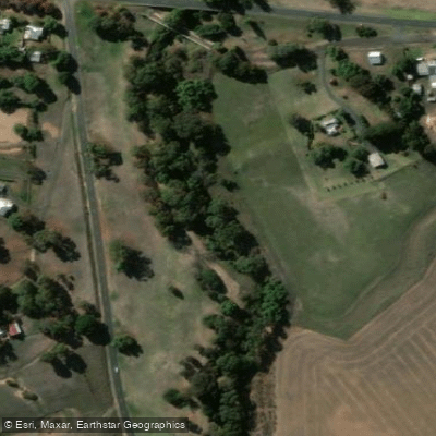
Leigh River

Port Phillip
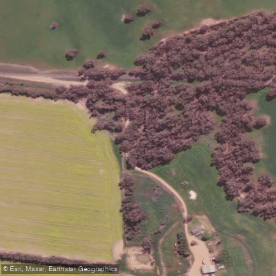
Loddon River
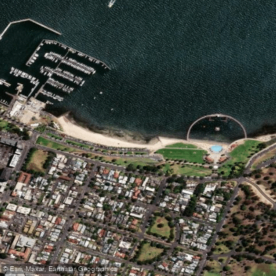
Eastern Beach

Campaspe River
Explore Victoria waters
Top paddling waters
No waters available right now.
Popular Cities
Loading popular cities...
Explore near Lake Burrumbeet
Access points
Nearby waters
More in Victoria

Smarter Paddling Starts in the App.
Paddleways gives you everything you need to plan smarter, paddle better, and own every trip from first launch to takeout.