Maribyrnong River
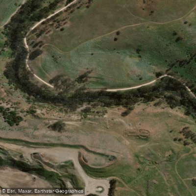
Maribyrnong River
- Boat Ramps
- 1
- Access Points
- 1
- Campsites
- 0
The Maribyrnong River is a perennial river in the north-western suburbs of Melbourne, Victoria. It draws its headwaters from near Mount Macedon in the Macedon Ranges, part of the Great Dividing Range, and is formed by the confluence of Jackson Creek and Deep Creek below Taylors Lakes. The river descends 42 metres over its 40-kilometre course, flowing generally southward before meeting the Yarra River at Yarraville and ultimately draining into Port Phillip Bay. It is considered Melbourne's second major river.
The river is well-suited to beginner and intermediate paddlers, with generally quiet waters through its urban and parkland sections. Two common launch points for kayaking are the Afton Street Pedestrian Bridge and the Footscray City Rowing Club grounds. From the Afton Street launch, a return paddle upstream to Solomons Crossing covers approximately 6 km each way. From the Footscray Rowing Club, the upstream run to Solomons Crossing extends to roughly 11 km each way, while a downstream paddle to where the Maribyrnong meets the Yarra is approximately 4.5 km each way. Toilets are available near the boat launch area. The Footscray Canoe Club is also located on the river and offers paddling events. Parking near the Footscray Boat Club launch is paid on weekdays and free on weekends.
Paddlers heading downstream can pass the Heavenly Queen Temple before reaching the Yarra or continuing to the bay. Upstream paddling takes paddlers through parks and nature reserves with varied birdlife. The Anglers Tavern and The Boathouse are both accessible by water, with piers where paddlers can tie up. Flemington Racecourse and Footscray Park are also visible from the river. The 25-kilometre Maribyrnong River Trail runs alongside the river for much of its length.
The river is popular year-round, with spring noted as a particularly scenic time to visit. Swimming is not recommended. Boaters wishing to access the river from Port Phillip can launch from the ramp at The Warmies in Newport. A public floating pontoon facility at Burndap Lake, replacing the former Edgewater Marina, includes a lower-level platform suitable for paddle craft. Dogs are permitted along the river but must be kept on a leash. River heights can be monitored through the Bureau of Meteorology's River Height Bulletin, which covers the Maribyrnong alongside other catchments in the region.
Water access, boat ramps & amenities
Learn how to get on Maribyrnong River. Uncover great paddling access points, boat ramps, and all the facilities you need for an unforgettable day on the water. Some locations shown may border or include private property. Always check property boundaries and applicable regulations before visiting. PaddleWays's Public & Private Land layer can help you plan your access with confidence.
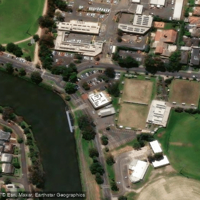
Paddle smarter with real-time insights
Whether you're en route and conditions shift or you're looking for the best spot based on current flows, we enable you to make informed decisions on the fly.








Find Places to Paddle

Over 400,000 Places to Paddle
Every user gets free access to launch points, boat ramps, and public property parcels.


Water and weather conditions (10 day forecast)
See the best times to paddle Maribyrnong River and check the forecast before you go.
Maribyrnong R-Keilor
All Flow Stations
Paddling near Maribyrnong River
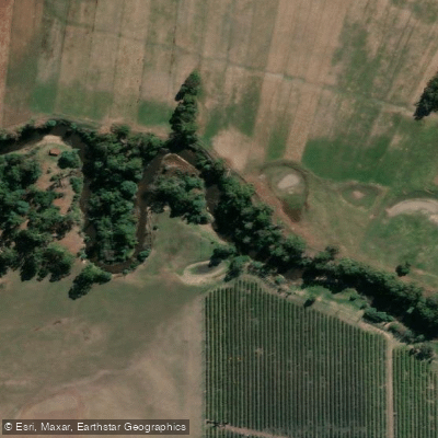
Yarra River

Port Phillip Bay

Werribee River
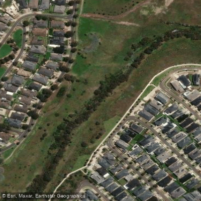
Kororoit Creek

Port Phillip
Stony Creek
Murrindindi River
St Kilda Beach

Campaspe River
Explore Victoria waters
Top paddling waters
No waters available right now.
Popular Cities
Loading popular cities...
Explore near Maribyrnong River

Smarter Paddling Starts in the App.
Paddleways gives you everything you need to plan smarter, paddle better, and own every trip from first launch to takeout.