Murrindindi River
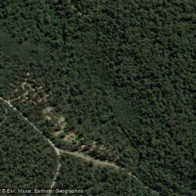
Murrindindi River
- Boat Ramps
- 0
- Access Points
- 0
- Campsites
- 7
The Murrindindi River flows through the Murrindindi Scenic Reserve, a 1,068-hectare protected area of mixed-species eucalypt forest situated in the northern end of Toolangi State Forest, approximately 1.5 hours' drive northeast of Melbourne. The reserve encompasses waterfalls, tree fern gullies, and diverse forest types ranging from tall open forest to damp ferny gullies.
The river is noted as suitable for paddling, though it is generally not deep enough for swimming or canoeing. Paddlers should factor this into their planning, as water levels may limit the type of craft and style of paddling that is practical on this waterway.
The reserve can be accessed from two directions. From Healesville, travel 13 km along Myers Creek Road toward Toolangi, turn right into Sylvia Creek Road and then onto Murrindindi Road, continuing approximately 21 km through mountain ash forest to the reserve. From Melbourne, travel along the Melba Highway to the intersection of Murrindindi Road just before Devlins Bridge, then turn right and drive 9 km to the reserve.
The river corridor is traversed by a 12 km one-way walking track that follows the Murrindindi River along the entire length of the reserve, crossing five footbridges and passing through varied forest types. The Murrindindi Cascades are a notable feature within the reserve. Six campsites and two picnic areas are available, with camping on a first-come, first-served basis and no bookings required, though early arrival is advisable during peak periods. Dogs and firearms are not permitted anywhere within the reserve, and on-the-spot fines apply.
The reserve sits on the traditional land of the Kulin nation, with the Taungurung people caring for the land to the north and the Wurundjeri people to the south. The name Murrindindi is believed to mean "Mountain Home" in the Wurundjeri language. The area supports an abundance of birds and mammals, adding a wildlife dimension to any time spent on the water.
Water access, boat ramps & amenities
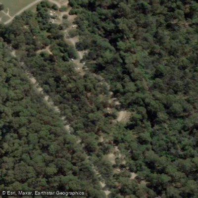
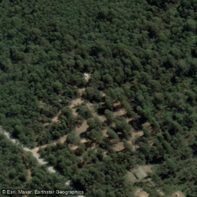
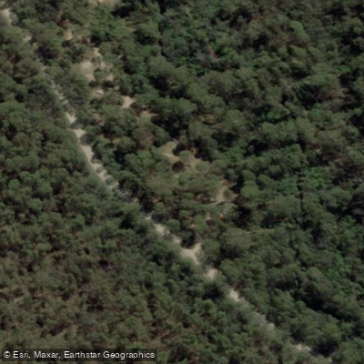
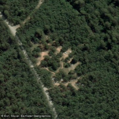
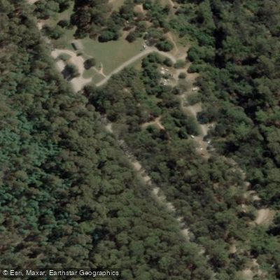
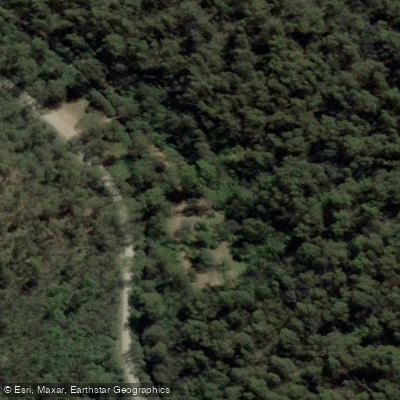
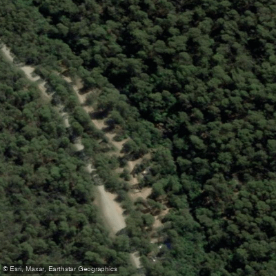
Learn how to get on Murrindindi River. Uncover great paddling access points, boat ramps, and all the facilities you need for an unforgettable day on the water. Some locations shown may border or include private property. Always check property boundaries and applicable regulations before visiting. PaddleWays's Public & Private Land layer can help you plan your access with confidence.
Paddle smarter with real-time insights
Whether you're en route and conditions shift or you're looking for the best spot based on current flows, we enable you to make informed decisions on the fly.








Find Places to Paddle

Over 400,000 Places to Paddle
Every user gets free access to launch points, boat ramps, and public property parcels.


Water and weather conditions (10 day forecast)
See the best times to paddle Murrindindi River and check the forecast before you go.
Murrindindi River @ Murrindindi Above Colwells
All Flow Stations
Paddling near Murrindindi River
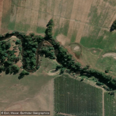
Yarra River
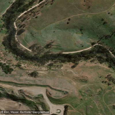
Maribyrnong River

Port Phillip Bay

Werribee River
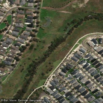
Kororoit Creek

Port Phillip
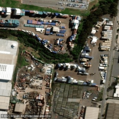
Stony Creek
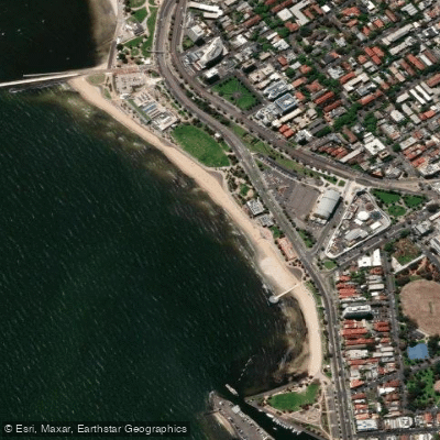
St Kilda Beach

Campaspe River
Explore Victoria waters
Top paddling waters
No waters available right now.
Popular Cities
Loading popular cities...
Explore near Murrindindi River

Smarter Paddling Starts in the App.
Paddleways gives you everything you need to plan smarter, paddle better, and own every trip from first launch to takeout.