Stony Creek
Stony Creek
- Boat Ramps
- 0
- Access Points
- 0
- Campsites
- 0
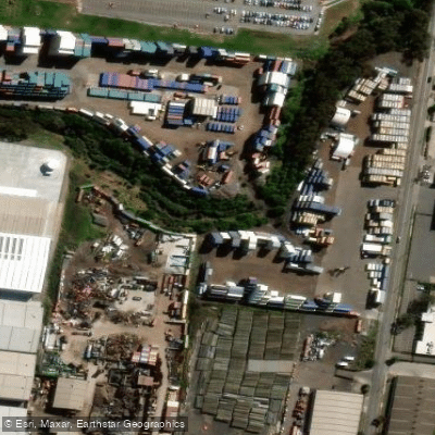
Stony Creek in Victoria runs alongside the Westgate Bridge in Melbourne's inner west. The creek offers a paddle of approximately 3.5 kilometres, which typically takes around one and a half hours to complete. Timing is critical: paddling at high tide is essential, as the creek becomes very shallow at lower water levels and sections would be impassable.
The upper portion of the creek, in its final 200 metres, passes through a golf course before reaching a concreted section. This stretch is shallow and narrow, and golf balls are regularly hit over — and occasionally into — the creek from the adjacent fairways. Turning around at the golf course boundary is the recommended approach rather than continuing to the concreted terminus.
The creek can be combined with a longer outing by extending the trip to or from the city, Williamstown, or Sandridge Beach, which significantly increases the overall distance and paddling time. The route along the creek also provides views of the Westgate Bridge's bike lane infrastructure and associated freeway works in the area.
As an urban waterway in Melbourne's industrial and residential west, the creek passes through a developed landscape rather than a natural one. The surrounding environment reflects its metropolitan setting, with the Westgate Bridge as a prominent landmark throughout the paddle.
Given the tidal dependency, paddlers should plan their launch time carefully around local tide tables to ensure adequate water depth for the full length of the creek.
Water access, boat ramps & amenities
Learn how to get on Stony Creek. Uncover great paddling access points, boat ramps, and all the facilities you need for an unforgettable day on the water. Some locations shown may border or include private property. Always check property boundaries and applicable regulations before visiting. PaddleWays's Public & Private Land layer can help you plan your access with confidence.
Paddle smarter with real-time insights
Whether you're en route and conditions shift or you're looking for the best spot based on current flows, we enable you to make informed decisions on the fly.








Find Places to Paddle

Over 400,000 Places to Paddle
Every user gets free access to launch points, boat ramps, and public property parcels.


Water and weather conditions (10 day forecast)
See the best times to paddle Stony Creek and check the forecast before you go.
Stony Ck-Spotswood
All Flow Stations
Paddling near Stony Creek
Yarra River
Maribyrnong River

Port Phillip Bay

Werribee River
Kororoit Creek

Port Phillip
Murrindindi River
St Kilda Beach

Campaspe River
Explore Victoria waters
Top paddling waters
No waters available right now.
Popular Cities
Loading popular cities...
Explore near Stony Creek

Smarter Paddling Starts in the App.
Paddleways gives you everything you need to plan smarter, paddle better, and own every trip from first launch to takeout.