Harvey Estuary
- Saltwater
- Estuary
Harvey Estuary
- Saltwater
- Estuary
- Sq. miles
- 23
- Boat Ramps
- 0
- Access Points
- 0
- Campsites
- 1
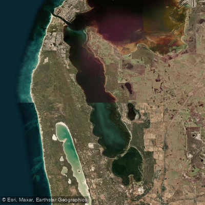
The Harvey Estuary is a large, sheltered saltwater estuary located in the Shire of Murray, Australia. It is the southern component of the Ramsar-listed Peel-Harvey Estuary system, which covers a total area of 136 square kilometres. This system is connected to the Indian Ocean via the Dawesville Channel and the natural Mandurah estuary mouth. The estuary is fed by the Harvey River from the south-east. The combined waterway is extensively used for recreation, including sailing, power boating, and fishing, which means paddlers should anticipate significant boat traffic, particularly during holiday periods and warmer months. The estuary is sheltered from the open sea by a line of large sand dunes, reducing ocean swell but creating a large, open expanse of water within the estuary itself that is exposed to wind. Paddlers have access to a network of formal launch sites, including the general-use site at Novara Foreshore Reserve in Falcon and the public boat ramp at Herron Point Campground on the eastern shoreline. Many sandy beaches around the estuary also serve as informal landing sites. The environment is rich in wildlife; the area is an Important Bird Area supporting large populations of migratory birds like Fairy Terns, and it is a known habitat for dolphins that visit from the ocean. The water body is characterized by a mix of natural bushland islands and developed foreshores with holiday homes, boatsheds, and jetties. Paddling conditions are tidal, as saltwater mixes with freshwater inflows, so trip planning must consider tide stages and wind direction across the open water. The estuary is part of the broader Peel-Harvey Estuary Paddle Trail Network, offering numerous route options for varied conditions and objectives.
Water access, boat ramps & amenities
Learn how to get on Harvey Estuary. Uncover great paddling access points, boat ramps, and all the facilities you need for an unforgettable day on the water. Some locations shown may border or include private property. Always check property boundaries and applicable regulations before visiting. PaddleWays's Public & Private Land layer can help you plan your access with confidence.
Paddle smarter with real-time insights
Whether you're en route and conditions shift or you're looking for the best spot based on current flows, we enable you to make informed decisions on the fly.







Western Australia licenses and regulations

Find Places to Paddle

Over 400,000 Places to Paddle
Every user gets free access to launch points, boat ramps, and public property parcels.


Tides, wind & water conditions (10 day forecast)
On open water, wind and tide matter as much as the weather. See the best times to paddle Harvey Estuary and check the marine forecast before you launch.
Loading tide predictions…
Paddling near Harvey Estuary
Peel Inlet
Murray River
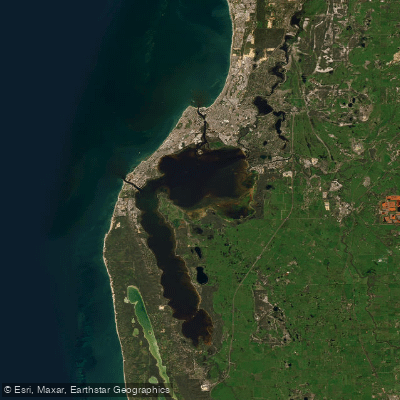
Peel-Harvey Estuary
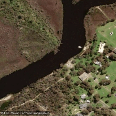
Serpentine River
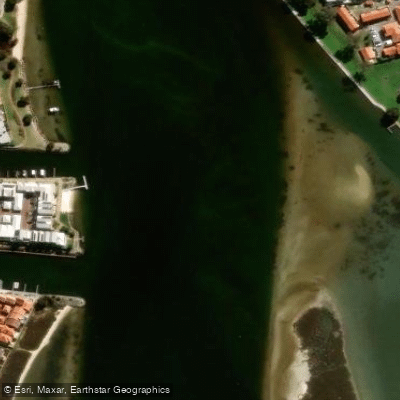
Mandurah Estuary
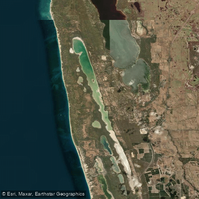
Lake Clifton
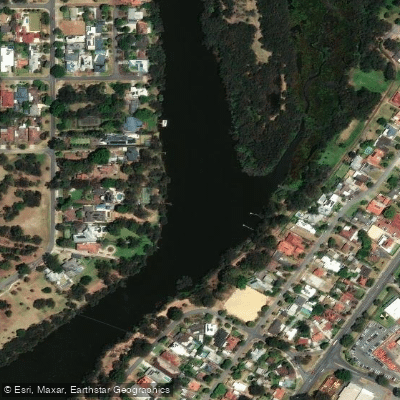
Swan River
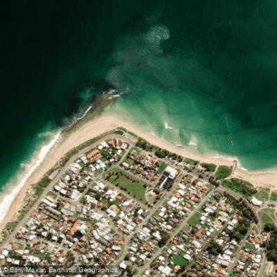
Doddis Beach
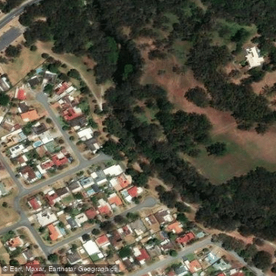
Canning River
Explore Western Australia waters
Top paddling waters
No waters available right now.
Popular Cities
Loading popular cities...
Explore near Harvey Estuary
Access points
Nearby waters
More in Western Australia

Smarter Paddling Starts in the App.
Paddleways gives you everything you need to plan smarter, paddle better, and own every trip from first launch to takeout.