Lake Clifton
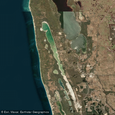
Lake Clifton
- Boat Ramps
- 0
- Access Points
- 0
- Campsites
- 0
Lake Clifton is a saline lake located within Yalgorup National Park, approximately 115 km south-southwest of Perth and 38 km southwest of Mandurah in Western Australia. The lake sits at the northern end of the national park, just off the Old Coast Road between Mandurah and Bunbury.
Paddling is not permitted on Lake Clifton. Canoeing and kayaking are explicitly prohibited to protect the sensitive ecosystems of Yalgorup National Park. This restriction applies to all paddle craft, including stand-up paddleboards. Paddlers wishing to explore the area by water are directed to the nearby Peel-Harvey Inlet as an alternative.
The lake is best known as the site of the largest thrombolite reef in the southern hemisphere. These rare, living rock-like formations are approximately 2,000 years old and are built by micro-organisms considered among Earth's earliest life forms. A purpose-built timber boardwalk with interpretive signage allows visitors to observe the thrombolites safely without entering the water. The formations are most visible between January and May, when lower water levels provide the clearest views.
The lake's saline wetlands support a variety of birdlife, including migratory species such as red-necked stints, sharp-tailed sandpipers, and black-winged stilts, making it a significant site for birdwatchers. The surrounding landscape includes tuart and peppermint woodlands, and along Newnham Road, visitors can find the ruins of a historic lime kiln that dates from the lake's earlier industrial use.
For paddlers who want to experience the broader area by water, the Great Egret Trail — a 14 km paddle originating from the Harvey Estuary and ending near Lake Clifton — is listed among the paddling trails accessible from Mandurah. This route offers an opportunity to take in birdlife and estuary scenery in the vicinity of the lake without entering the protected waters of the national park itself.
Water access, boat ramps & amenities
Learn how to get on Lake Clifton. Uncover great paddling access points, boat ramps, and all the facilities you need for an unforgettable day on the water. Some locations shown may border or include private property. Always check property boundaries and applicable regulations before visiting. PaddleWays's Public & Private Land layer can help you plan your access with confidence.
Paddle smarter with real-time insights
Whether you're en route and conditions shift or you're looking for the best spot based on current flows, we enable you to make informed decisions on the fly.







Western Australia licenses and regulations

Find Places to Paddle

Over 400,000 Places to Paddle
Every user gets free access to launch points, boat ramps, and public property parcels.


Water and weather conditions (10 day forecast)
See the best times to paddle Lake Clifton and check the forecast before you go.
No forecast data available.
Paddling near Lake Clifton
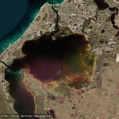
Peel Inlet
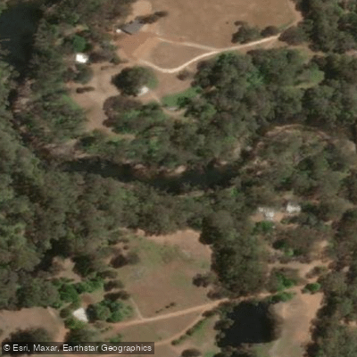
Murray River
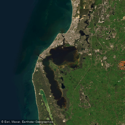
Peel-Harvey Estuary
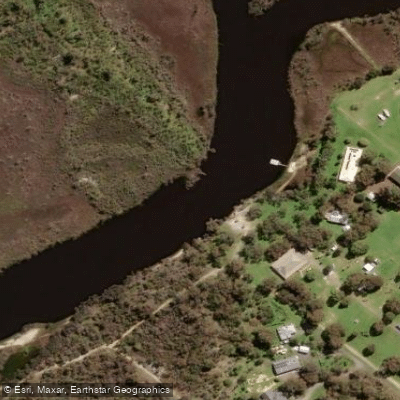
Serpentine River
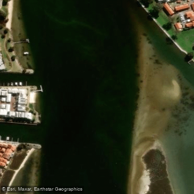
Mandurah Estuary
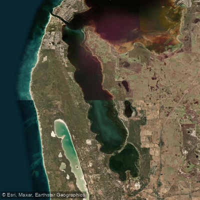
Harvey Estuary
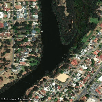
Swan River
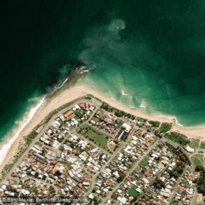
Doddis Beach
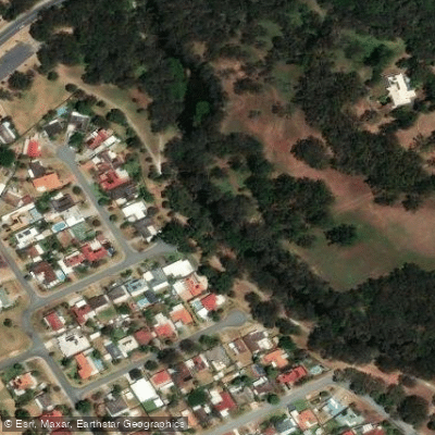
Canning River
Explore Western Australia waters
Top paddling waters
No waters available right now.
Popular Cities
Loading popular cities...
Explore near Lake Clifton
Nearby waters
More in Western Australia

Smarter Paddling Starts in the App.
Paddleways gives you everything you need to plan smarter, paddle better, and own every trip from first launch to takeout.