Serpentine River
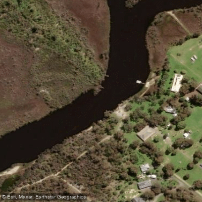
Serpentine River
- Boat Ramps
- 5
- Access Points
- 0
- Campsites
- 0
The Serpentine River is a 111-kilometre river in the South West region of Western Australia, rising below Bowerling Hill in the Darling Scarp at an elevation of 313 metres and flowing westward and then south before discharging into the Peel Inlet near Mandurah. Known as "Waangaamaap Bilya" to the Indigenous Bindjareb (Noongar) people, the river has sustained communities for millennia and is one of three rivers flowing into the Peel-Harvey Estuary, which is roughly twice the size of Sydney Harbour. The river passes through Serpentine National Park, over Serpentine Falls, and through several interconnected water bodies including Kerulup Pool, Lake Amarillo, and Goegrup Lake before reaching the estuary.
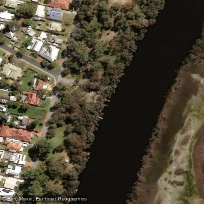
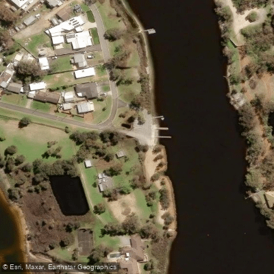
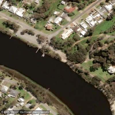
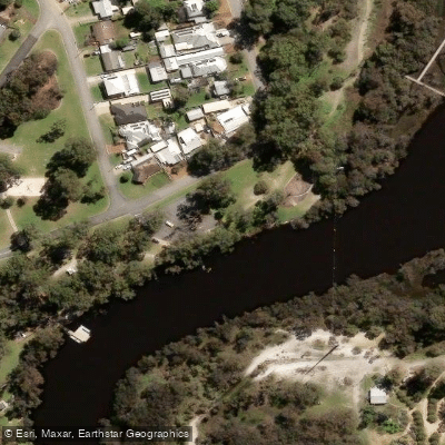
The primary paddling access point is Riverside Gardens Foreshore on Manjeep Road in Greenfields, which features an all-abilities launch facility. This floating platform includes contrasting colours, kick plates, grab rails, ramp access, a step seating option for transitioning from a seated position into a watercraft, and two custom slipways for safe entry and exit. ACROD parking, accessible toilets, accessible picnic and BBQ facilities, and a car park are all available at this site. An additional put-in is located in Greenfields (approximately 4.7 kilometres from Riverside Gardens Reserve), which has public toilets and a launch beach.
Two dedicated paddling trails operate on the river as part of the wider Peel-Harvey Estuary Paddle Trails network. The Heron Trail is an easy 12.8-kilometre route along the Serpentine River known for birdlife. The Spoonbill Trail covers 14.4 kilometres, running upstream from Riverside Gardens across Lake Goegrup and through the connecting lakes of Cogrup, Black Lake, Bulbilba Lake, and Road Lake. A popular guided day trip covers approximately 10 kilometres from the Greenfields put-in, snaking through backwaters, twists, and bends to the river mouth and back. Boating is noted to be active during peak season (school holidays) but generally less busy than the nearby Murray River.
Paddlers should be aware that the river can contain algae during warmer months, and toxic algal blooms have historically occurred, particularly in the upper reaches after hot weather. Navigation can prove difficult in some sections, and obstructions may be present in parts of the river. Rest and comfort sites may be harder to access depending on river levels. Paddlers are required to follow Western Australia Boating Rules and Regulations and must keep to the right in boating channels. Insect repellent is recommended due to mosquitoes. Wildlife commonly observed includes black swans, ospreys, yellow-billed spoonbills, and wild dolphins, with blue manna crabs also present in the estuary system.
Water access, boat ramps & amenities
Learn how to get on Serpentine River. Uncover great paddling access points, boat ramps, and all the facilities you need for an unforgettable day on the water. Some locations shown may border or include private property. Always check property boundaries and applicable regulations before visiting. PaddleWays's Public & Private Land layer can help you plan your access with confidence.
Paddle smarter with real-time insights
Whether you're en route and conditions shift or you're looking for the best spot based on current flows, we enable you to make informed decisions on the fly.







Western Australia licenses and regulations

Find Places to Paddle

Over 400,000 Places to Paddle
Every user gets free access to launch points, boat ramps, and public property parcels.


Water and weather conditions (10 day forecast)
See the best times to paddle Serpentine River and check the forecast before you go.
No forecast data available.
Paddling near Serpentine River
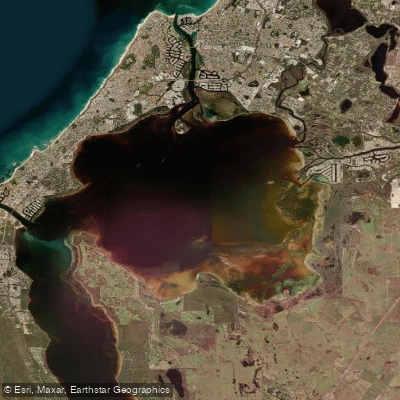
Peel Inlet
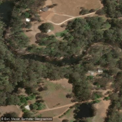
Murray River
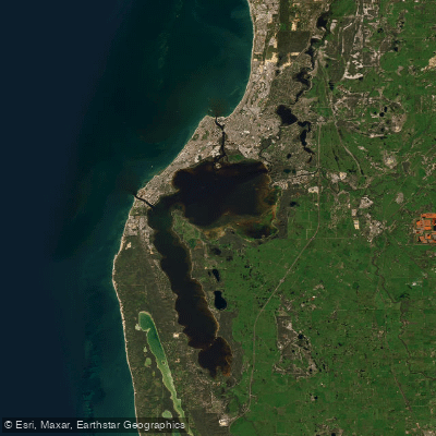
Peel-Harvey Estuary
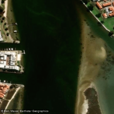
Mandurah Estuary
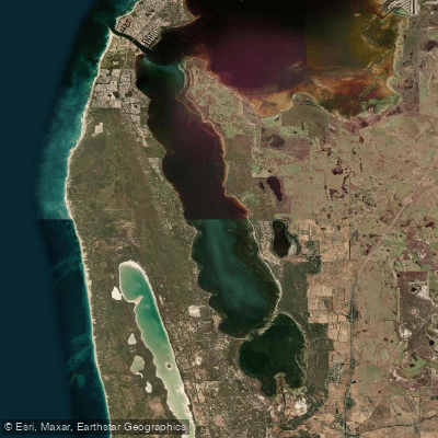
Harvey Estuary
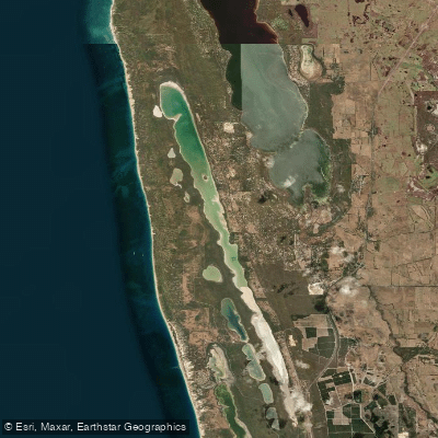
Lake Clifton
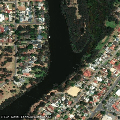
Swan River
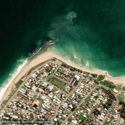
Doddis Beach
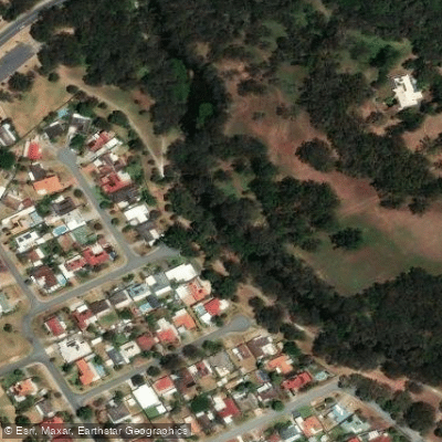
Canning River
Explore Western Australia waters
Top paddling waters
No waters available right now.
Popular Cities
Loading popular cities...
Explore near Serpentine River

Smarter Paddling Starts in the App.
Paddleways gives you everything you need to plan smarter, paddle better, and own every trip from first launch to takeout.